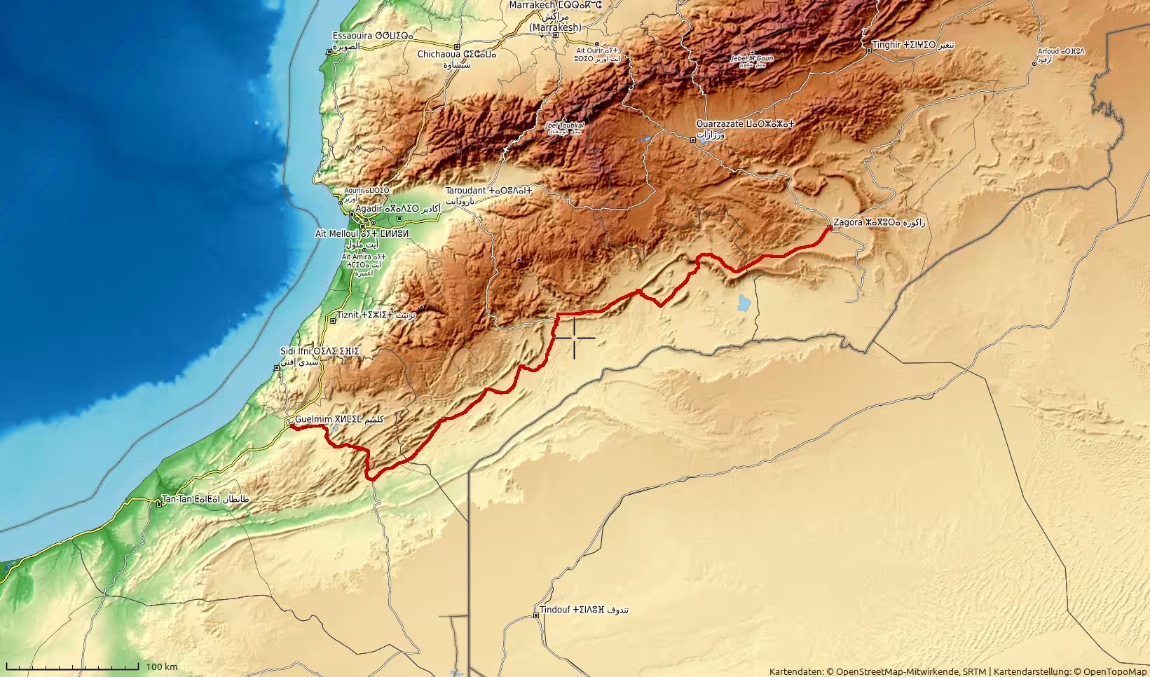
A long desert-road journey across southern Morocco, starting in Zagora and heading west through Foum Zguid, Tata, Akka and Assa before reaching Guelmim. The route covers almost 590 kilometers through dry valleys, stony plains, oasis towns, low mountains and remote interior landscapes. It is a demanding but rewarding travel day that connects the Draa region with Morocco’s southwestern gateway toward the Atlantic.
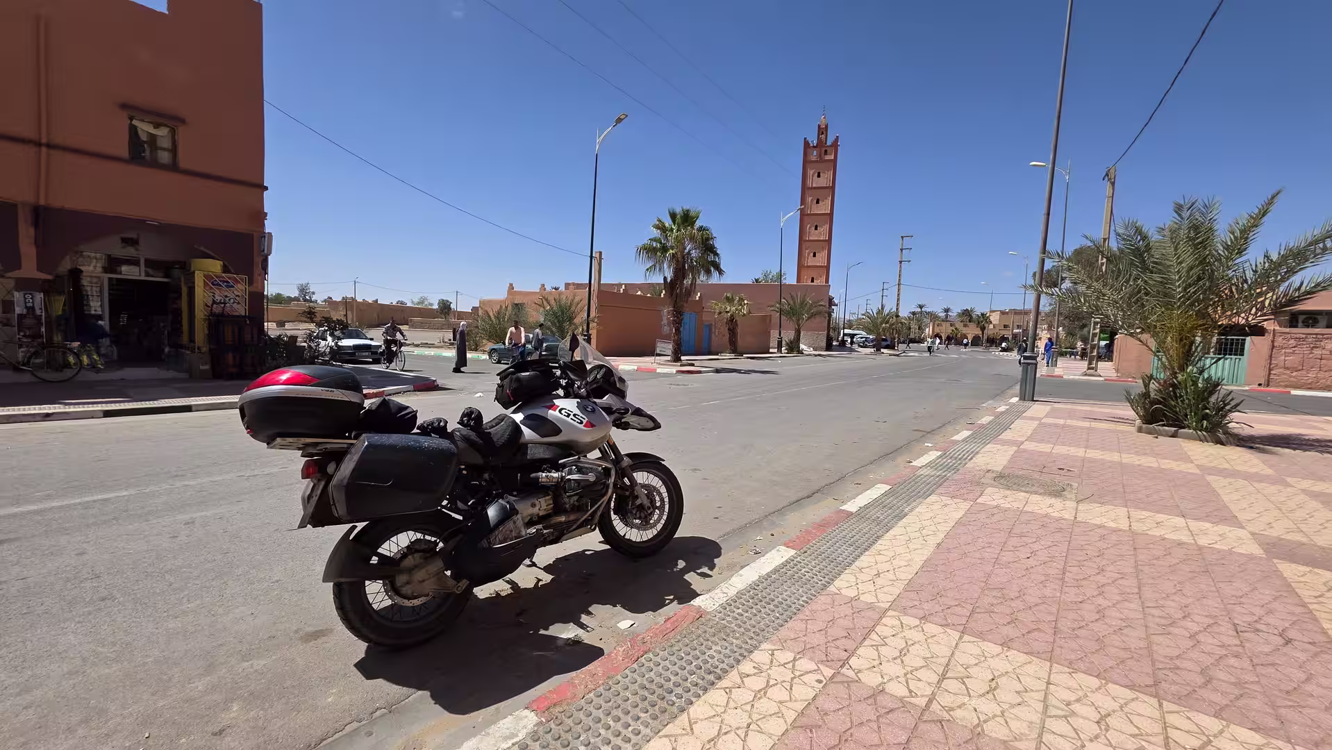
The journey began in Zagora, one of the great travel names of southern Morocco. After the long inland crossing of the previous day, the route now continued westward across an even wider and more remote part of the country. This was not a day of green valleys or coastal roads. It was a day of desert roads, dry mountains, oasis towns, long horizons, and the slow transition from the Draa region toward Morocco’s Atlantic-facing southwest.
Zagora was the starting point, but the feeling of the desert was already present before the first kilometers had passed. The town lies at the edge of the Draa Valley, surrounded by dry land, palm groves, low mountains, and a strong sense of distance. It is a place that has long been associated with travel toward the Sahara, and leaving it by road gives the journey an immediate overland character.
The morning began with the road moving out of Zagora into the dry landscapes west of the town. The first part of the route still carried the atmosphere of the Draa region: palm-lined settlements, earth-colored buildings, stony hills, and broad desert light. The valley was not always directly visible, but its influence remained in the pattern of settlements and the contrast between cultivated pockets and dry surrounding land.
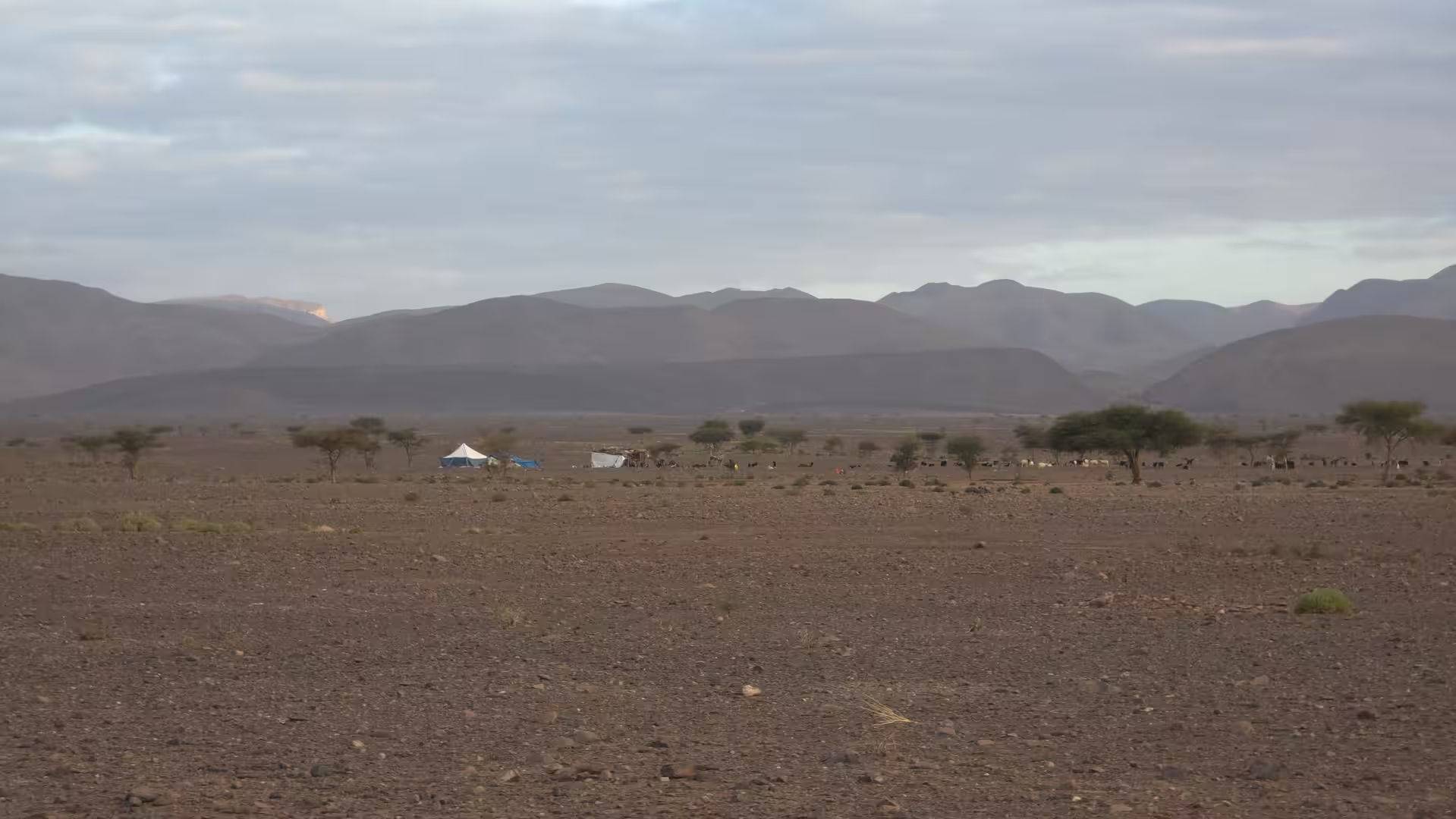
Soon after leaving Zagora, the landscape opened more strongly. The road began to move away from the more inhabited oasis corridor and into the dry interior. The scenery became wide and mineral. Low ridges appeared in the distance, the earth took on pale brown, ochre, and grey tones, and the road stretched across a landscape where each settlement felt like an important marker. This was not a route defined by frequent towns. It was a route defined by the spaces between them.

The first major stage led toward Foum Zguid. The road crossed dry country, gradually rising and falling through a landscape of stony plains, low mountains, and desert valleys. The GPS track showed the route remaining at a moderate elevation, mostly between roughly 600 and 900 meters during the early part of the day. This gave the drive the feeling of a high desert crossing rather than a low, flat desert road.
Foum Zguid became the first important stop of the day. The track shows several pauses in and around this area during the morning, making it a natural break after the initial drive from Zagora. Foum Zguid has the feeling of a frontier town between oasis routes, desert tracks, and the roads leading toward the Anti-Atlas and the wider southern interior. It is not a large city, but in a landscape like this, such towns are essential orientation points.
The pauses around Foum Zguid gave the journey a distinct rhythm. After the early start from Zagora, the route slowed down here. The stops may have been for fuel, food, supplies, rest, or orientation before continuing west. On long Moroccan desert roads, these breaks are more than interruptions. They are part of the travel structure. Services are limited, distances are long, and each town becomes a practical and psychological checkpoint.
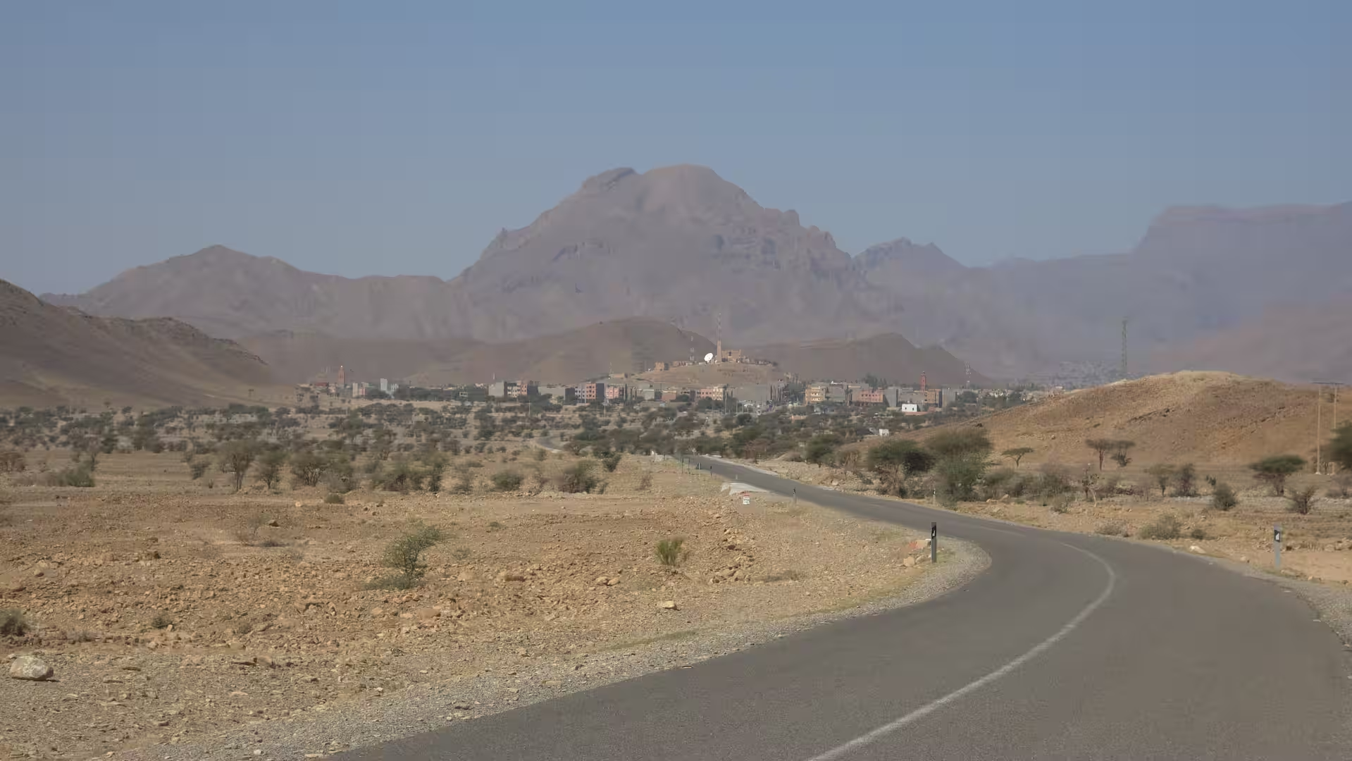
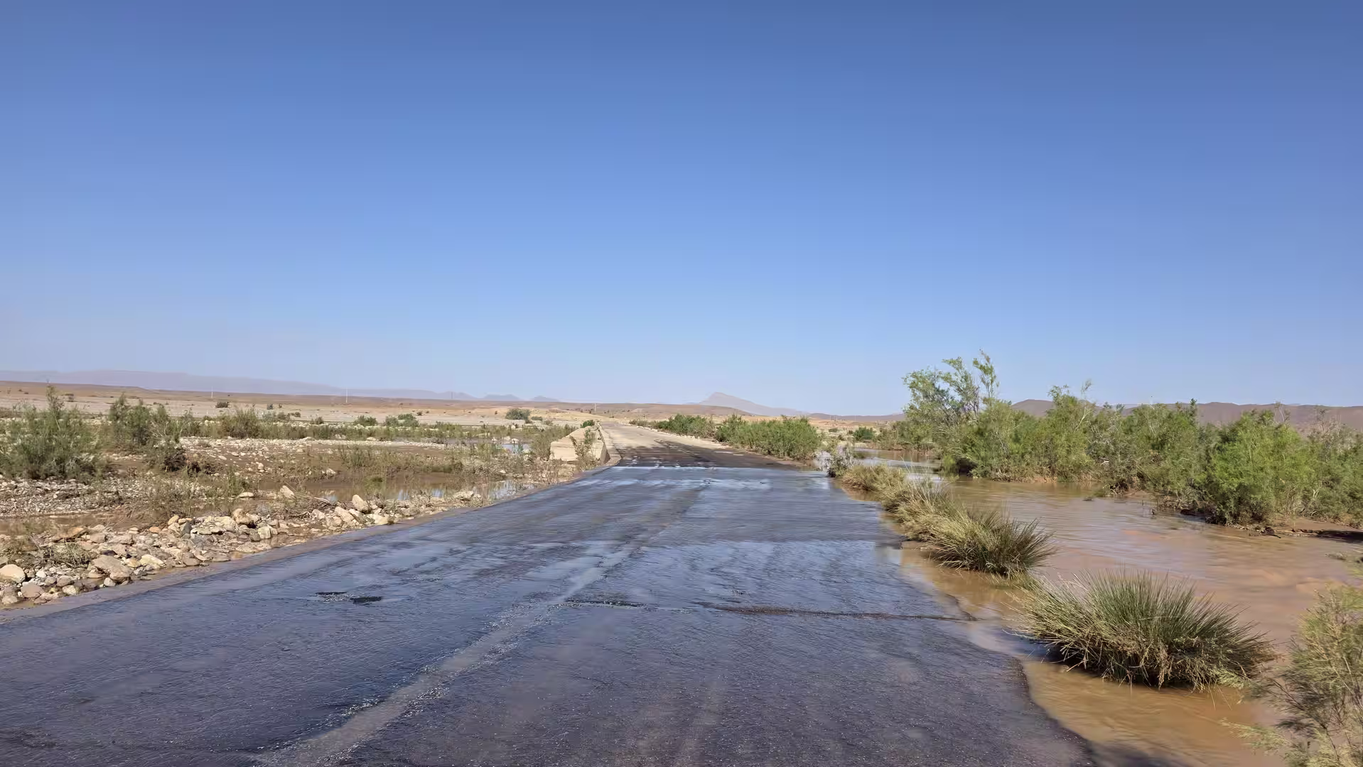
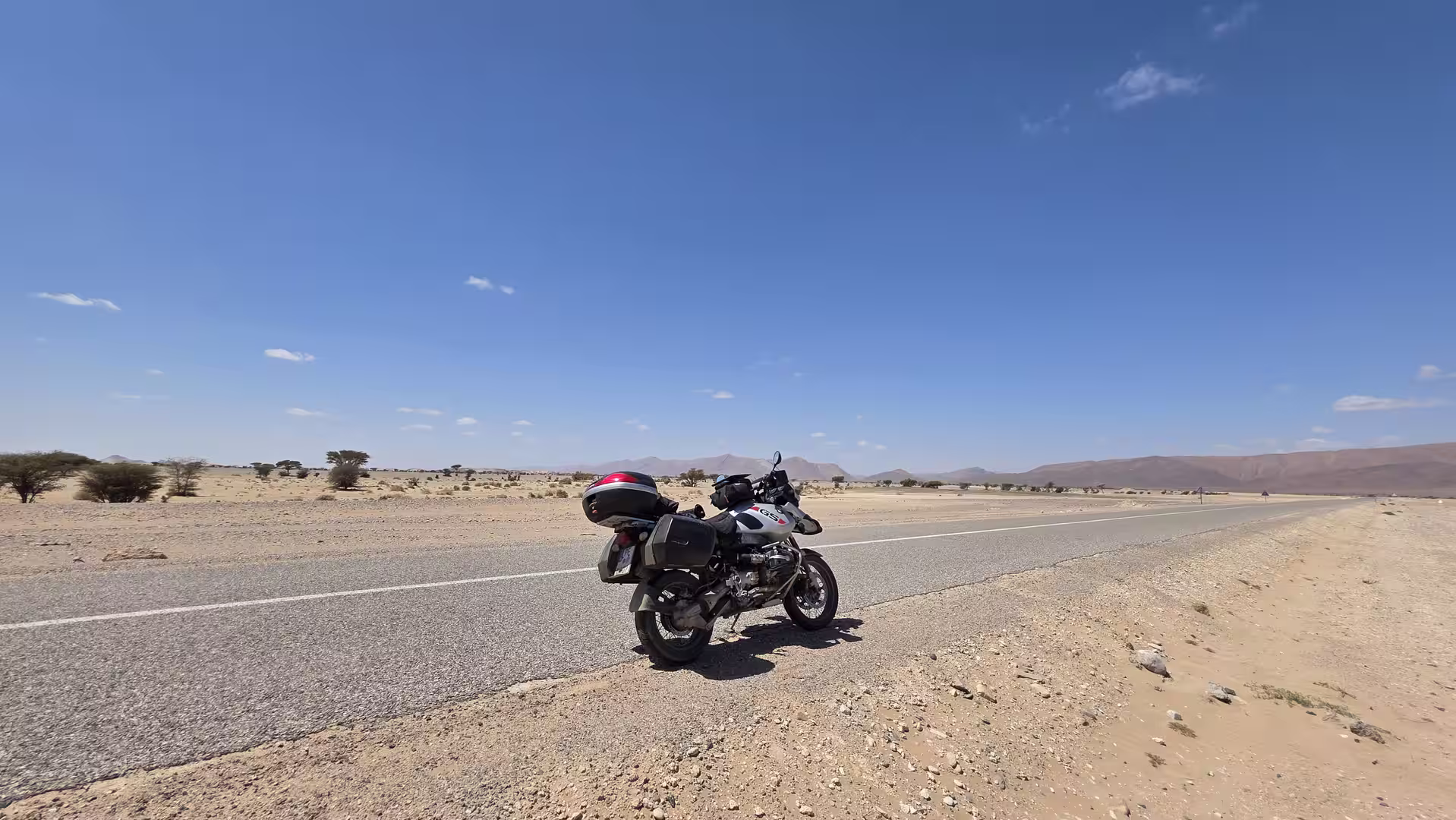
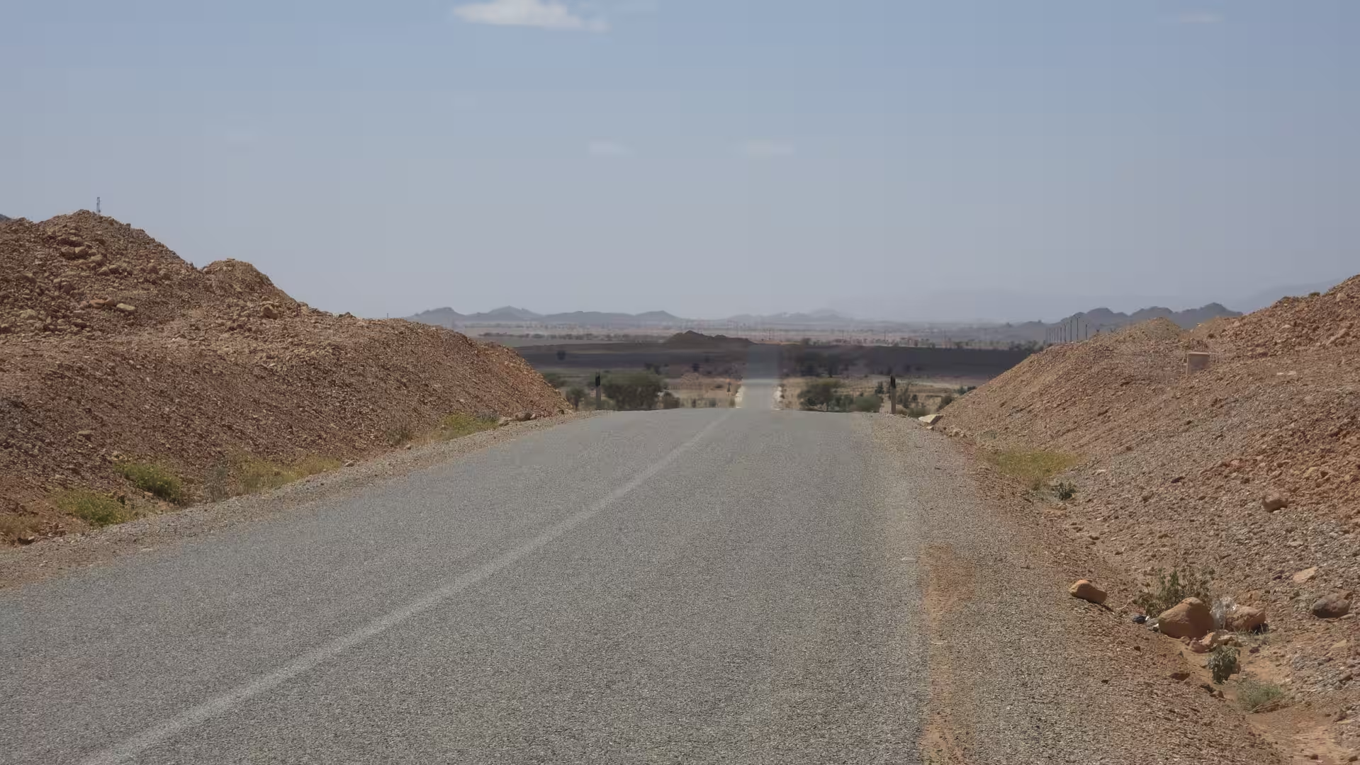
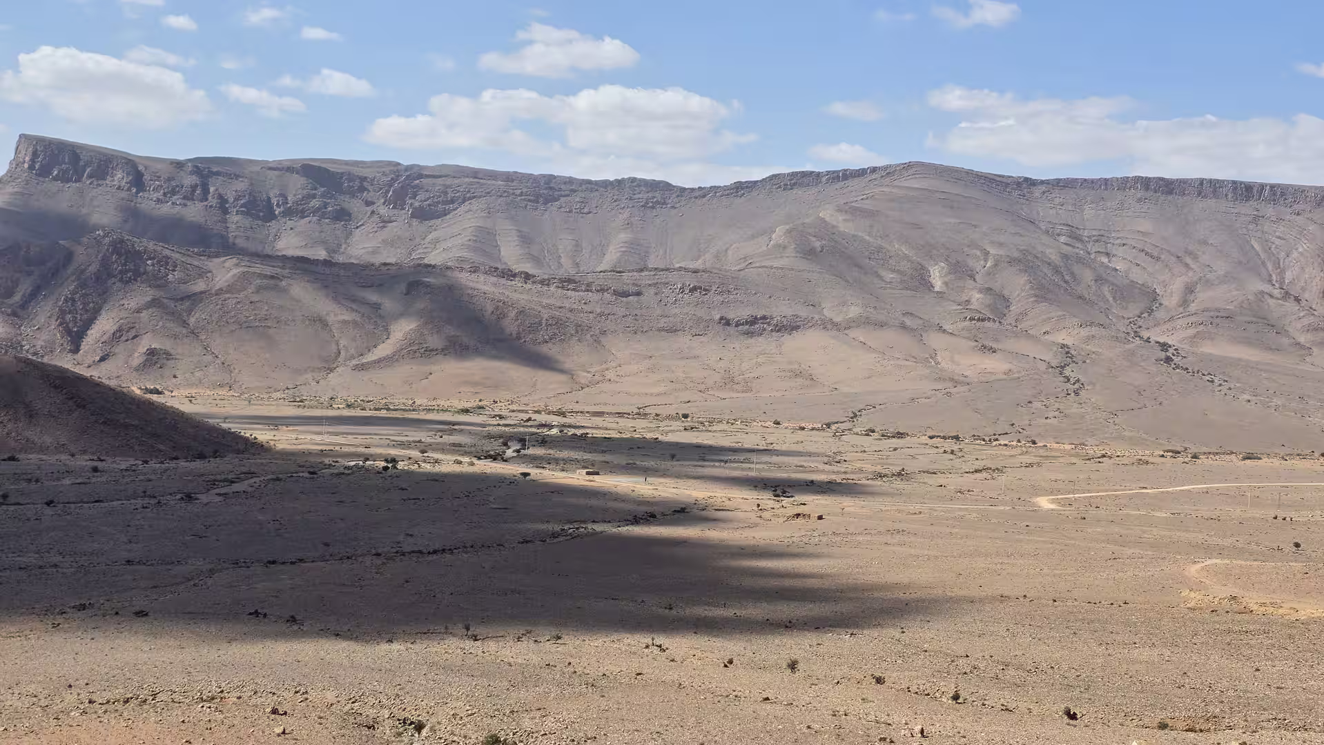
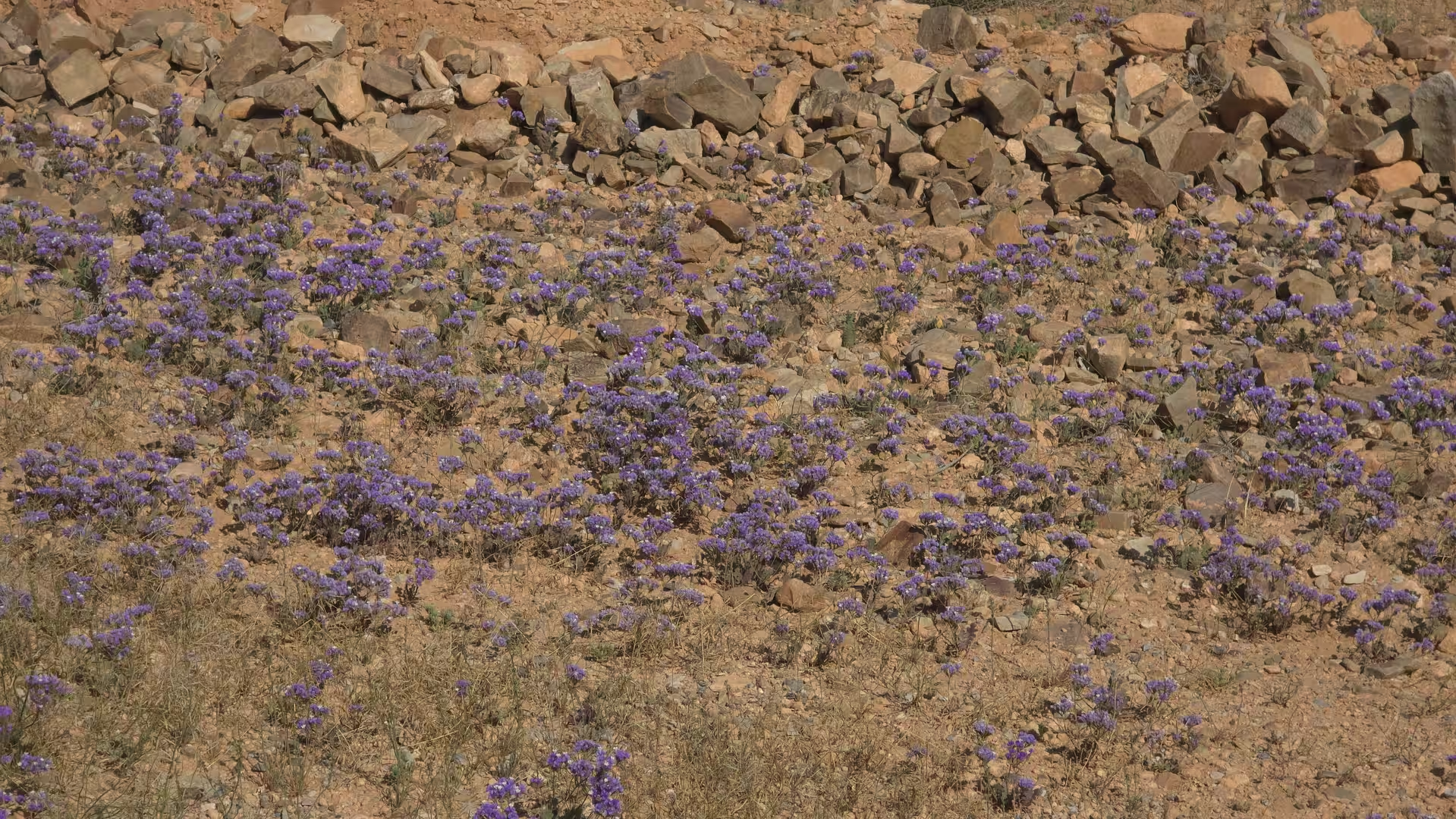
Leaving Foum Zguid, the route continued westward. The road entered one of the most spacious sections of the day. The landscape became increasingly austere: dry plains, scattered vegetation, distant hills, and long stretches without major settlements. This part of the drive showed southern Morocco in a very direct way. The land was open, harsh, and beautiful in its simplicity.
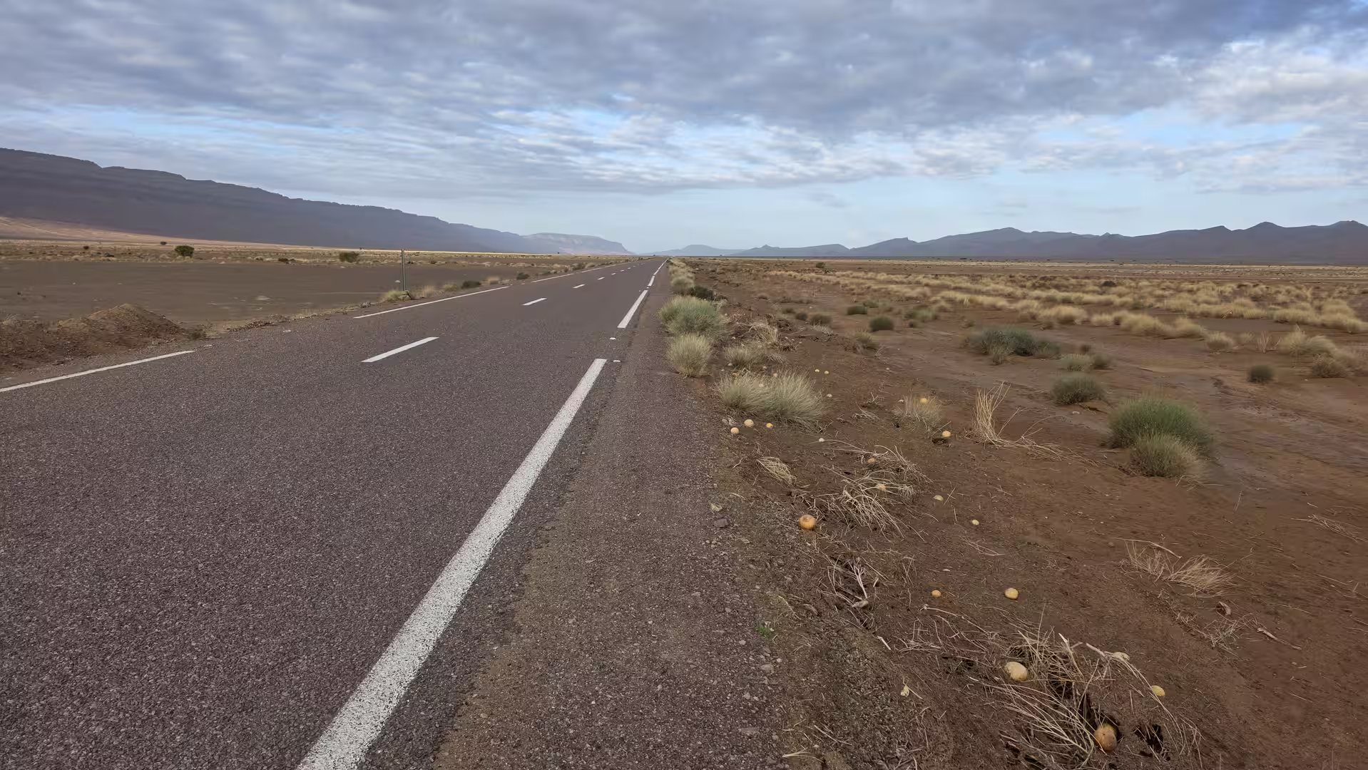
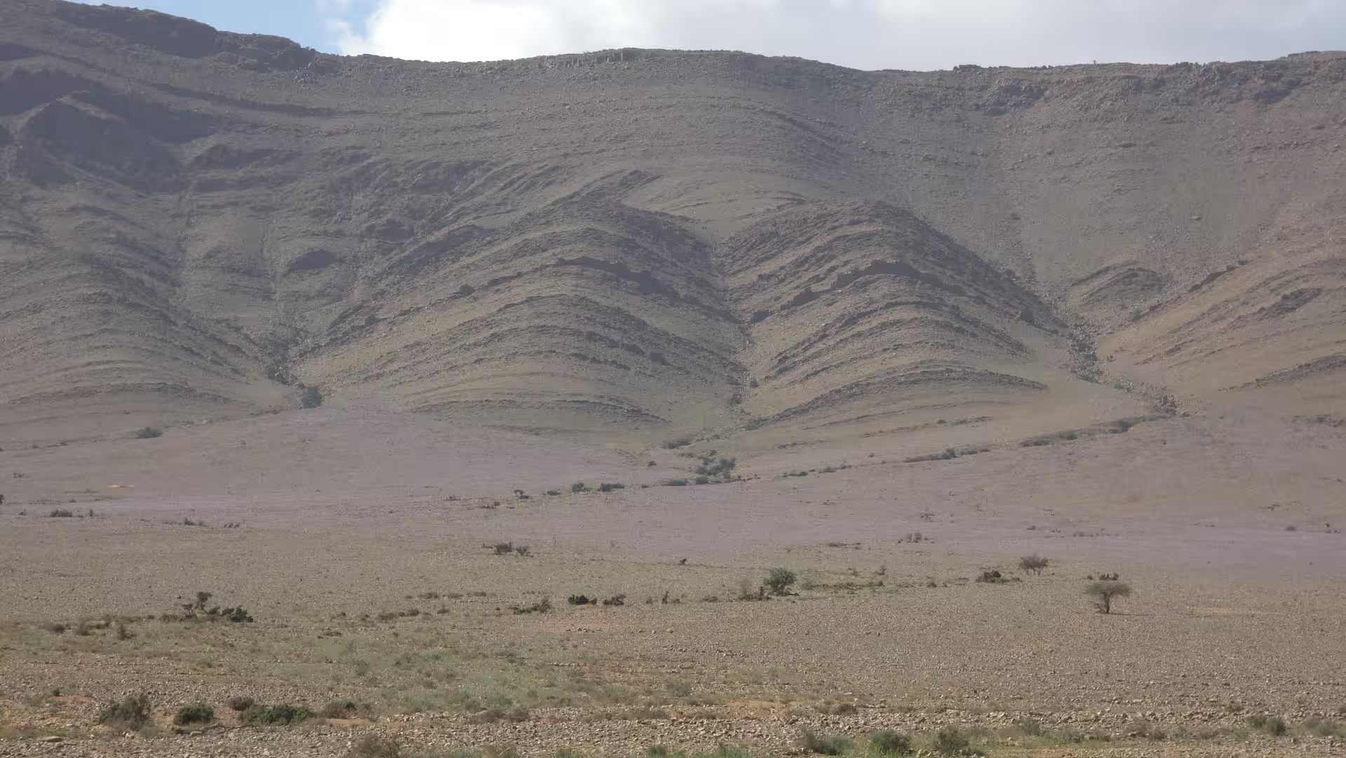
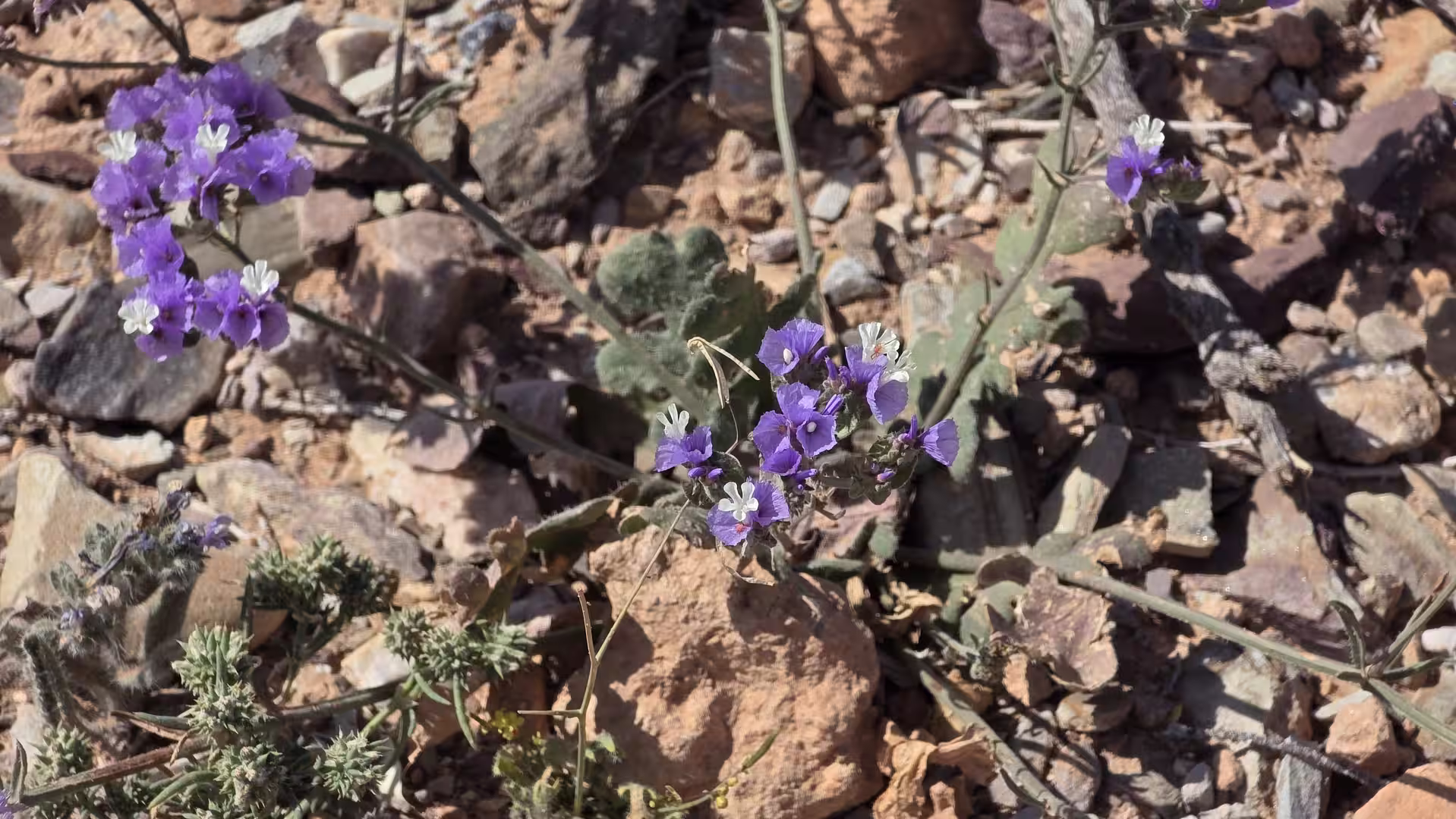
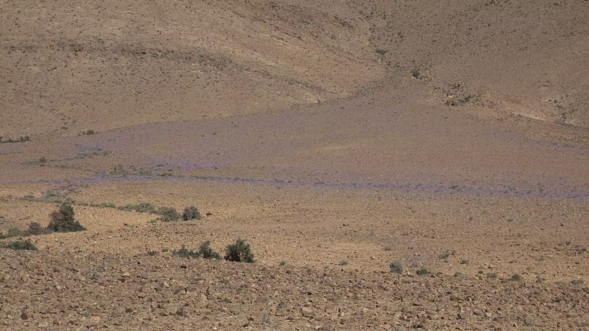
The road did not offer the dramatic vertical scenery of the High Atlas or the dense historic texture of Morocco’s cities. Instead, it offered scale. The horizon seemed to move slowly, the colors changed subtly, and the road itself became the main line of orientation. This type of landscape can appear empty at first, but with time it becomes deeply atmospheric. Every ridge, dry riverbed, and distant settlement becomes more noticeable because there is so much space around it.
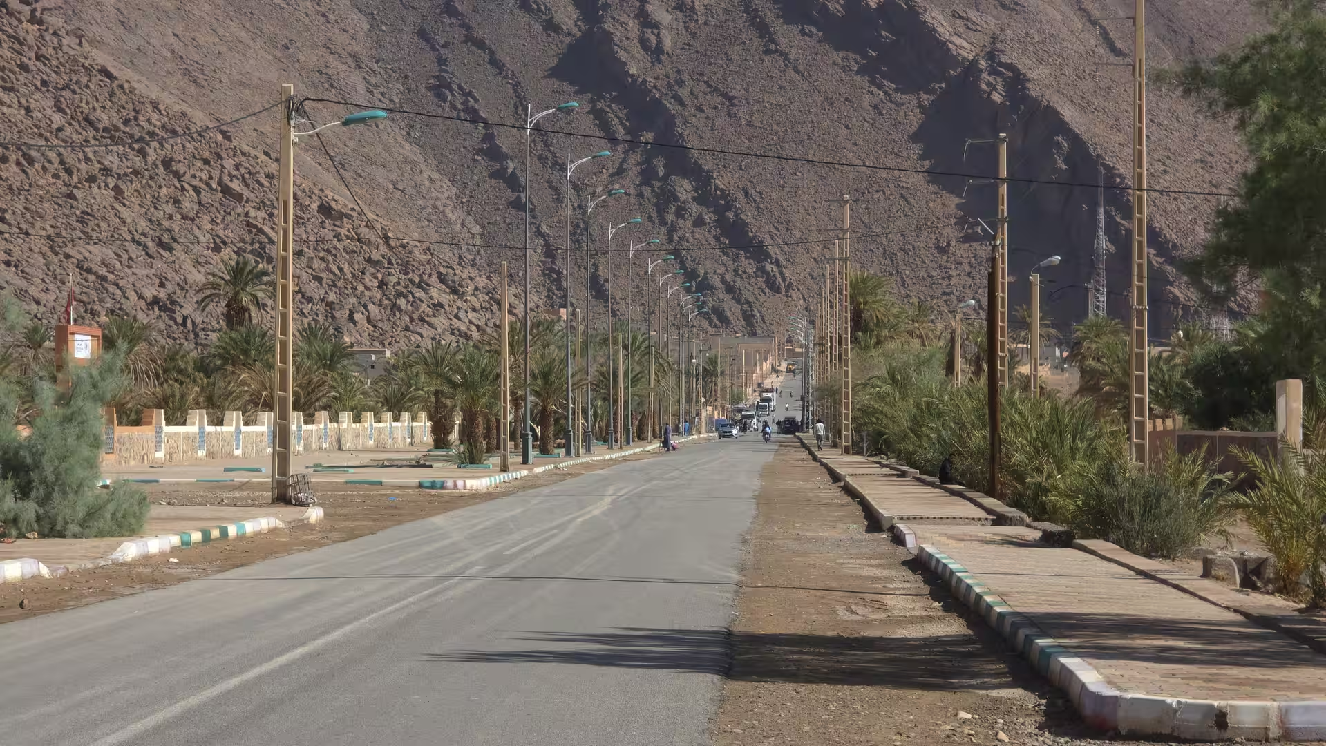
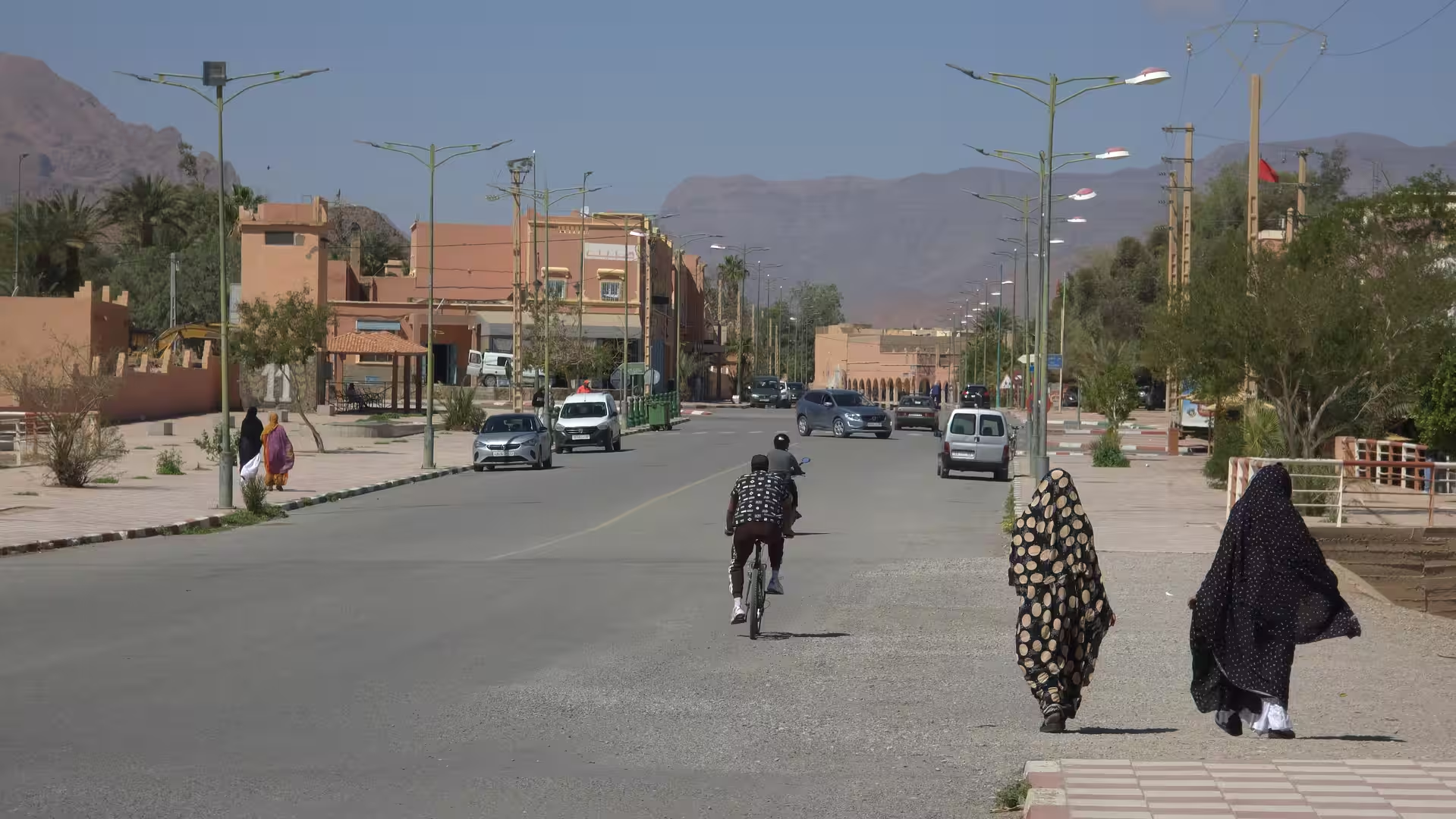
As the route continued, it approached the Tata region. This was one of the important transitions of the day. Tata lies in southern Morocco between desert plateaus, oasis landscapes, and the Anti-Atlas environment. It forms a natural point on the long road between the Draa region and the southwest. The track showed a longer stop around the wider Tata area late in the morning, which again divided the journey into clear stages.
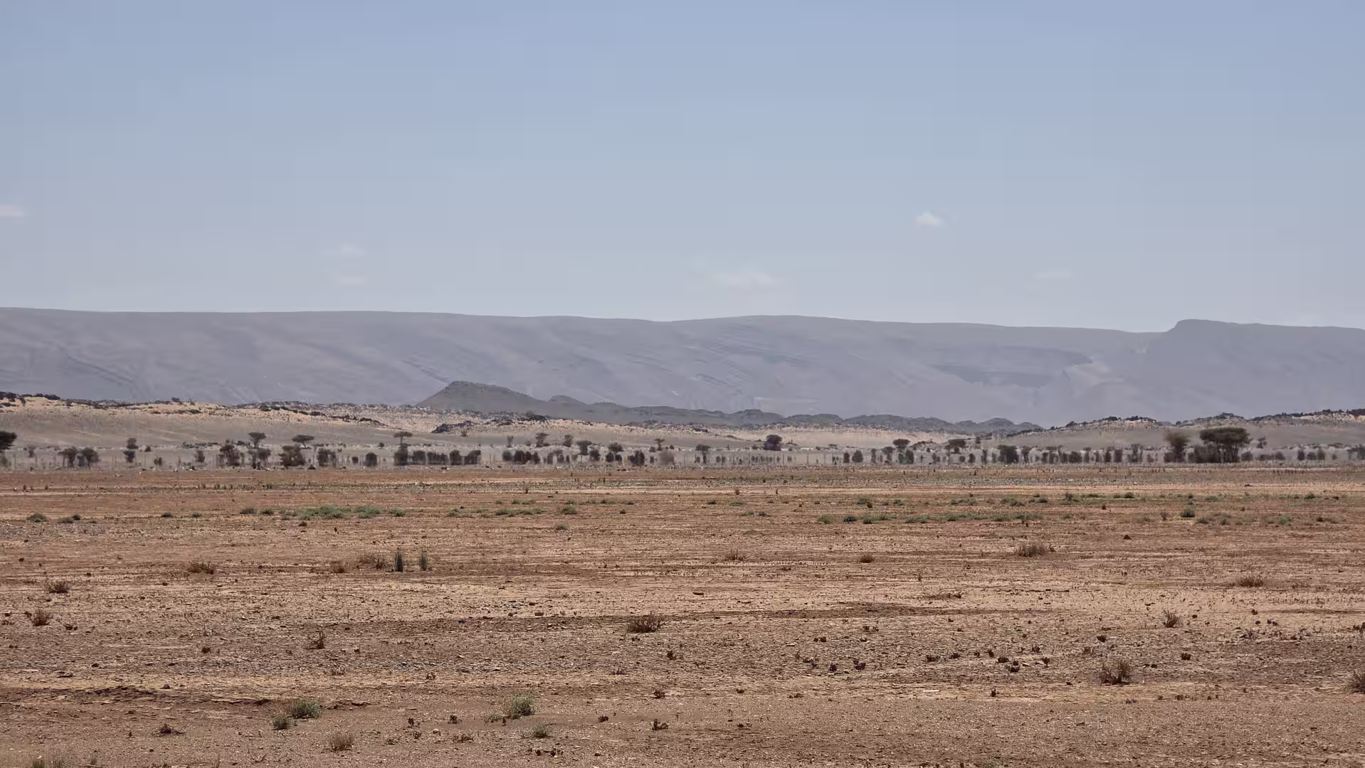
The road toward Tata carried a more varied character than the open stretches after Foum Zguid. The terrain included dry valleys, low mountains, and scattered settlements. The elevation changed gradually, but the overall impression remained one of arid interior travel. The landscape was not monotonous. It changed slowly, in broad layers, from high desert road to valley sections, from stony plains to oasis-influenced areas.
Tata itself felt like another anchor in the journey. In this part of Morocco, towns like Tata are important not because they are large, but because they interrupt the long silence of the road. They provide structure, services, and a sense of human presence in a vast environment. After the long drive from Zagora and Foum Zguid, reaching the Tata region gave the route another strong point of orientation.
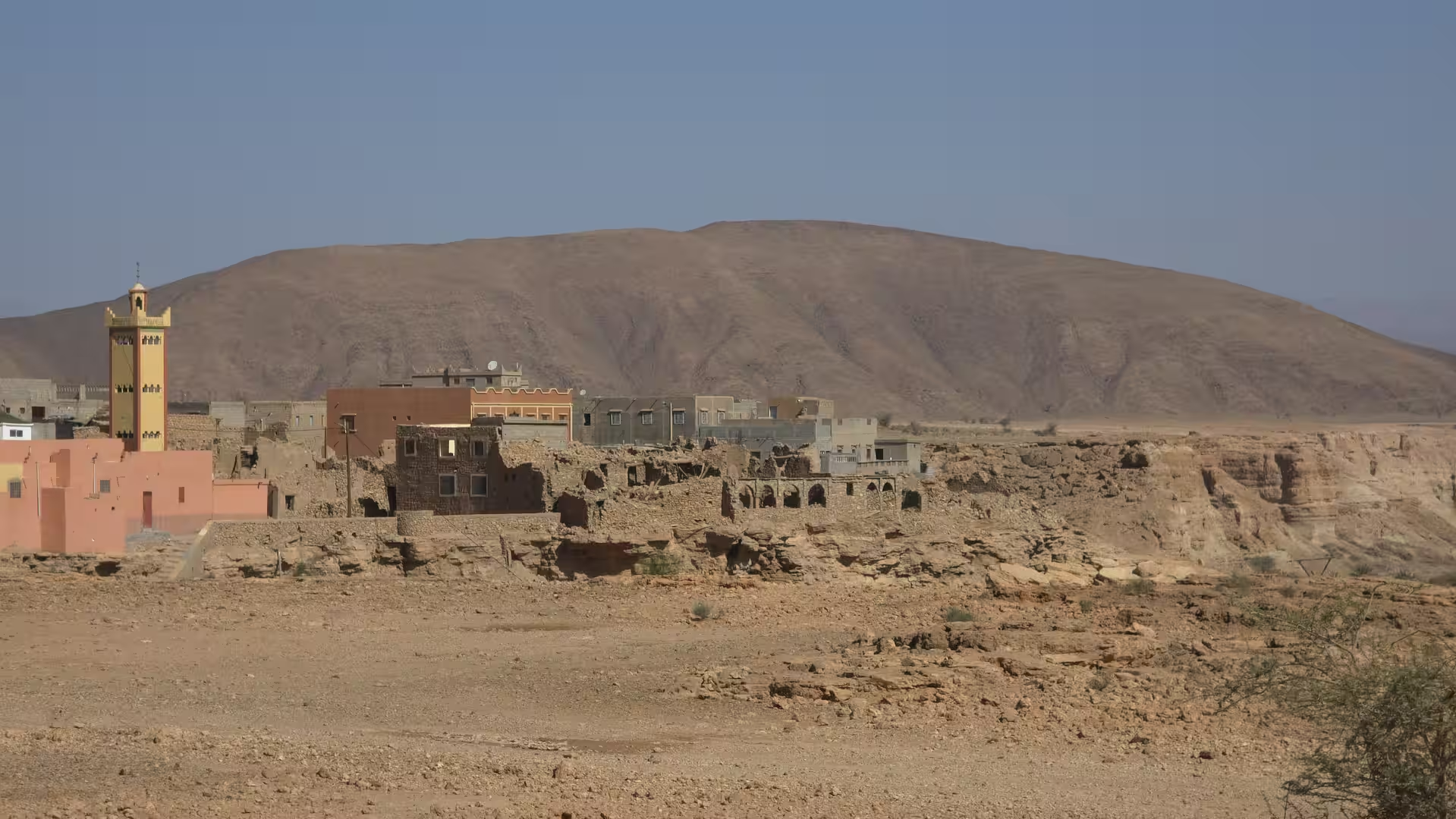
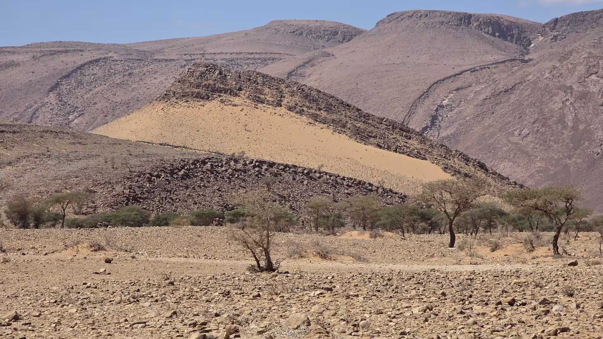
After Tata, the road continued farther west and southwest toward Akka. The journey now moved deeper along the southern side of the Anti-Atlas region. The landscape remained dry, but the character shifted again. The route passed through areas where desert plains, low mountains, and oasis settlements appear in close relationship. The road became a sequence of open sections and small inhabited places, each separated by long stretches of dry land.
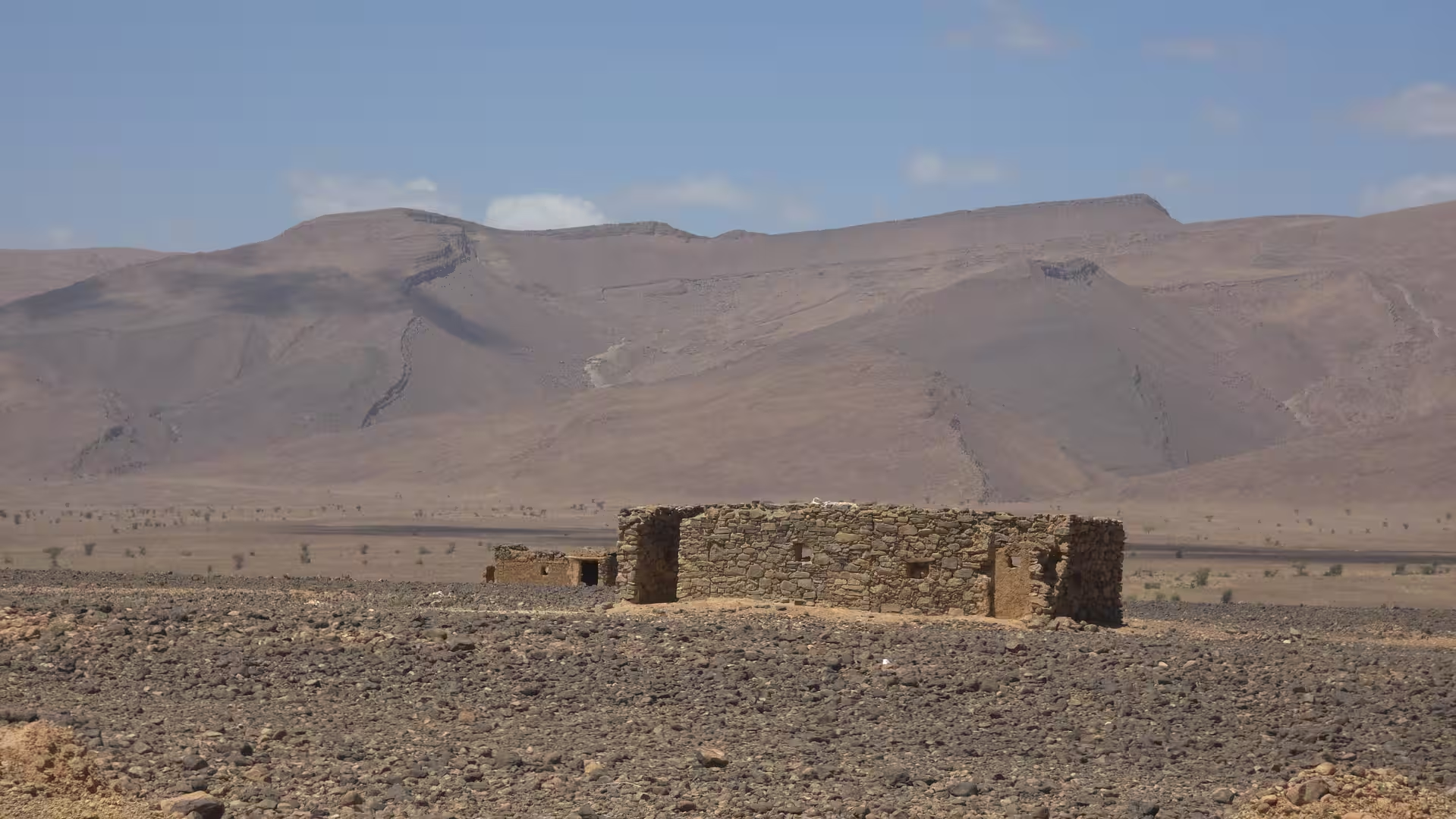
The approach toward Akka had a quieter and more remote feeling. The road crossed a landscape of low ridges and wide valleys, with occasional settlements appearing as practical islands in the desert. The GPS track showed another stop in this part of the day, marking Akka or its surroundings as another pause point on the route. This was the middle part of the journey, and by now the day had clearly become a full desert-road crossing.
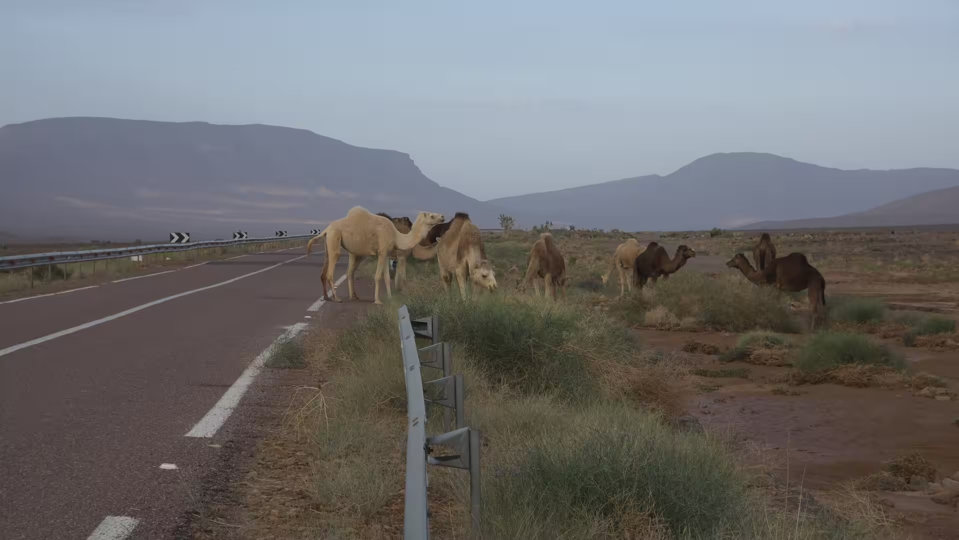
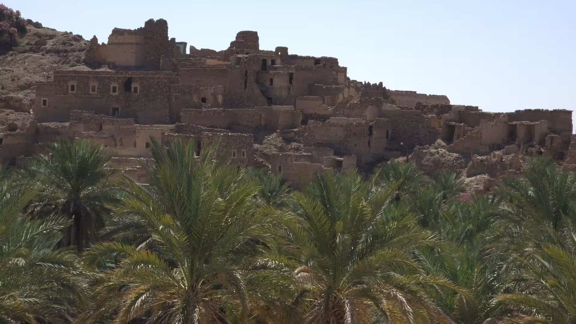
Akka is one of those places that gives southern Morocco its particular travel atmosphere. It is not only a point on the map, but part of a wider network of oasis towns and desert routes. Passing through this area means moving through a region where life has adapted to dryness, distance, and the presence of water in limited places. The contrast between dry surrounding land and settlement areas is one of the defining visual themes of the day.
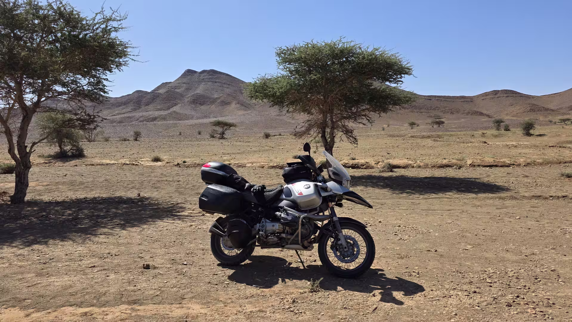
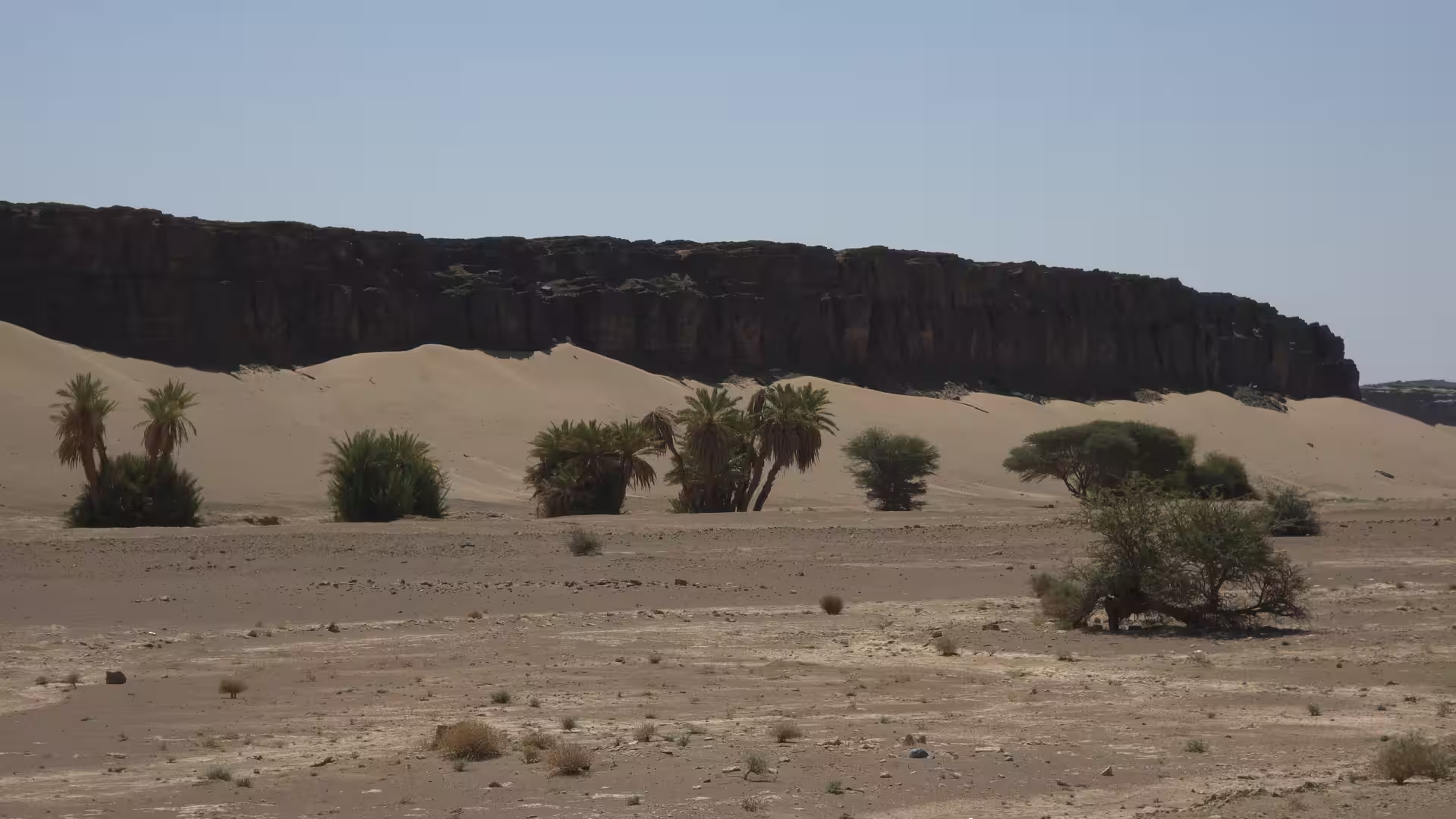
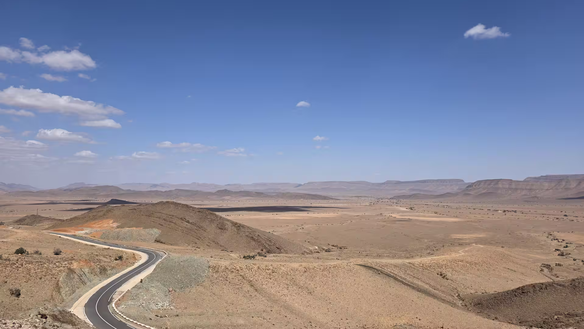
From Akka, the journey continued west. The road moved toward Fam El Hisn and the more open corridor leading eventually toward Assa. This section deepened the feeling of remoteness. The landscape became broad again, with low mountains and stony plains stretching across the view. The road was long and direct in places, but the scenery remained active in a subtle way. The shapes of the hills, the color of the soil, and the changing light gave the drive its character.
By early afternoon, the route had left the more familiar Draa and Tata corridor behind. The journey was now fully committed to the long southwest crossing. The destination was no longer a desert town in the interior, but Guelmim, the gateway to Morocco’s Atlantic southwest. This gave the second half of the day a different sense of direction. The route was still far from the sea, but it was gradually moving toward the Atlantic side of the country.
The road toward Assa became one of the more memorable sections of the afternoon. The track shows a significant stop in the Assa area. This pause came after several hundred kilometers of travel and before the final approach toward Guelmim. Assa lies in a dry and remote part of southern Morocco, and it has the feeling of a town shaped by distance. Arriving there after the long road from Zagora, Foum Zguid, Tata and Akka gave the day another natural chapter.
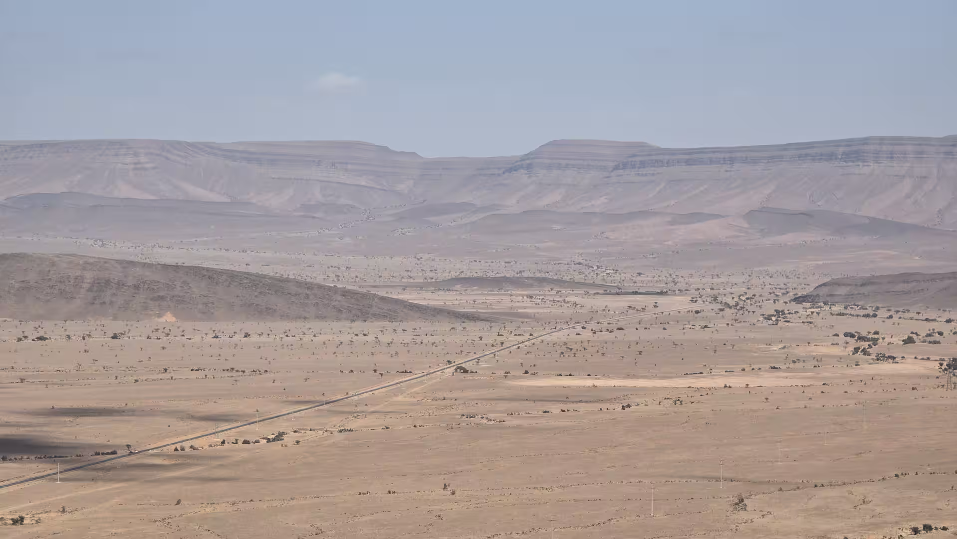
Around Assa, the landscape was lower and warmer than the high desert areas earlier in the route. The elevation had gradually decreased from the higher terrain near the beginning of the day toward lower southwestern Morocco. The surroundings remained dry, but the feeling of the land changed. The road no longer felt like a high plateau crossing. It felt more like a descent through southern Morocco toward the Atlantic-facing plains.
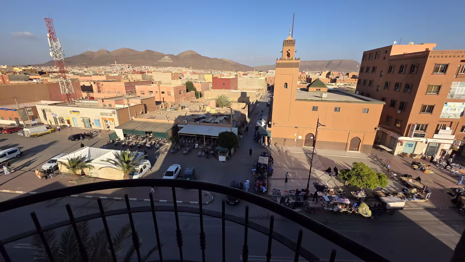
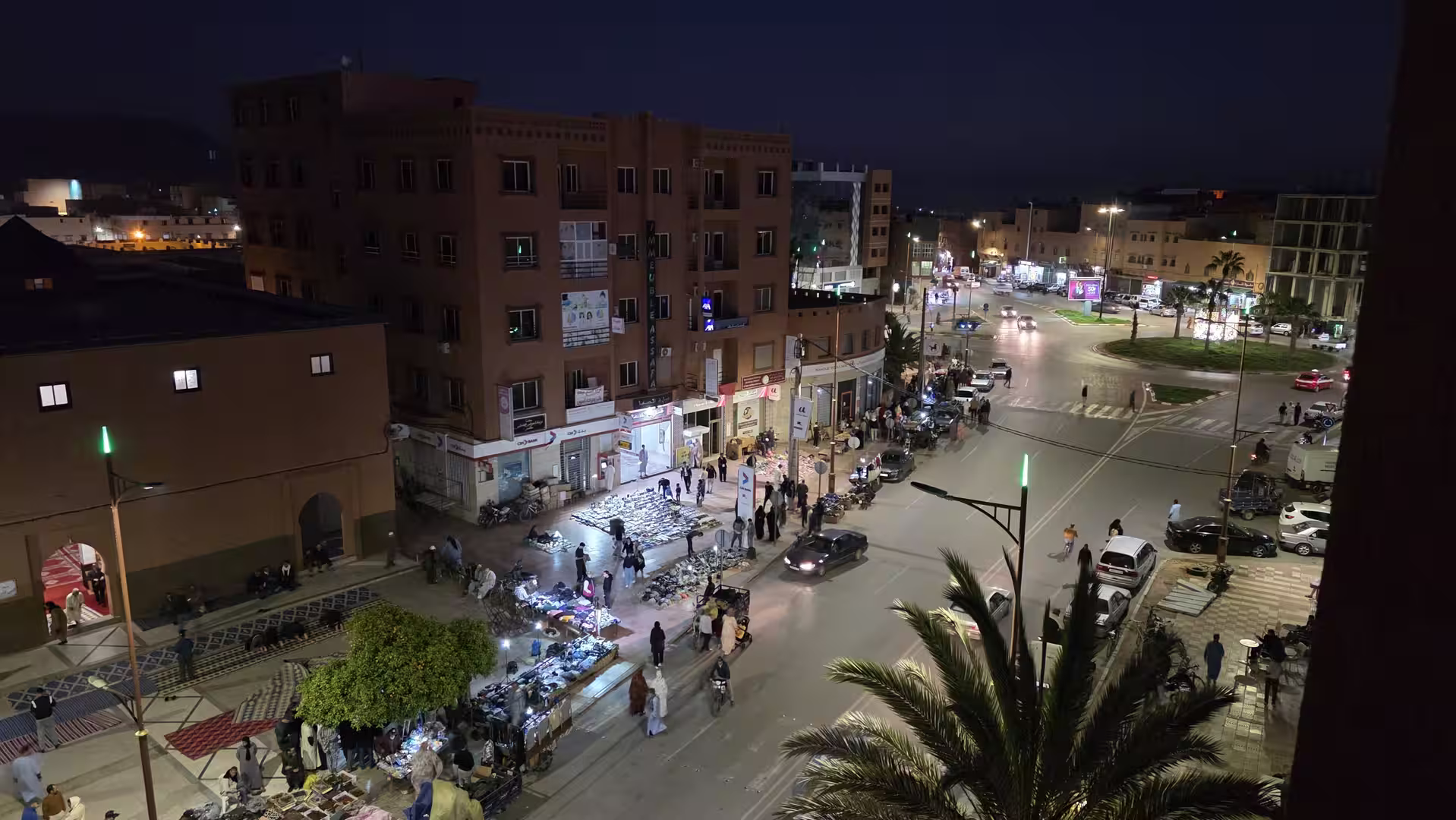
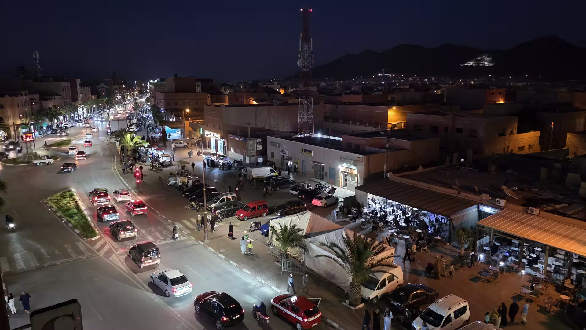
After the stop near Assa, the route continued west and then northwest toward Guelmim. This final section had a different rhythm. The landscape was still open and arid, but the sense of arrival grew stronger. Guelmim is an important city in southern Morocco and often described as a gateway between the desert interior and the Atlantic region. Reaching it after a full day on remote roads gave the journey a clear destination.
The road toward Guelmim passed through wide landscapes with dry hills, open plains, and long views. The scenery became less isolated as the route approached the city, but the feeling of southern Morocco remained strong. The colors were still dry and muted. The sky remained large. The road still carried the memory of the desert corridors crossed earlier in the day.
The final kilometers into Guelmim felt like the conclusion of a long geographic transition. The day had started in Zagora, a town connected with the Draa Valley and the Sahara-facing interior. It ended in Guelmim, a city closer to Morocco’s southwestern and Atlantic world. Between them lay almost 590 kilometers of desert roads, oasis towns, stony plains, low mountains, and remote settlements.
The GPS track ended in Guelmim in the late afternoon, after just over ten hours from start to finish. The moving time was a little over seven hours, with several stops along the route. The journey reached its highest point at just over 900 meters and gradually descended toward the lower elevations around Guelmim. This descent was not abrupt, but it shaped the character of the day. The route moved from the higher dry landscapes of the Draa and Anti-Atlas margin toward the lower southwestern interior.
What made this journey especially memorable was the continuity of the desert-road experience. Unlike some routes where the landscape changes sharply from one region to another, this day unfolded as a long sequence of dry southern Moroccan environments. Zagora, Foum Zguid, Tata, Akka, Assa and Guelmim each provided structure, but the real story was the road between them.
The first part of the day carried the atmosphere of the Draa region. The middle part crossed the remote interior through Foum Zguid and Tata. The later part moved through the dry southwest toward Assa and Guelmim. Each stage had its own character, but all belonged to the same broader world of southern Morocco: open, arid, spacious, and shaped by long distances.
This was not a route for travelers looking for short scenic stops and easy sightseeing. It was a route for those who enjoy the road itself and the feeling of crossing a large landscape. The beauty was not concentrated in a single viewpoint. It was spread across the whole day: in the morning light outside Zagora, the pauses in Foum Zguid, the open road to Tata, the remote stretches toward Akka, the dry country around Assa, and the late-afternoon arrival in Guelmim.
The journey also showed how southern Morocco changes gradually from east to west. The Draa region has its own oasis identity. Foum Zguid feels like a desert-edge crossroads. Tata and Akka belong to a world of dry valleys and Anti-Atlas routes. Assa introduces the vast open country of Morocco’s southwest. Guelmim marks the arrival at a larger urban center and a gateway toward the Atlantic coast, the Souss region, and the deeper south.
For travel photography, the route offers a wide range of subjects: empty roads, desert plains, low mountains, roadside settlements, oasis contrasts, dry valleys, and the changing light of a full day’s drive. For a road trip narrative, it offers something even more valuable: a clear sense of progression. The route does not simply connect Zagora and Guelmim. It connects different versions of southern Morocco.
By the end of the day, the journey had crossed a huge section of the country’s interior. It had moved from the desert atmosphere of Zagora through Foum Zguid, Tata, Akka and Assa to Guelmim. It had followed long roads across dry, exposed, and often remote terrain. It had shown the scale of Morocco outside the main tourist corridors.
This was a demanding route, but also one of the most rewarding kinds of travel day: a full crossing of landscape, not just a transfer between places. The memory of the journey lies in the slow accumulation of impressions: the first dry hills after Zagora, the practical stop in Foum Zguid, the wide empty roads toward Tata, the remote desert towns, the descent toward the southwest, and finally the arrival in Guelmim after a long day on the road.
In the end, the route from Zagora to Guelmim felt like a passage across the southern interior of Morocco. It was a journey through dryness, distance, light, and space. It showed a Morocco where the road matters as much as the destination and where the landscape reveals itself slowly, kilometer after kilometer.