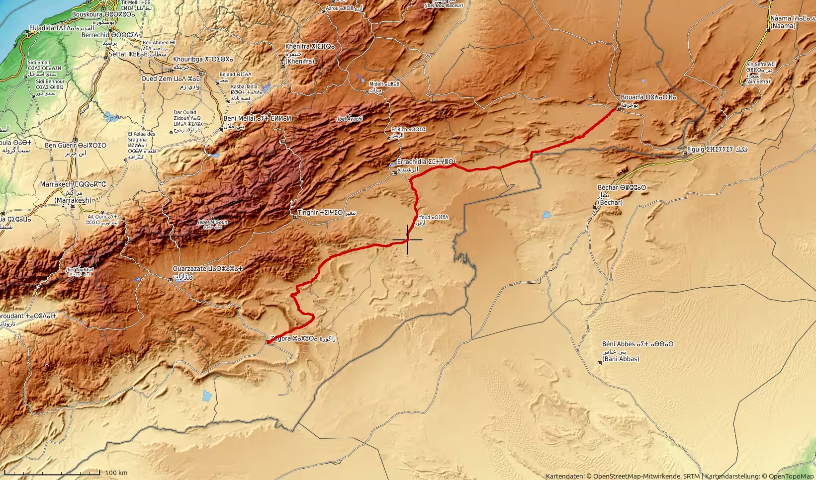
A long inland road journey across Morocco, starting in the high plateau country west of Bouarfa and continuing through Bouanane, the Errachidia and Tafilalt regions, Erfoud, Rissani, Alnif and Tazzarine before reaching Zagora. After the previous day’s flooding and forced return, this route continued the journey through remote eastern and southeastern Morocco. With more than 600 kilometers of driving, high plateaus, oasis corridors, desert towns and pre-Saharan landscapes, it is a demanding but memorable route through Morocco’s interior.
The journey began in the high, dry landscapes west of Bouarfa, in Morocco’s eastern interior. After the previous day’s route had been interrupted by flooding, the road now continued from the same remote region, turning the experience into more than just another driving day. This was not a simple transfer from one city to another. It was the continuation of a larger overland journey across Morocco: from the far northeast, across the high plateaus, through desert towns and oasis landscapes, and finally toward Zagora on the edge of the Draa Valley.
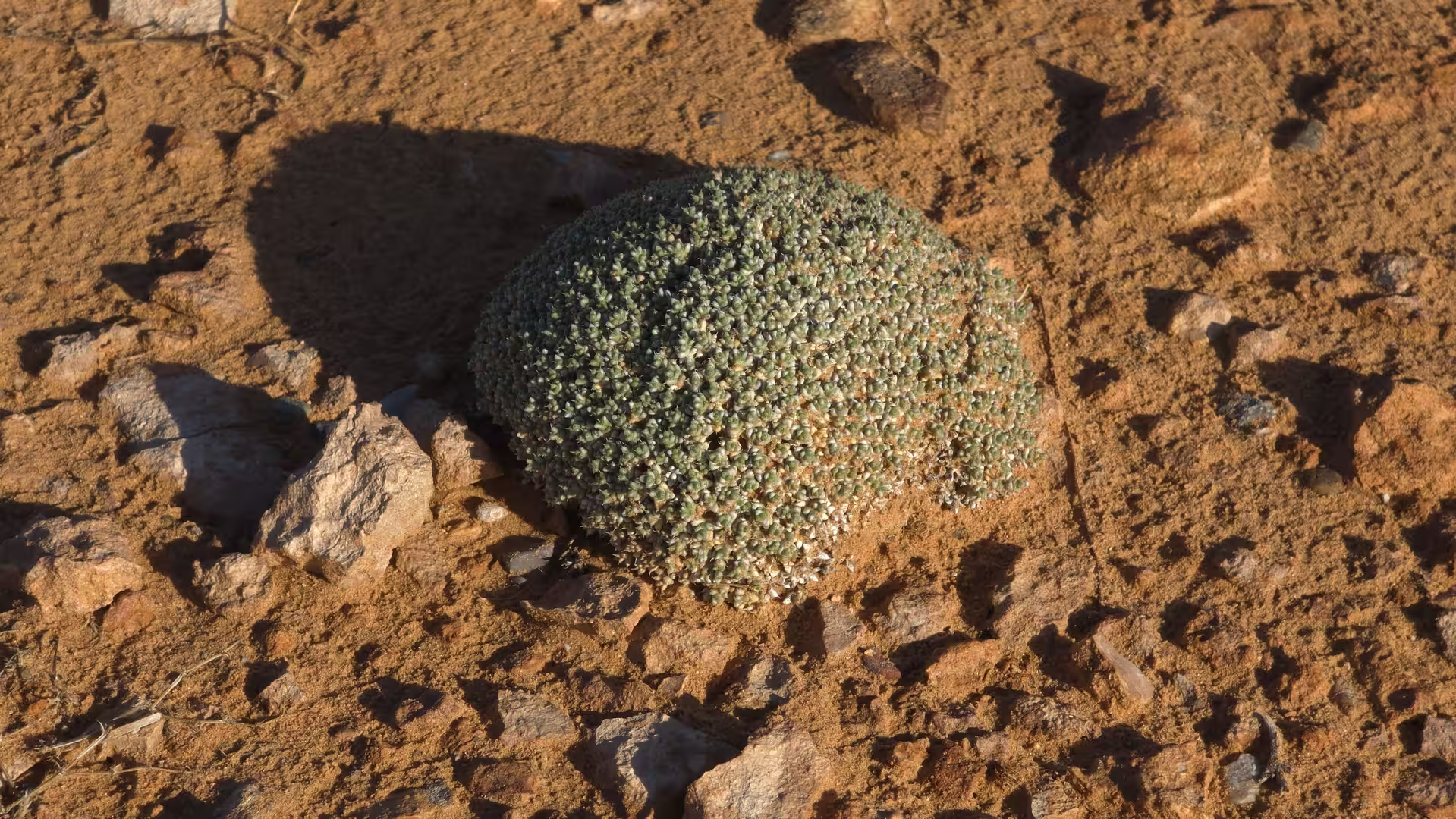
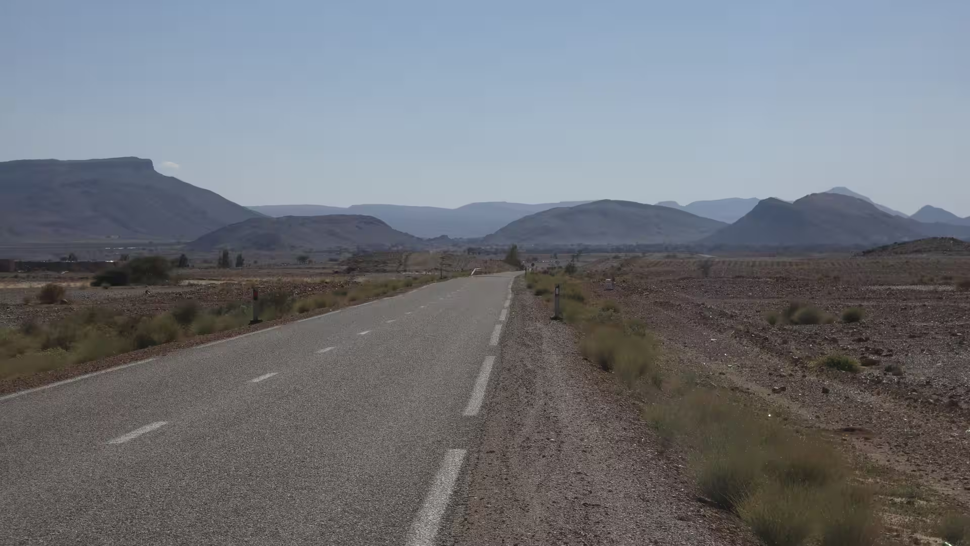
The day started in a landscape that already felt remote. The surroundings were open, dry, and elevated, with the road running across a broad plateau between scattered hills and long horizons. There were no large towns nearby, no coastal scenery, and no dense urban corridor. Instead, the first impression was space. The land stretched wide in all directions, with pale earth, low vegetation, stony ground, and a quiet atmosphere typical of Morocco’s eastern highlands.
At the beginning of the route, the track first moved back toward the Bouarfa side of the plateau. This short return gave the day a slightly unusual structure. It felt like a continuation of the previous day’s interrupted route, as if the journey first had to reorganize itself after the flooded road and the forced return. The road climbed gently across the high country, reaching elevations above 1,000 meters. Bouarfa and its surrounding plateau formed the eastern starting point of the day’s longer crossing.
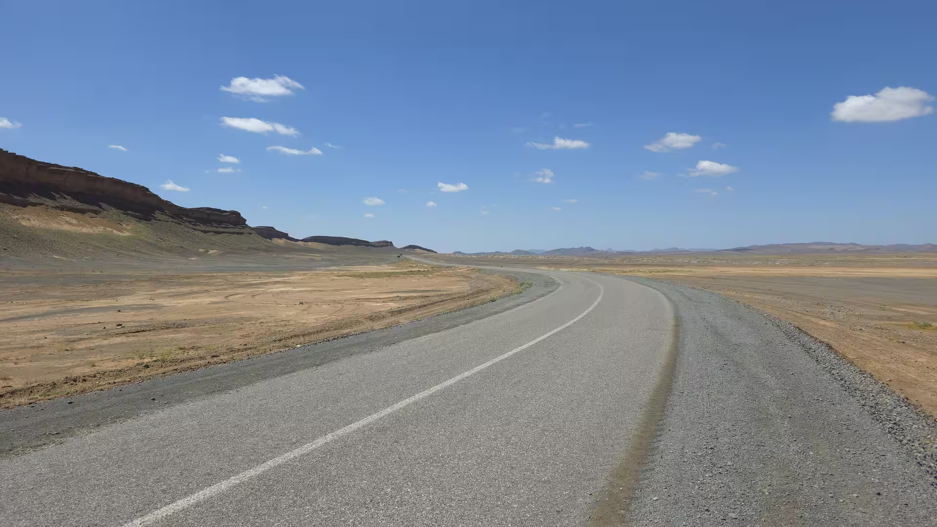
This region has a very different character from northern Morocco’s coast or the Rif Mountains. It is not dramatic in the way a coastal road can be dramatic, with cliffs, sea views, and tight curves. Its power comes from openness and distance. The landscape is sparse, but never empty. It is marked by low hills, wide valleys, dry riverbeds, occasional settlements, and a constant sense of exposure. The road feels like a thin line across a large, quiet country.
After the initial movement near the Bouarfa highlands, the route turned west and southwest toward Bouanane. This section crossed the same kind of remote plateau country that had shaped the previous day’s journey, but now the road continued with a clearer direction. The settlement of Bouanane became one of the first important orientation points. In this part of Morocco, towns are not merely stops along the way. They are anchors in a wide landscape. Between them, the road can run for long distances through open, dry terrain with few interruptions.
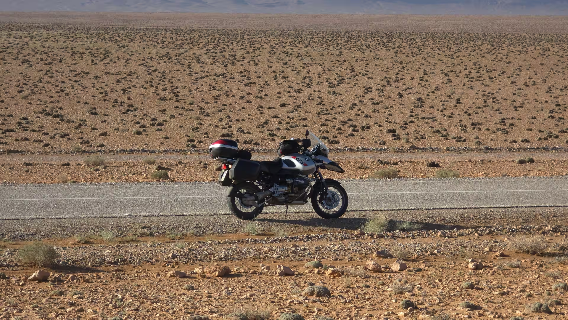
The road toward Bouanane carried a strong overland feeling. It was a route defined by geography rather than by tourism. The landscape was austere, with subdued colors and a broad horizon. The road moved through high, semi-arid country where the elevation remained significant and the scenery changed slowly. There were no sudden scenic highlights in the conventional sense. Instead, the experience came from the gradual unfolding of distance: a curve, a ridge, a dry valley, another stretch of empty road, another low settlement appearing far ahead.
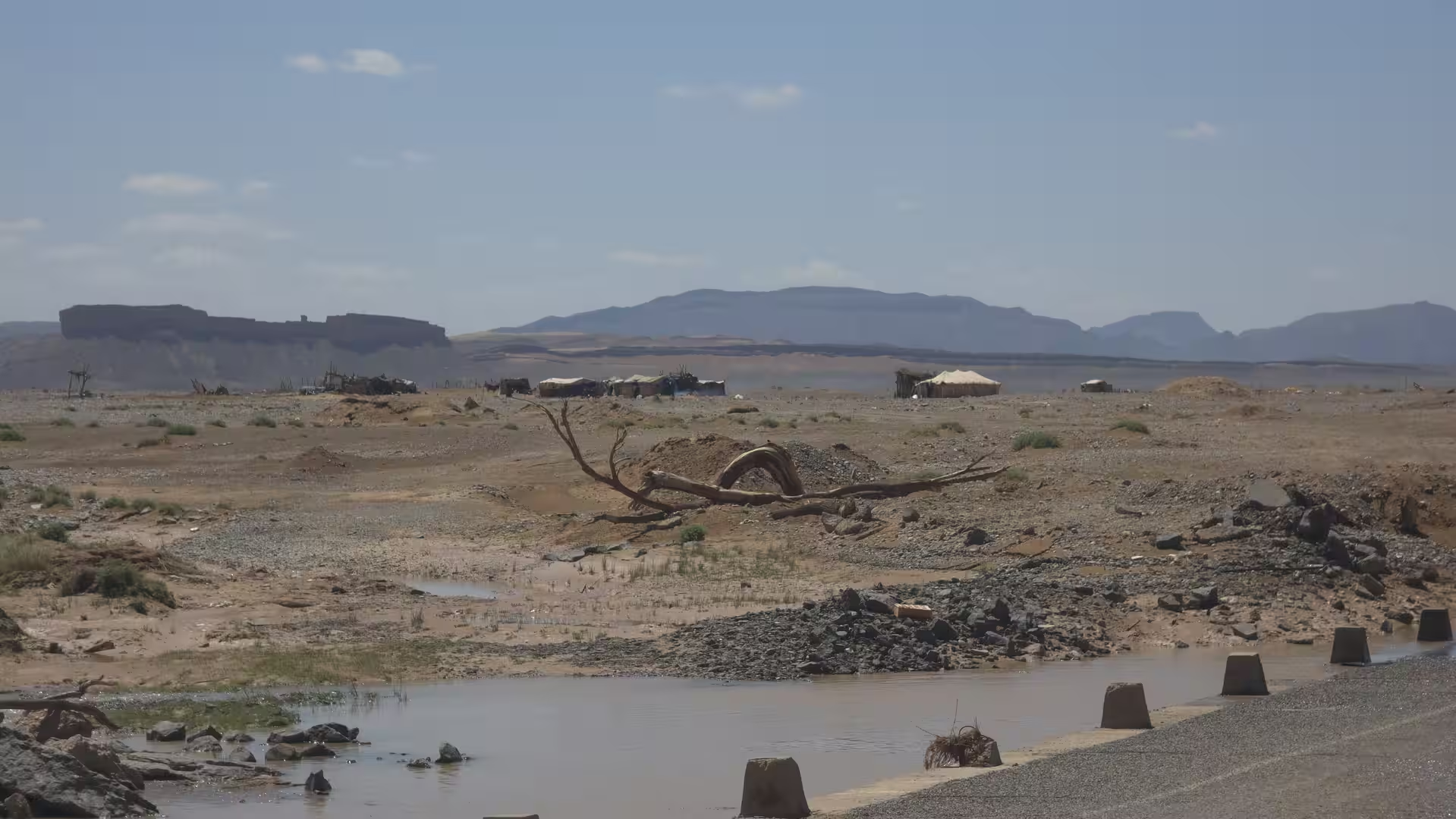
A short stop along this section gave the journey its first pause. After the previous day’s flooding, the road conditions and the surroundings naturally carried a sense of caution. In remote eastern Morocco, weather and water can change plans quickly, even in landscapes that look completely dry. The memory of the flooded road made the open country feel less predictable. The route now continued, but with the awareness that the landscape itself sets the rules.
Beyond Bouanane, the journey continued westward into the wider interior. The route passed through dry plateau landscapes and then gradually approached the corridor leading toward Boudnib and the Errachidia region. This part of the drive began to soften the severe feeling of the eastern highlands. The road still crossed remote country, but the route increasingly pointed toward areas where desert, oasis systems, and major south Moroccan routes meet.
The landscape changed subtly at first. The plateau remained dry and open, but the road began to descend in stages. The elevation dropped from the higher country near Bouarfa and Bouanane toward lower interior valleys. This descent changed the atmosphere of the journey. The road became less like a high plateau crossing and more like an approach toward Morocco’s pre-Saharan interior.
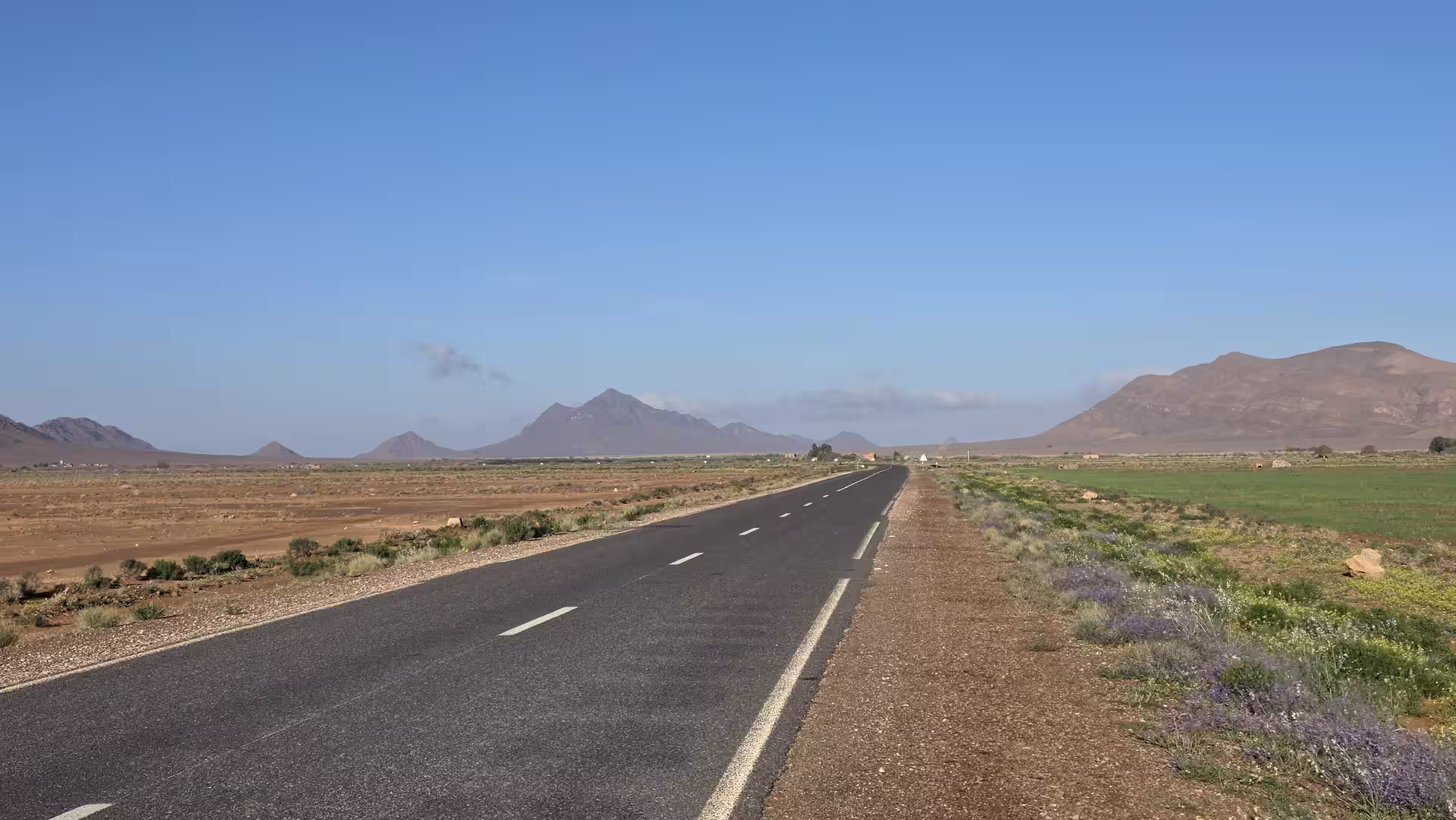
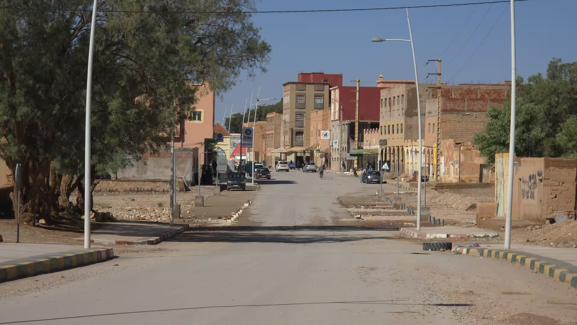
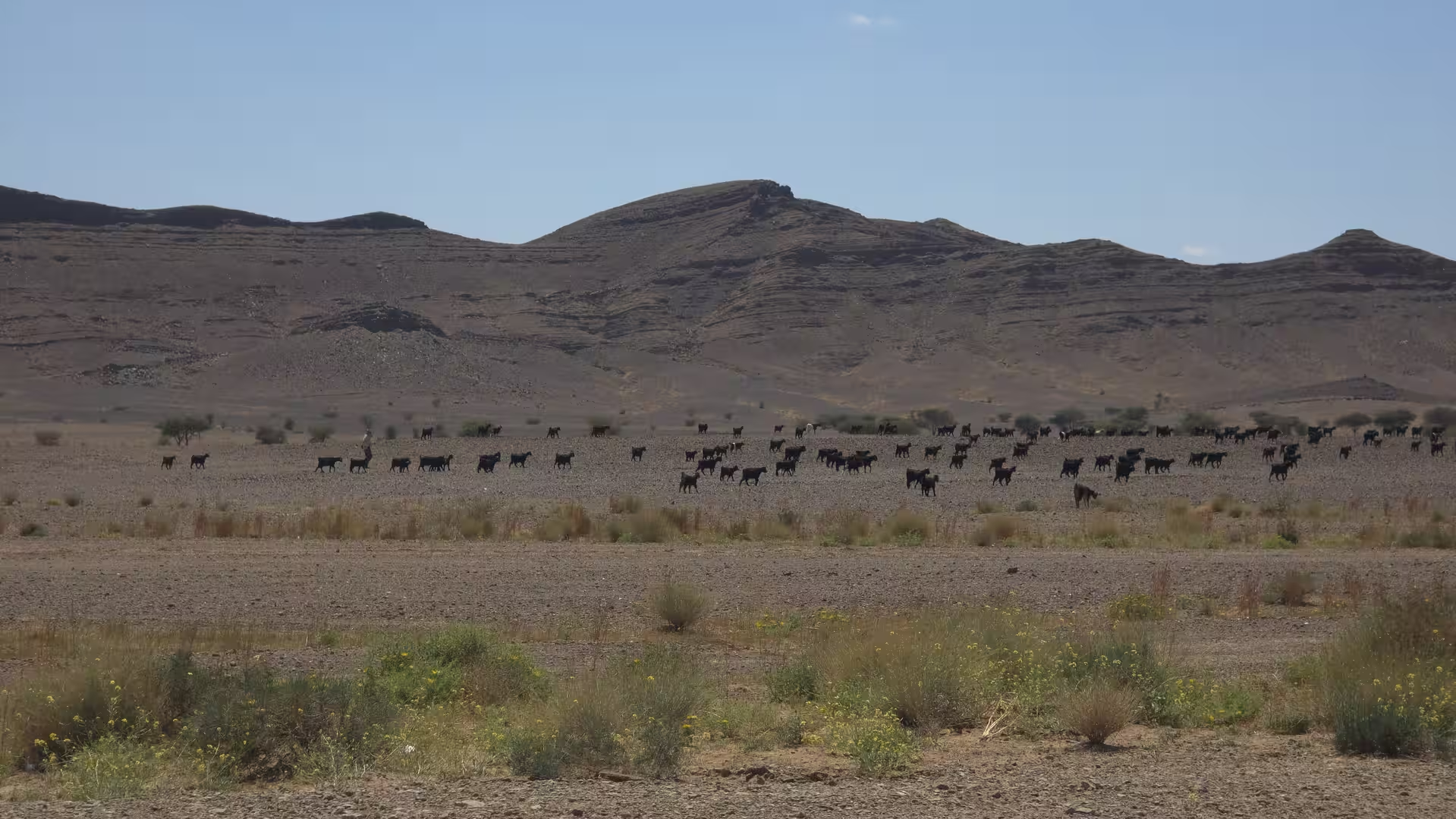
As the route moved farther west, the scenery became more varied. The dry land remained dominant, but there were more signs of valleys, settlements, cultivated areas, and routes connecting the eastern interior with the Tafilalt region. The road passed through a part of Morocco where travel feels historical as well as geographic. These are not just empty roads. They belong to long corridors of movement between the highlands, the desert margins, and the oasis towns of southeastern Morocco.
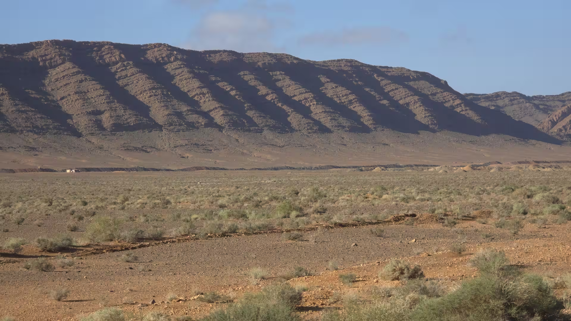
By late morning, the route approached the wider Errachidia area. This marked an important shift in the day. After hours of high, exposed plateau roads, the journey entered a region more closely connected with valleys, palm groves, and the gateway to the Sahara-facing southeast. The surroundings became less monotonous and more layered. There were dry hills, river valleys, scattered settlements, and the sense of entering a more inhabited desert-edge region.
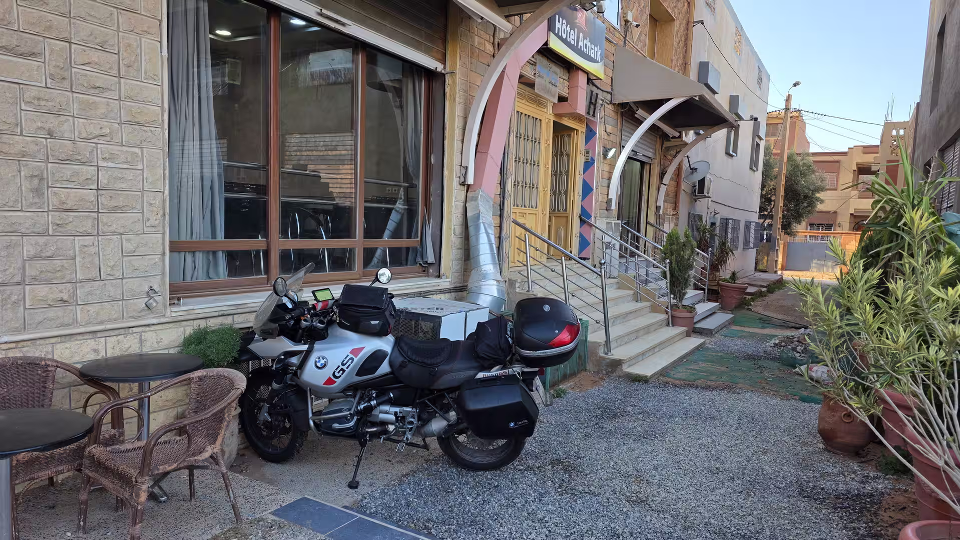
A longer stop occurred around this part of the day. It came at a natural moment in the route: after the eastern highlands and before the long continuation southward. This pause divided the day into two large chapters. The first was the crossing from the Bouarfa/Bouanane highlands toward the Errachidia region. The second would be the descent toward the Tafilalt oases, the desert towns farther south, and finally Zagora.
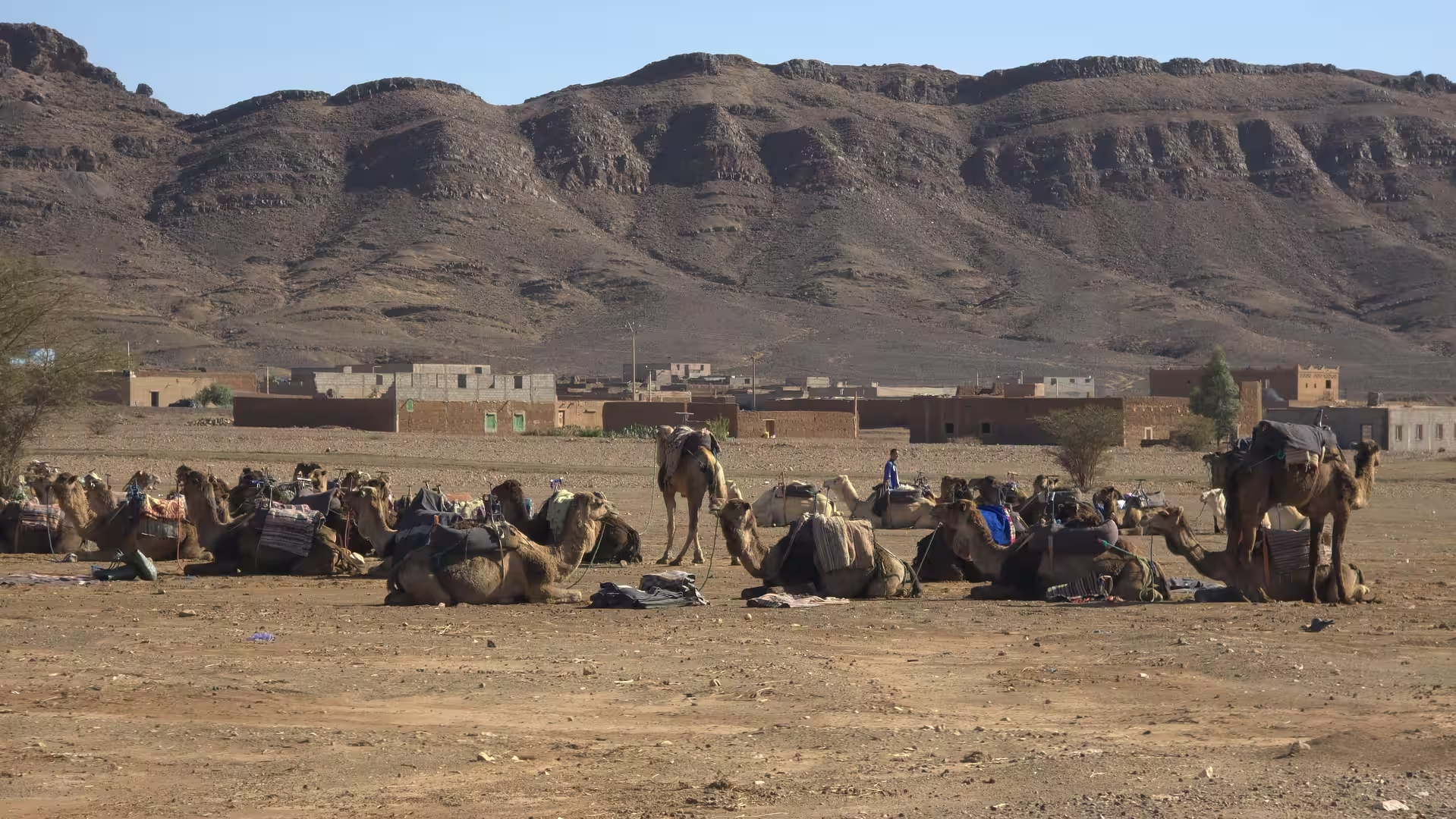
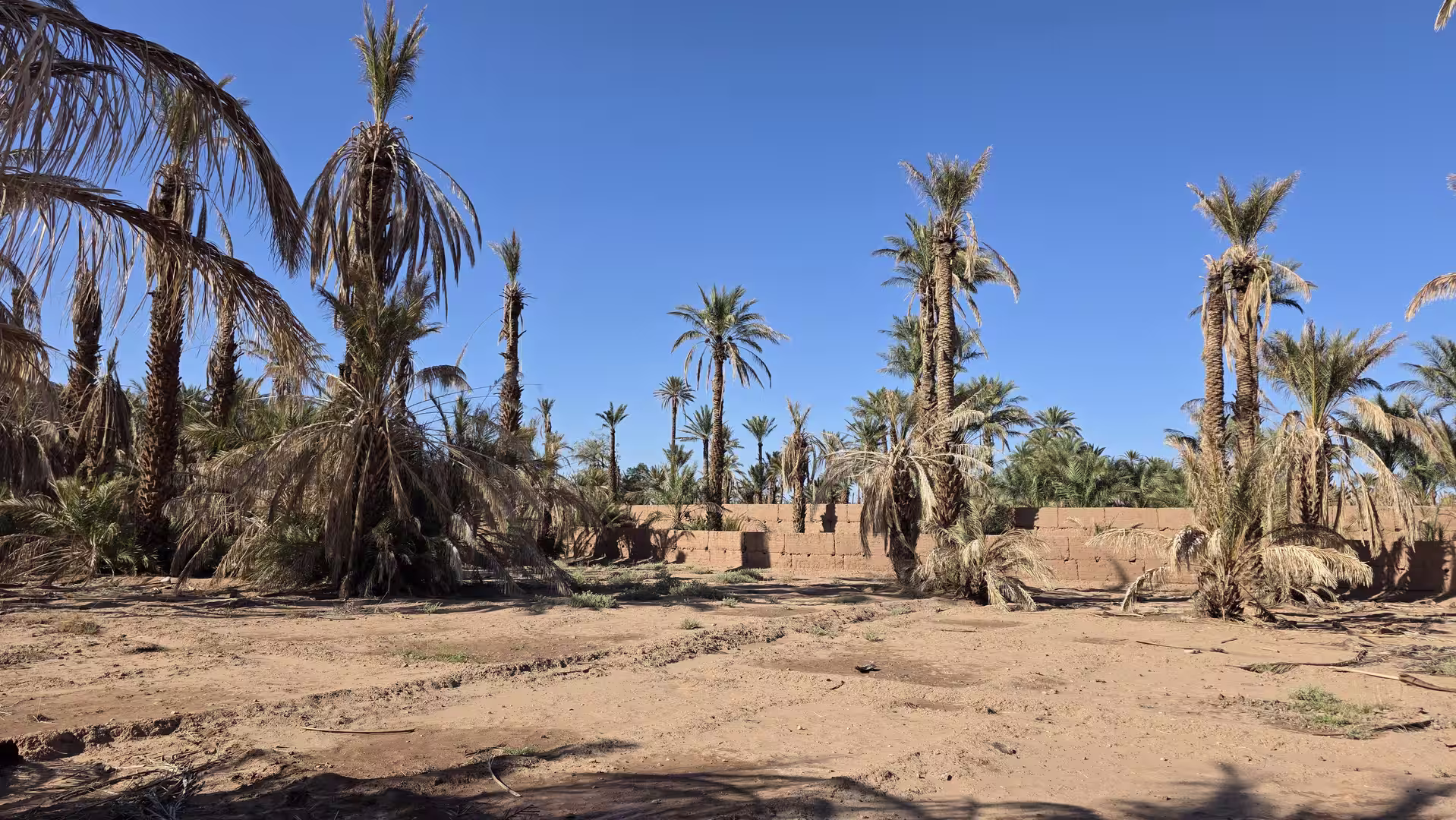
After the break, the route continued southward. The road moved toward the Tafilalt region, one of Morocco’s most important oasis areas. This part of the journey felt distinctly different from the earlier plateau crossing. The scenery began to include more visible signs of life and settlement. Dry mountains and stony landscapes remained present, but they were now joined by palm groves, cultivated pockets, and towns that belong to the desert-edge geography of southeastern Morocco.
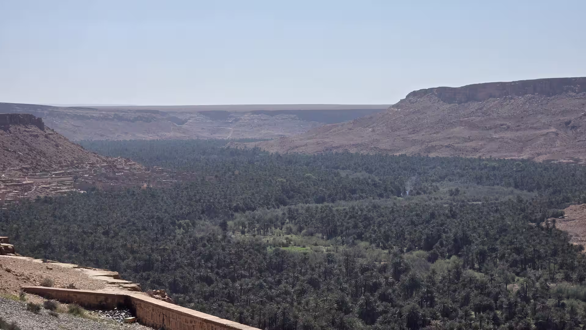
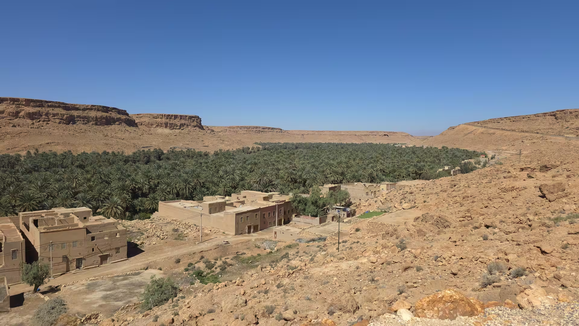
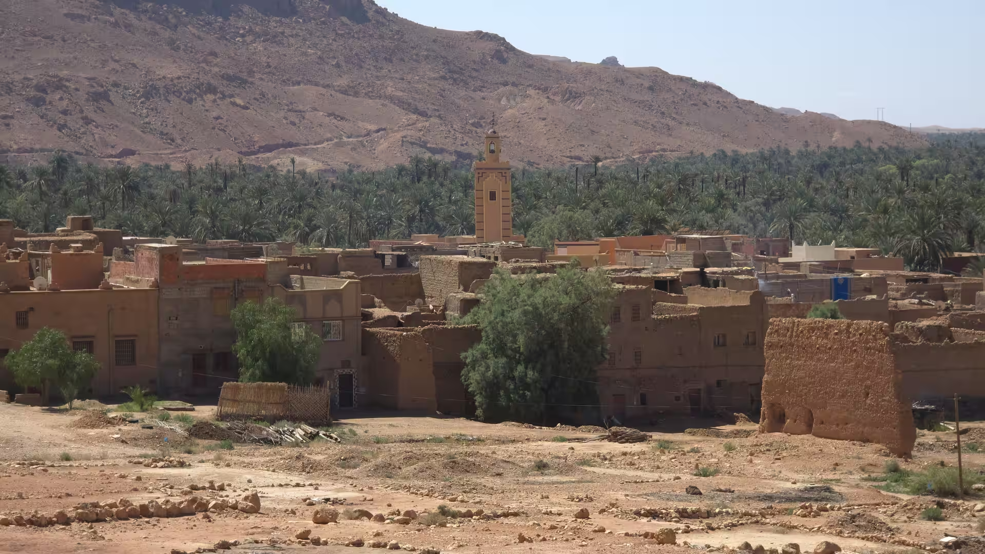
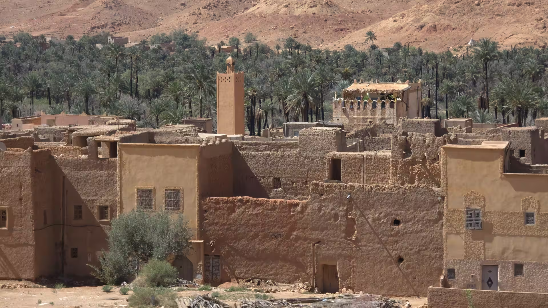

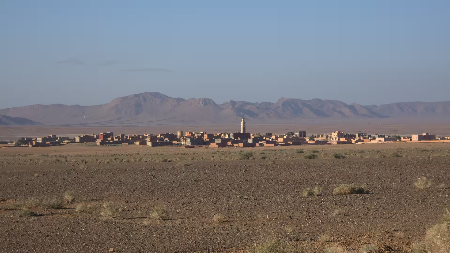
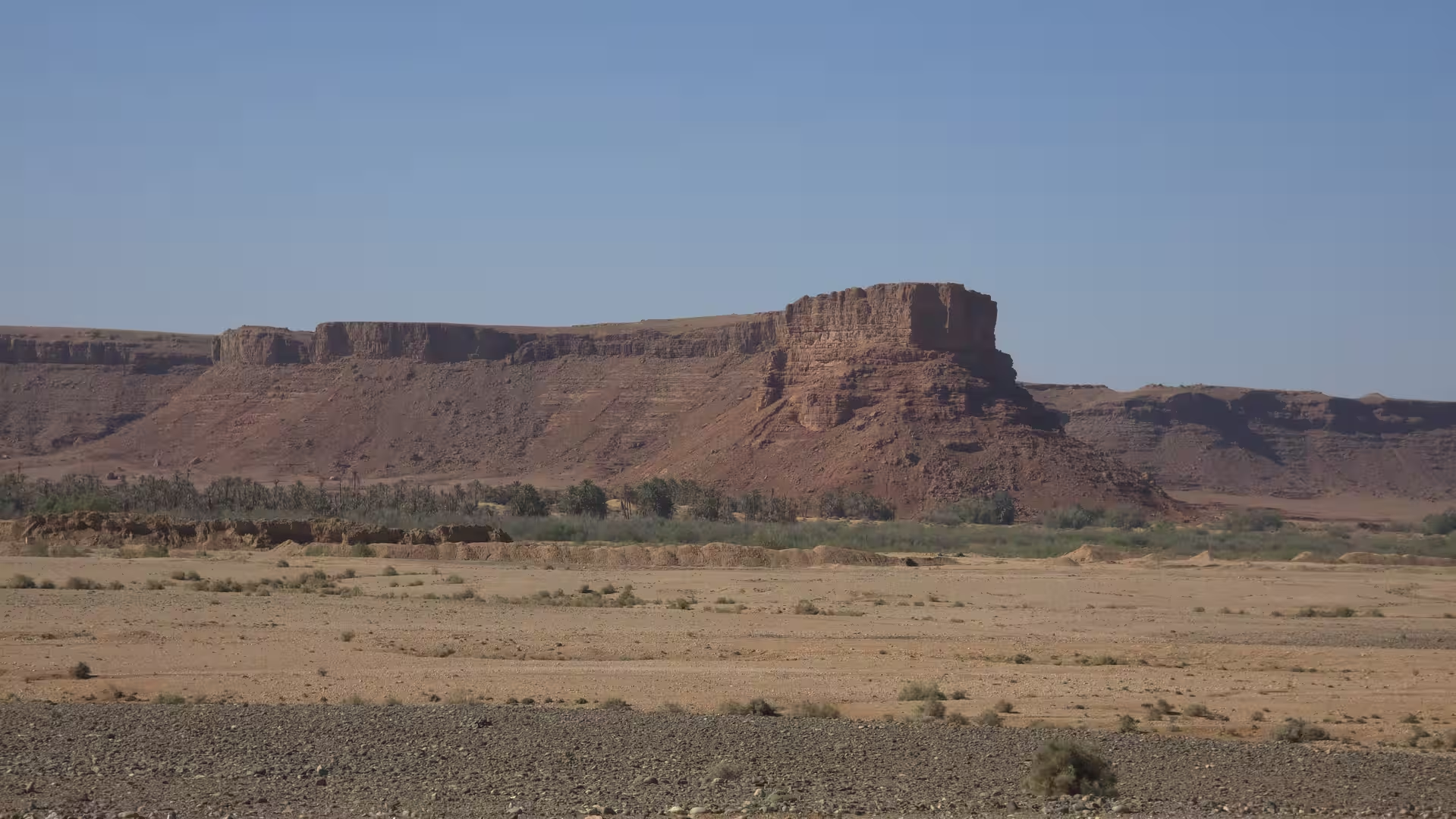
The route then approached the Erfoud and Rissani area. This region is one of the most recognizable transitions in southern Morocco. It lies between the interior road network and the desert routes leading toward the dunes of Erg Chebbi and the wider Sahara landscapes beyond. Even without making a direct detour into the dunes, the atmosphere changes here. The light becomes stronger, the land feels warmer and lower, and the road begins to carry the character of Morocco’s southern desert routes.
Erfoud and Rissani are important places in this landscape. They are associated with oasis life, desert trade routes, fossil landscapes, palm groves, and the approach to the Sahara. Passing through or near this region gives the journey a new identity. The route is no longer mainly about eastern highlands. It has entered the pre-Saharan belt, where roads connect oasis towns, dry valleys, desert plateaus, and long-distance routes across southern Morocco.
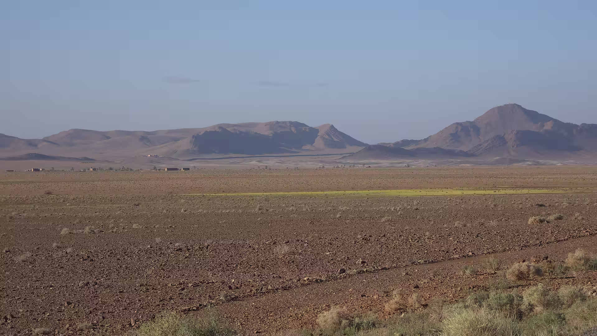
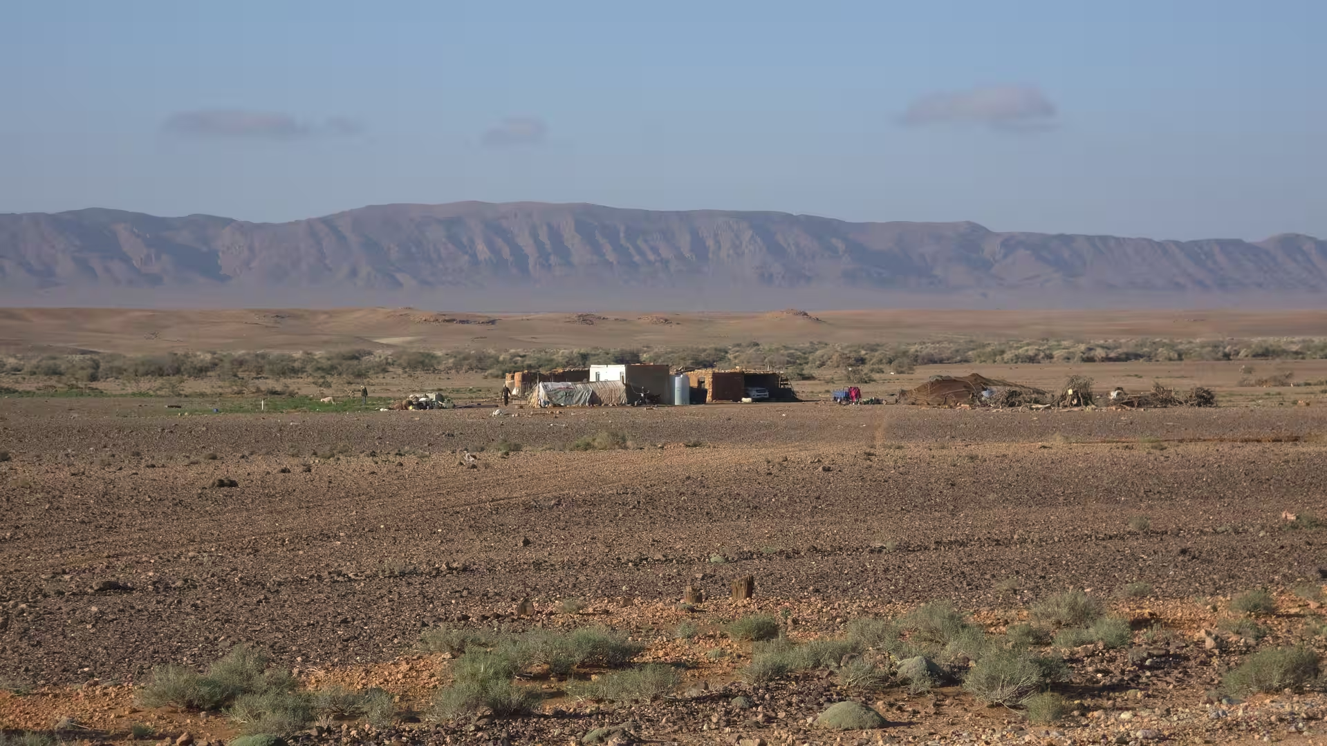
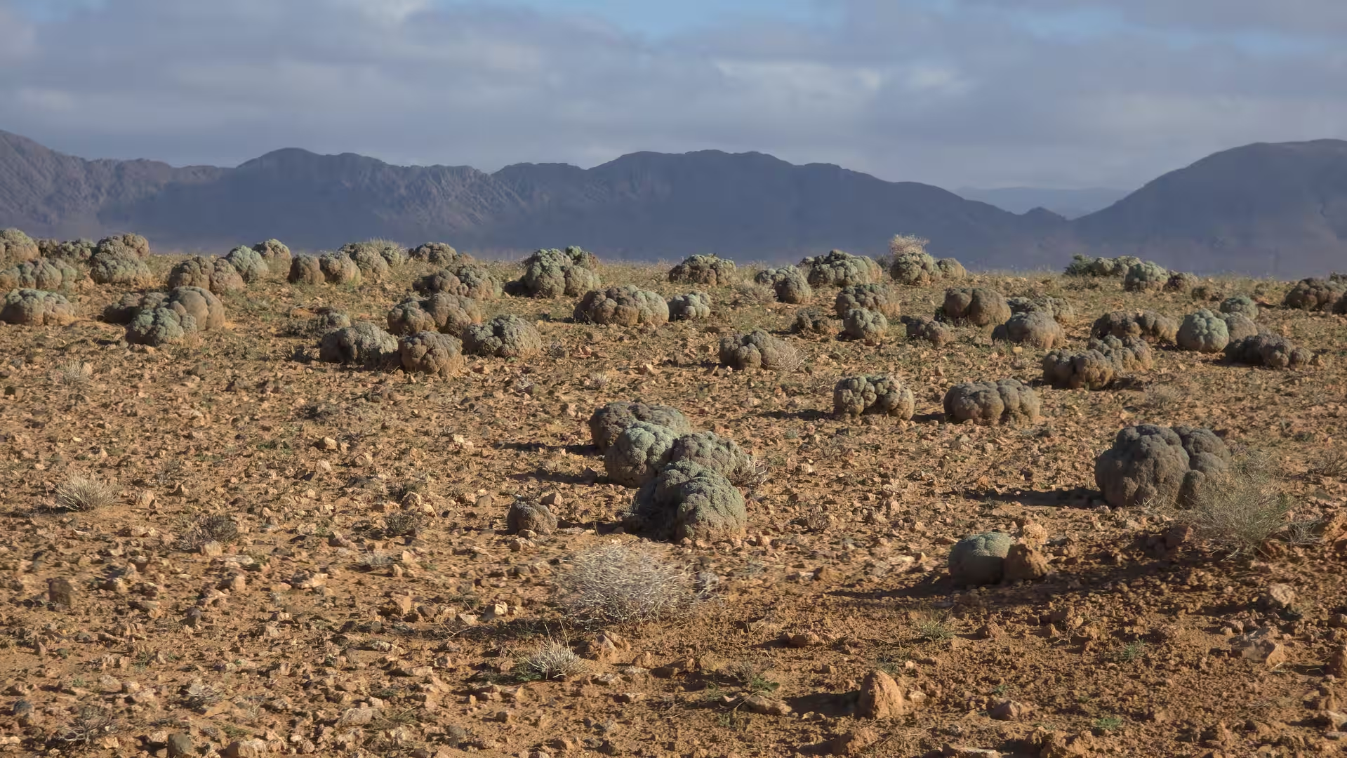
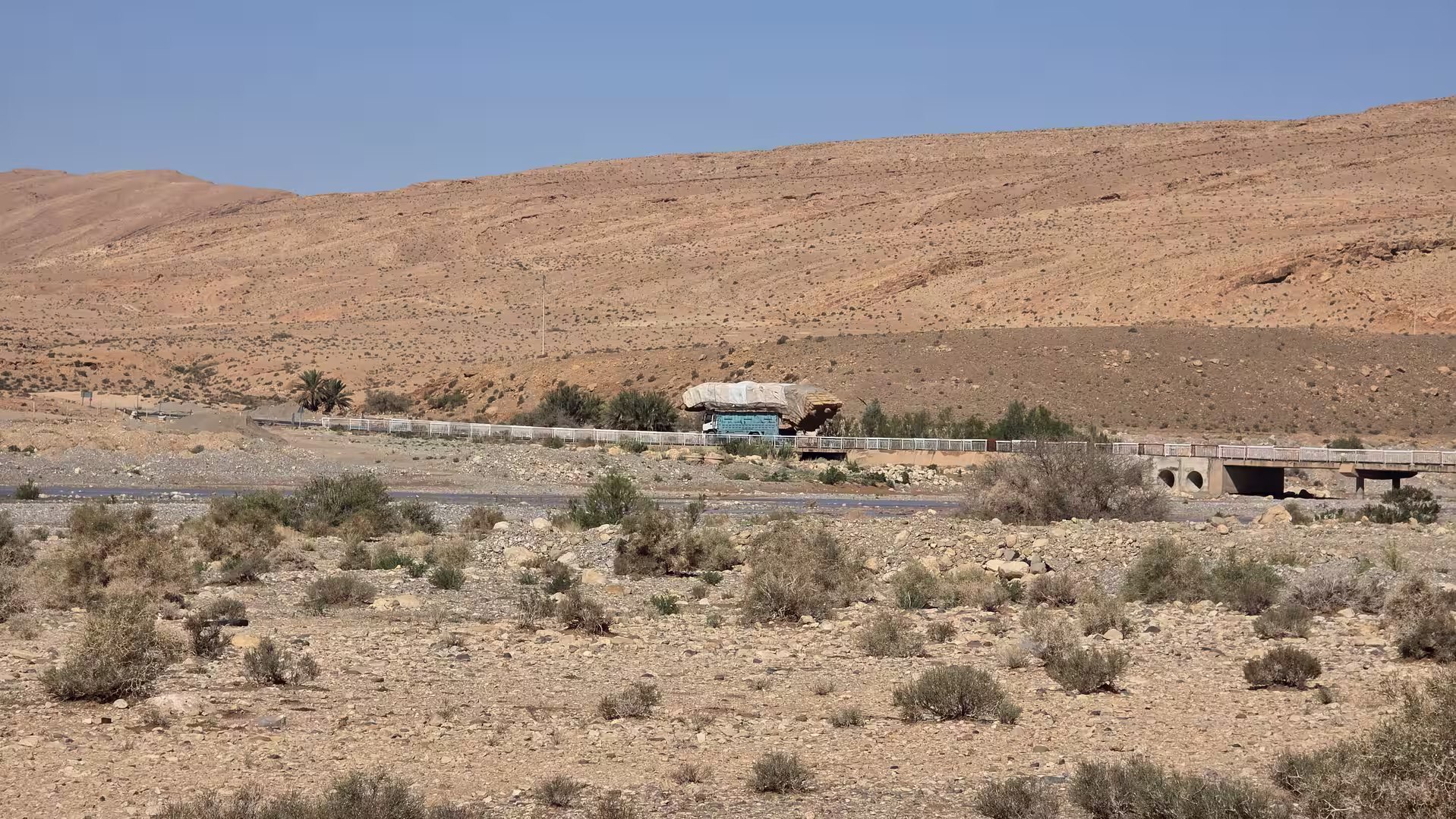
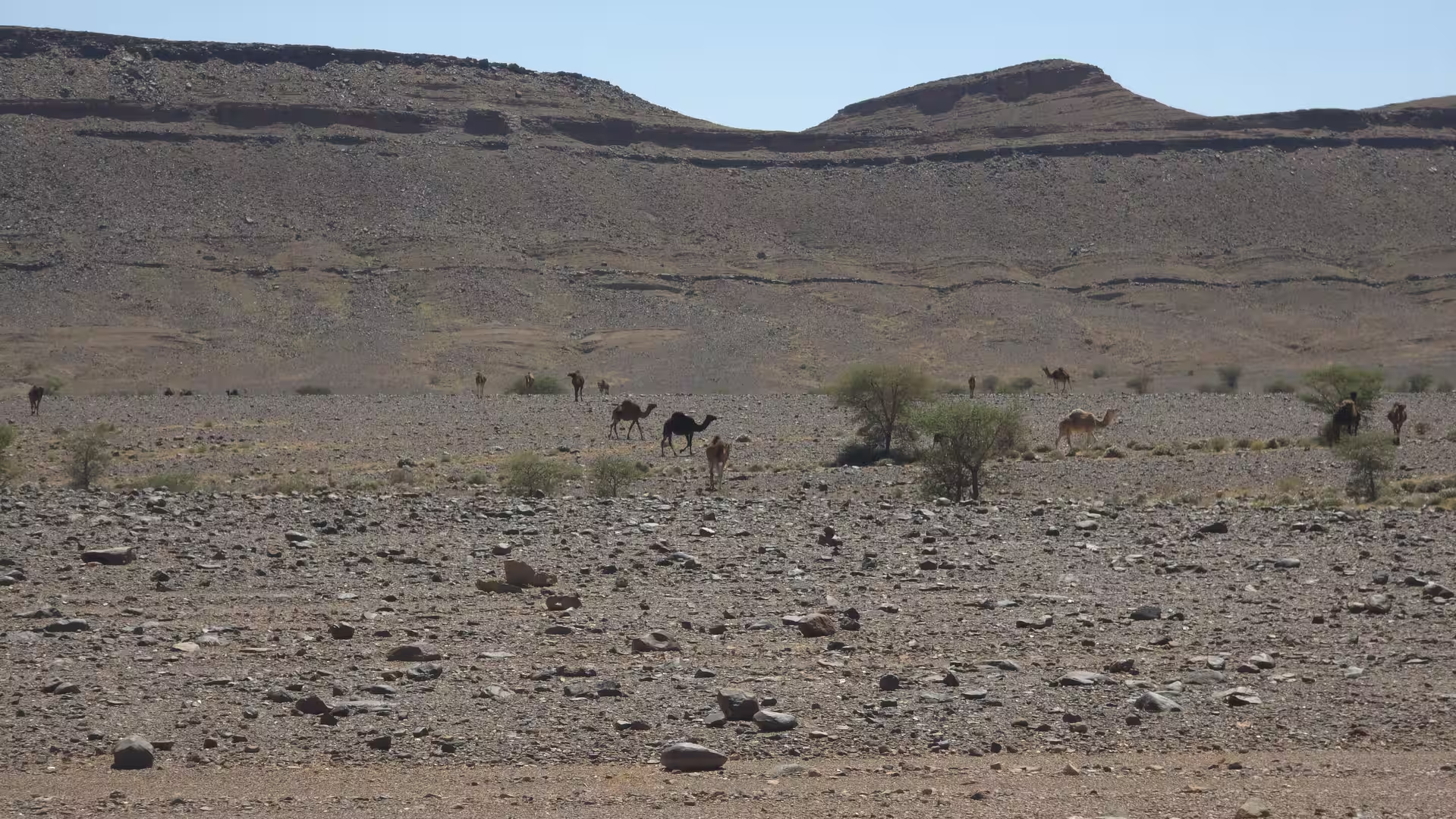
From the Tafilalt area, the journey turned southwest. The road left the more inhabited oasis corridor and moved toward Alnif. This was another major change in character. The route became more remote again, but in a different way from the eastern highlands. The openness here felt more desert-like, lower and warmer, with wide stony plains, dry valleys, isolated hills, and a sense of moving along the northern edge of the Sahara-facing landscapes.
The road toward Alnif is one of those Moroccan routes where the scenery is broad rather than dense. The mountains are often distant, the settlements scattered, and the road runs through large spaces where the colors are dominated by earth, stone, and sky. This kind of landscape can feel simple at first, but over time it becomes deeply atmospheric. The repetition of dry plains, low ridges, and empty road gives the journey a meditative rhythm.
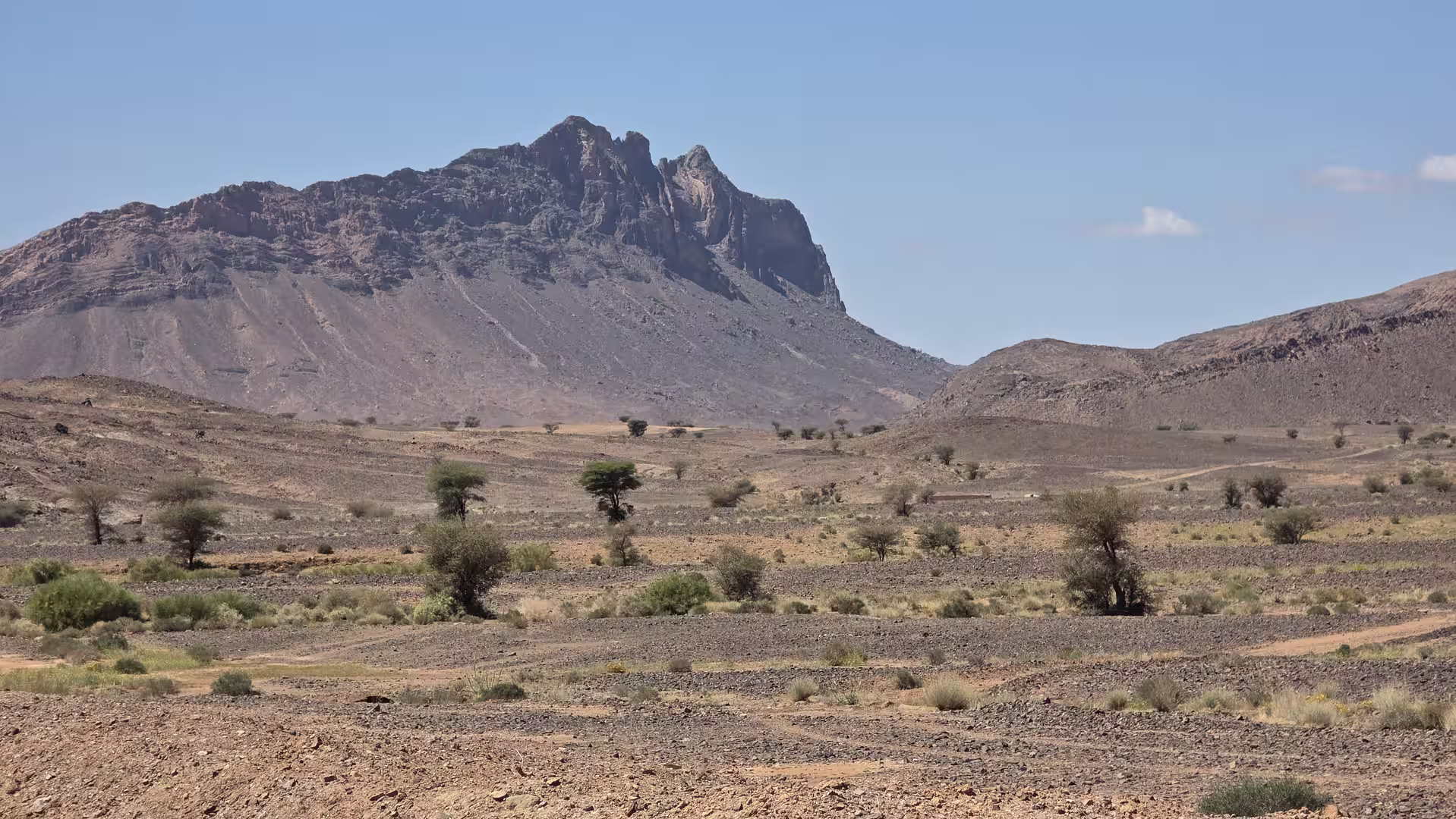
By mid-afternoon, the route reached the Alnif area. This small desert town forms another useful anchor in the long crossing between the Tafilalt region and the Draa Valley. Around Alnif, the terrain feels rugged and mineral. The landscape is dry, open, and almost geological in its appearance. It is a place where the road trip becomes less about individual sights and more about the feeling of distance and remoteness.
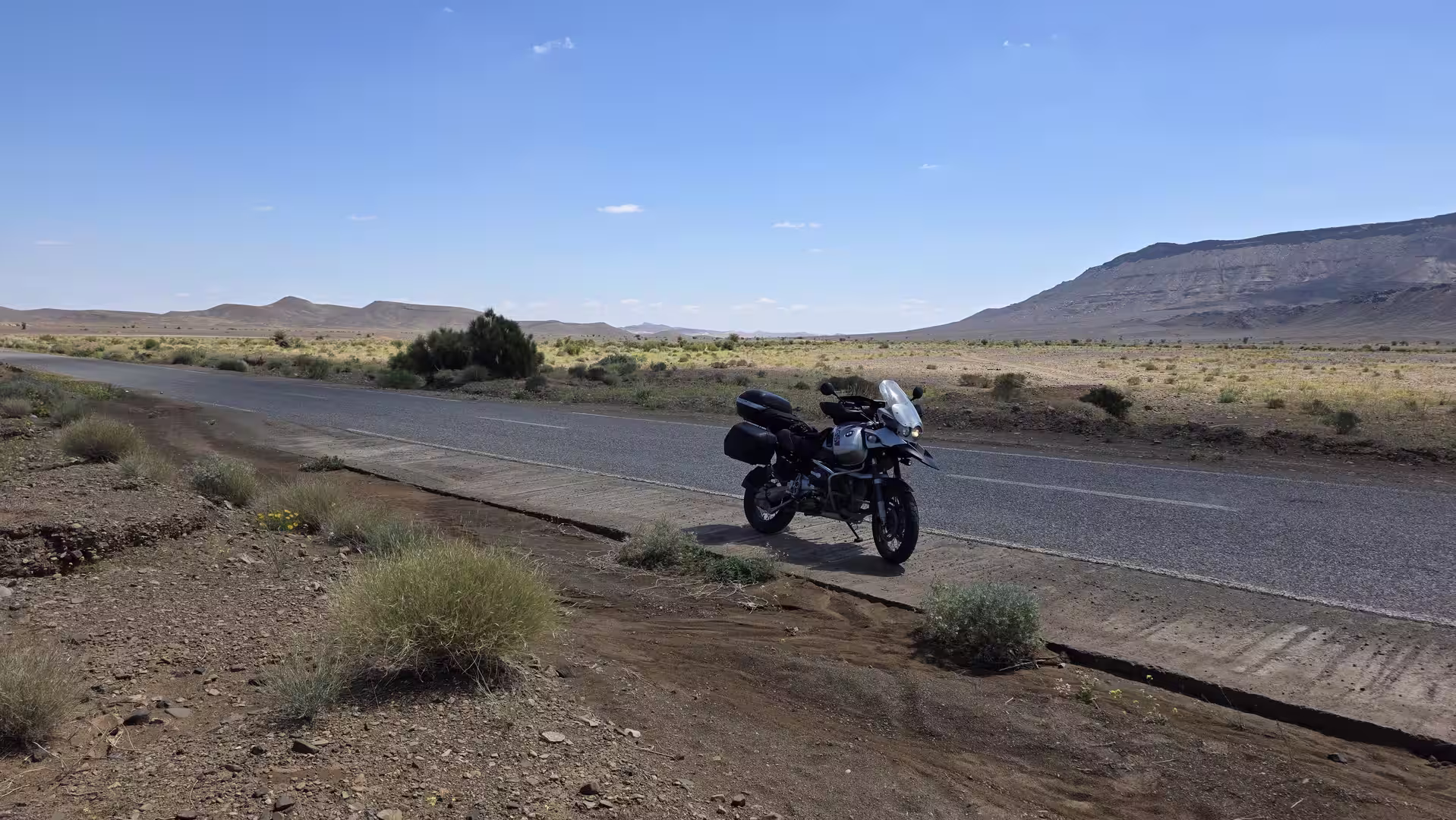
There was a short stop in this part of the route, fitting the rhythm of a long day on desert roads. The journey had already covered several hundred kilometers, and the road still had a long way to go before reaching Zagora. These pauses are important on a route like this. They break the physical strain of driving and allow the landscape to be experienced more deliberately.
After Alnif, the route continued southwest toward Tazzarine. This section deepened the desert-road character of the day. The road crossed wide landscapes with dry riverbeds, stony plains, low mountains, and a growing sense of entering Morocco’s southern interior. Compared with the beginning of the day near the high plateaus west of Bouarfa, the landscape was now lower, warmer, and more connected with the pre-Saharan south.
The road to Tazzarine felt like a passage between different desert worlds. Behind lay the high eastern plateau and the Tafilalt oasis region. Ahead lay the Draa Valley and Zagora. In between, the route crossed a broad dry corridor where the scale of the landscape became the main impression. The journey was now far removed from Morocco’s northern cities, coasts, and mountain roads. It belonged fully to the south.
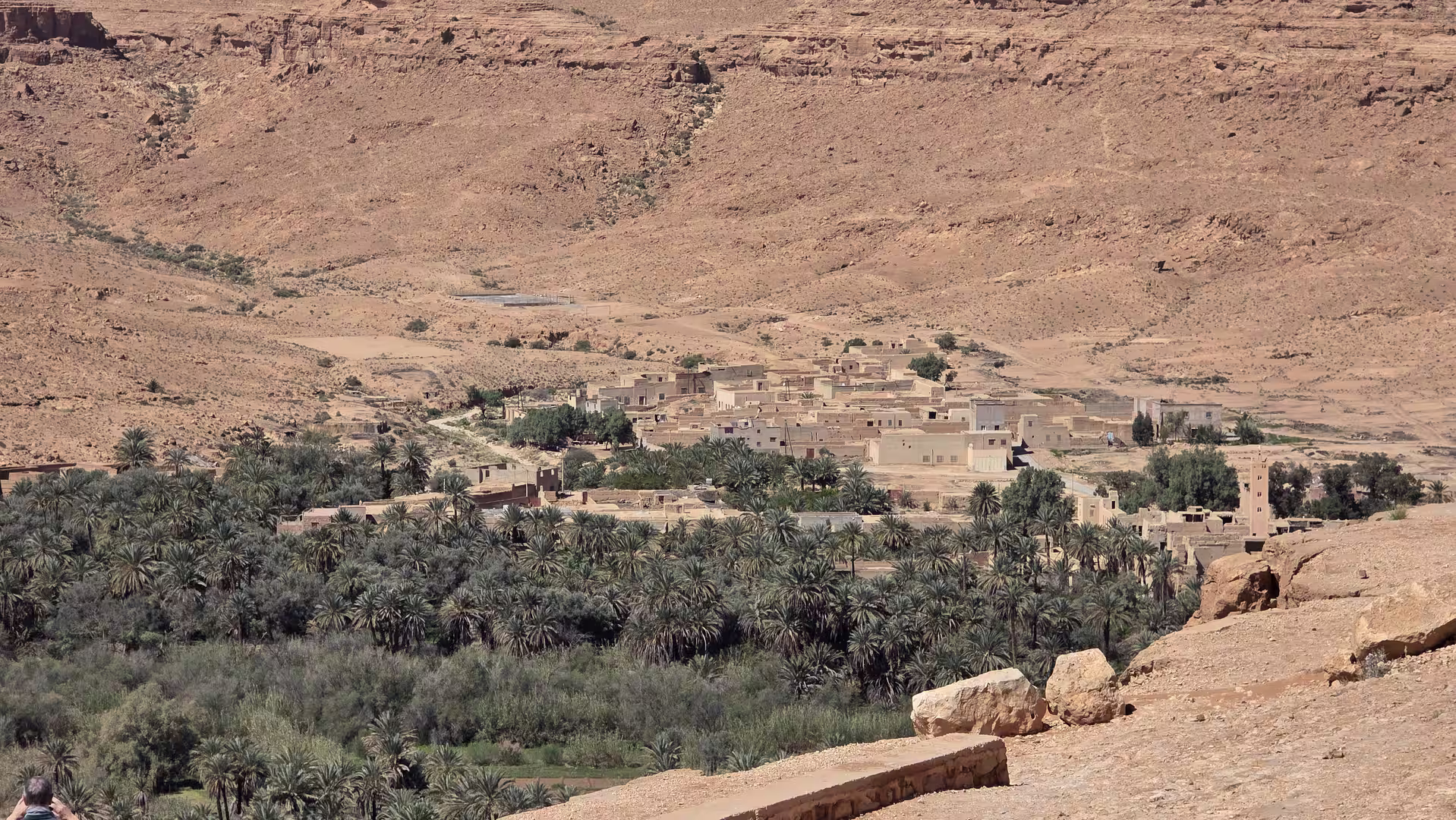
Tazzarine marked another important transition. The town lies on a route often used when traveling between the southeastern desert regions and the Draa Valley. Around here, the landscape becomes increasingly associated with southern Morocco: dry mountains, palm-filled valleys in the distance, stony plains, and long roads that seem to run endlessly toward the horizon.
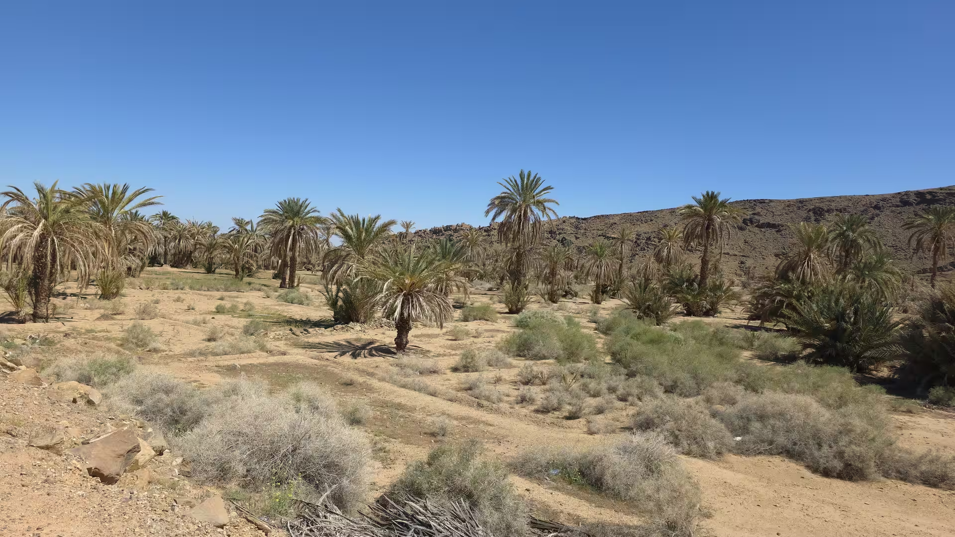
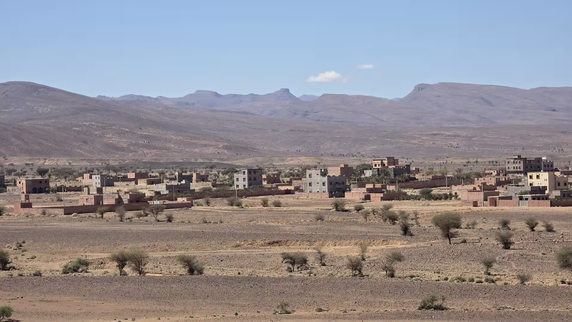

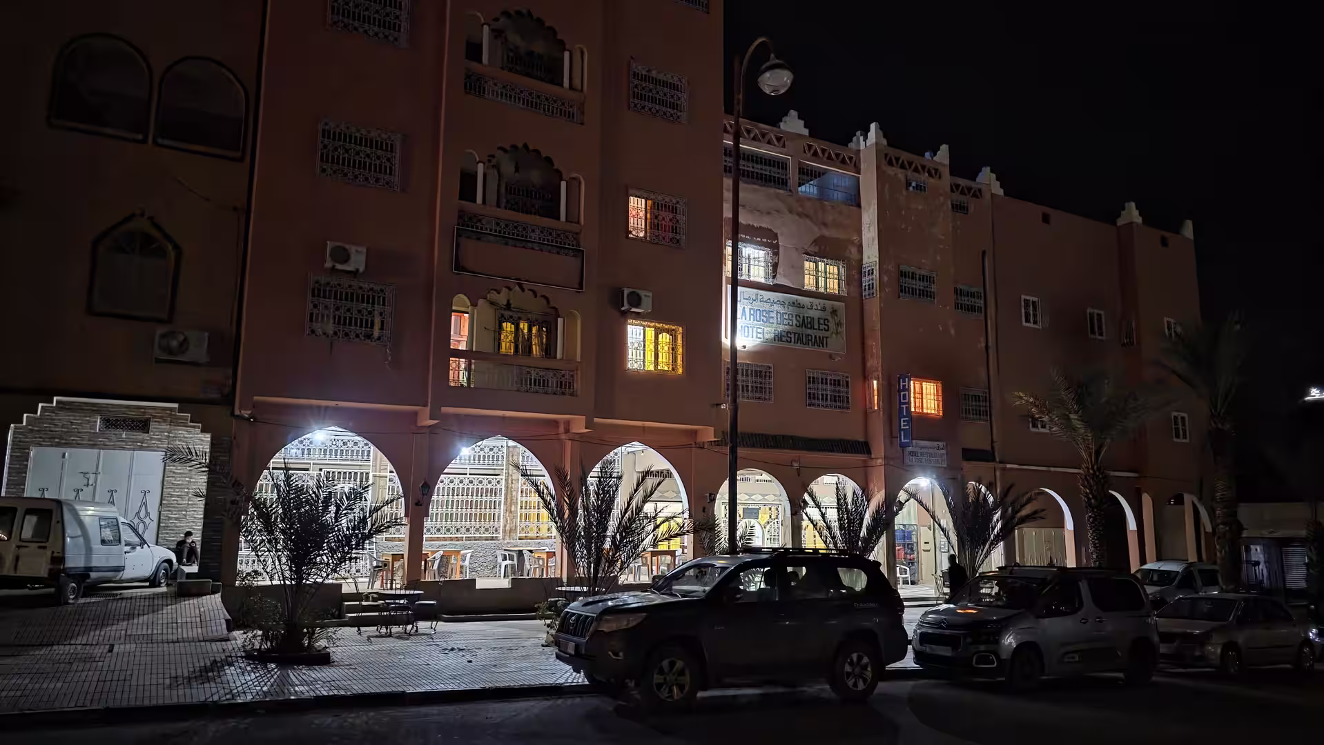
From Tazzarine, the final section led toward Zagora. This was the last major chapter of the day. The road turned west and southwest across a dry landscape that gradually approached the Draa Valley. The scenery remained open and arid, but the destination gave the route a clear sense of arrival. Zagora is one of the classic names of southern Morocco, associated with palm groves, desert routes, and the historic idea of travel toward the Sahara.
The approach to Zagora changed the mood of the journey again. After the long plateau roads, the remote crossings, the Tafilalt region, and the desert corridors around Alnif and Tazzarine, the road finally moved toward a more defined oasis town. The land remained dry, but the presence of the Draa Valley gave the final part of the drive a different atmosphere. Zagora is not simply another waypoint. It is a destination with a strong travel identity.
The GPS track ended in Zagora in the late afternoon, after almost ten hours from start to finish and more than 600 kilometers of recorded movement. The route had crossed an extraordinary range of Moroccan interior landscapes in a single day. It began in the high plateaus west of Bouarfa, passed through the Bouanane region, continued toward Boudnib and the Errachidia corridor, moved through the Tafilalt area near Erfoud and Rissani, crossed the remote road toward Alnif, continued through Tazzarine, and finally arrived in Zagora.
The strongest feature of the day was the sequence of transitions. The route did not move from one famous sight to another. Instead, it crossed geographic zones: eastern high plateau, dry valleys, oasis corridors, pre-Saharan plains, desert towns, and finally the Draa Valley region. Each part of the journey had its own character.

The beginning felt elevated, dry, and exposed. The land around Bouarfa and Bouanane was wide and quiet, shaped by high altitude and distance. The middle part around Errachidia, Erfoud and Rissani introduced the oasis and desert-edge landscapes of southeastern Morocco. The later part toward Alnif and Tazzarine returned to remoteness, but in a warmer, more southern form. The arrival in Zagora brought the road into one of Morocco’s classic desert gateways.
This was a demanding travel day. The distance was long, the road crossed remote areas, and the scenery often changed slowly rather than dramatically. But that is exactly what made it memorable. The route offered a deep impression of Morocco away from the coast and major tourist centers. It showed the country as a vast interior landscape, connected by long roads and marked by towns that appear as essential points of orientation.
For travelers, this route is especially rewarding if the journey itself matters as much as the destination. It is not a road to rush. It is a road to experience through movement: watching the highlands give way to desert valleys, seeing how settlements appear and disappear, feeling the shift from the Oriental region toward the pre-Saharan south, and arriving at Zagora with the sense of having crossed a large part of inland Morocco.
The previous day’s flooding added an important background to this route. The journey began after an interrupted attempt to continue through the eastern interior. Because of that, the first part of the day carried a sense of recovery and continuation. The road was not only a new route, but a resumed journey after conditions had forced a change of plan. That made the arrival in Zagora feel even more significant.
By the end of the day, the route had connected two very different Moroccan travel worlds. It started in the remote high plateau country of the east and ended in one of the best-known desert gateways of the south. Between them lay hundreds of kilometers of dry roads, small towns, oasis regions, stony plains, and wide horizons.
This was Morocco as a road journey: long, spacious, unpredictable, and deeply shaped by geography. From the Bouarfa highlands to Zagora, the road showed how vast and varied the interior of the country can be.