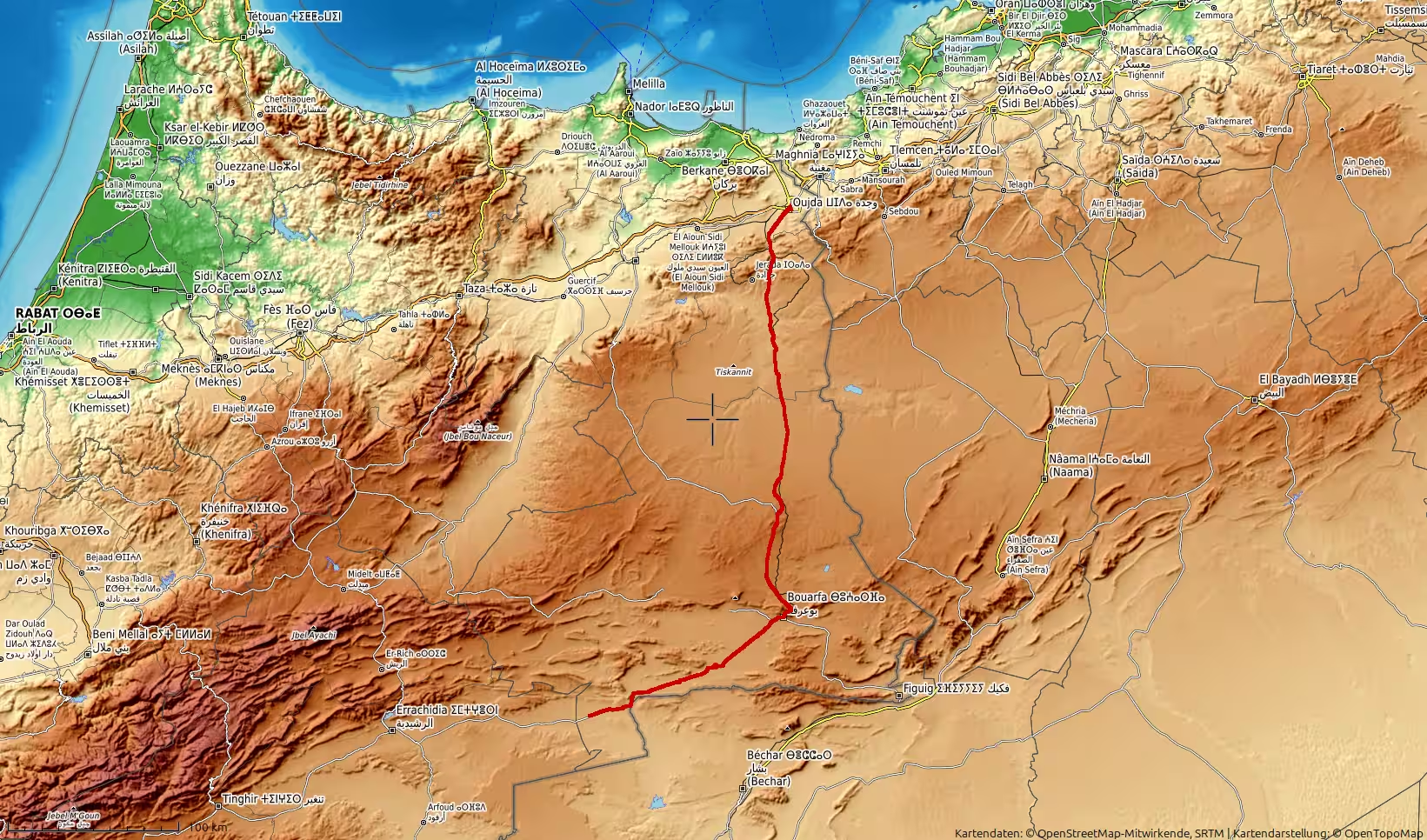
A long road journey through eastern Morocco, starting in Oujda and heading south across the high plateaus toward Aïn Bni Mathar, Tendrara and Bouarfa. The route was planned to continue farther into the remote interior toward Bouanane, but flooding made the road impassable and forced a return. With almost 490 kilometers of driving, high elevations, wide desert-like landscapes and an unexpected change of plans, this track shows both the beauty and the unpredictability of road travel in Morocco’s eastern highlands.
The journey began in Oujda, in Morocco’s far northeast, with the intention of driving south through the wide and dry landscapes of the Oriental region. After the previous days along the Mediterranean coast and through northern Morocco, this route led into a completely different world: high plateaus, desert-like roads, long distances between towns, and a landscape where the horizon often seemed larger than the road itself.
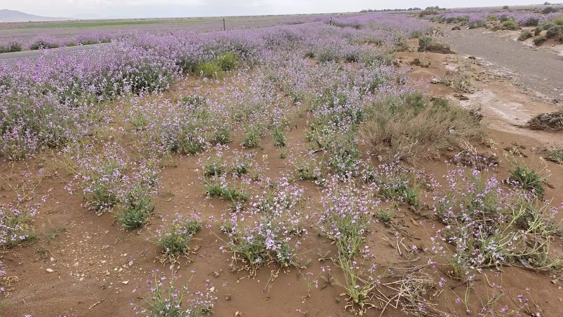
Leaving Oujda, the route first headed south into the open country beyond the city. The urban surroundings soon disappeared, replaced by dry plains, low hills, scattered vegetation, and the pale colors of eastern Morocco. The road became wider in feeling, even when it was physically narrow, because the landscape around it opened so dramatically. This was no longer the Morocco of coastal towns, mountain curves, or busy northern corridors. It was a quieter and more remote Morocco, shaped by distance, altitude, and exposure.
The first major stage of the journey led toward Aïn Bni Mathar. This part of the drive already showed the character of the day: long stretches of road, dry terrain, and a strong sense of moving away from the populated northeast. The land felt spacious and almost empty in places, but not monotonous. The scenery changed slowly, with low ridges, stony ground, and broad plateaus giving the route a calm but powerful atmosphere.
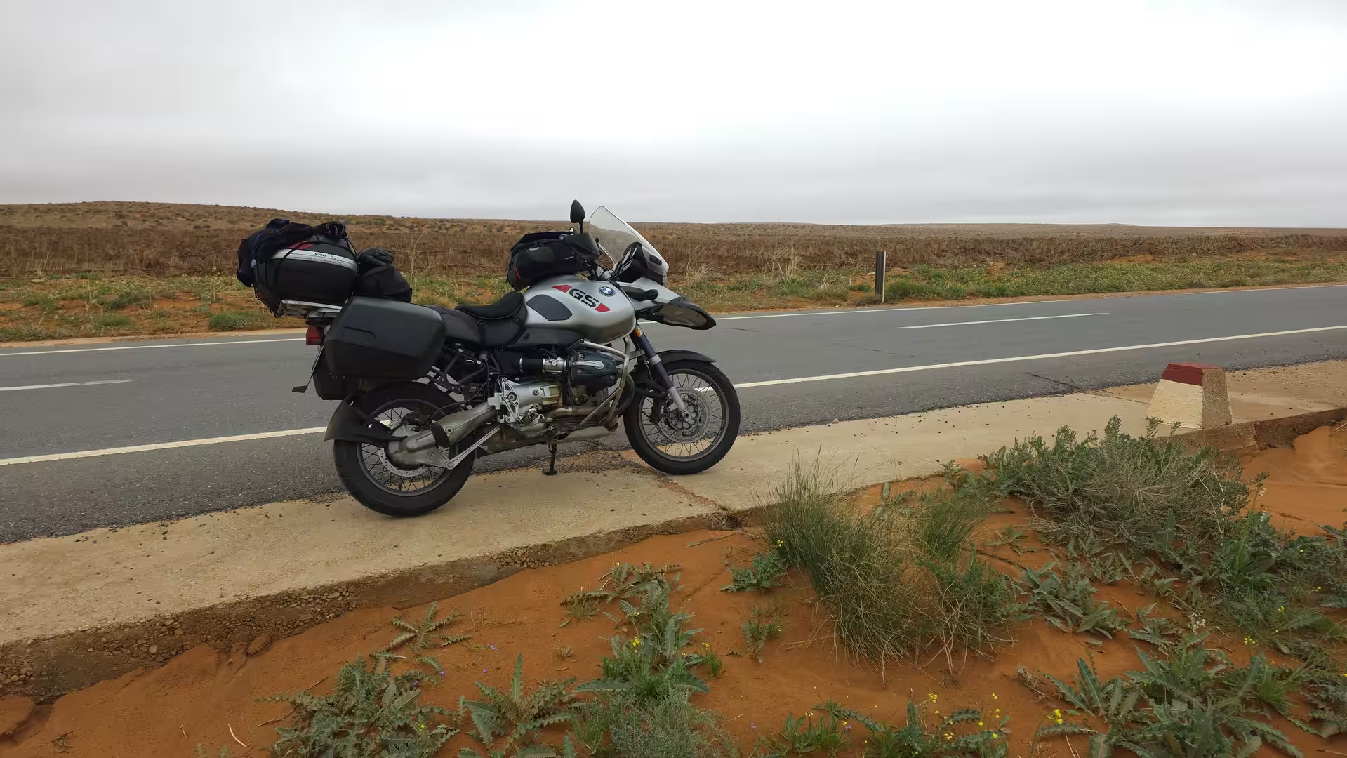
From Aïn Bni Mathar, the journey continued farther south toward Tendrara. The elevation increased, and the route crossed high, semi-arid country. Much of this region lies around or above 1,000 meters above sea level, which gives the landscape a special character. It is dry and desert-like, but not a low desert. It feels like a high plateau: open, windy, mineral, and exposed.
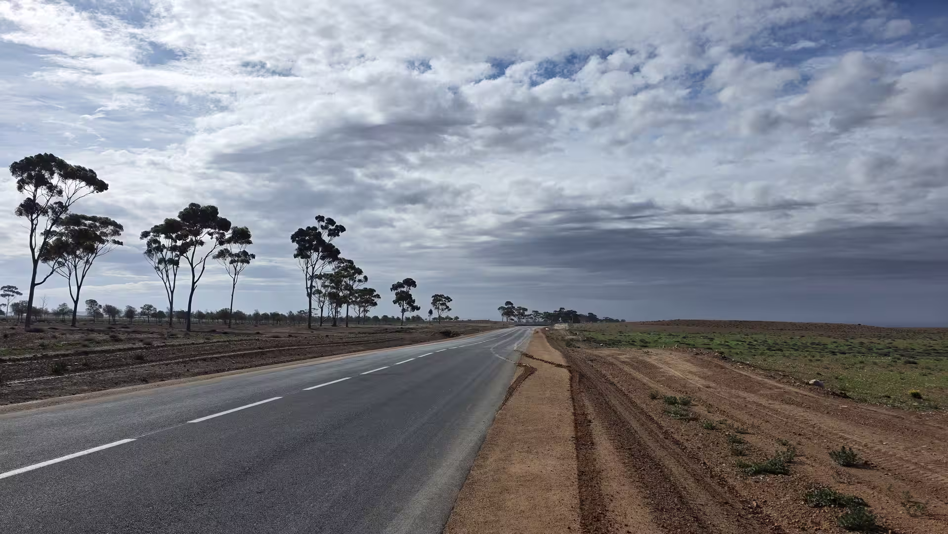


Tendrara formed an important point along the route. Around this area, the drive became a true overland crossing. Settlements were far apart, and the road carried a stronger feeling of remoteness. Between towns, the route passed through long sections of open land where the scenery was defined by scale rather than by individual landmarks. The sky dominated the view, and the road appeared as a thin line across the plateau.
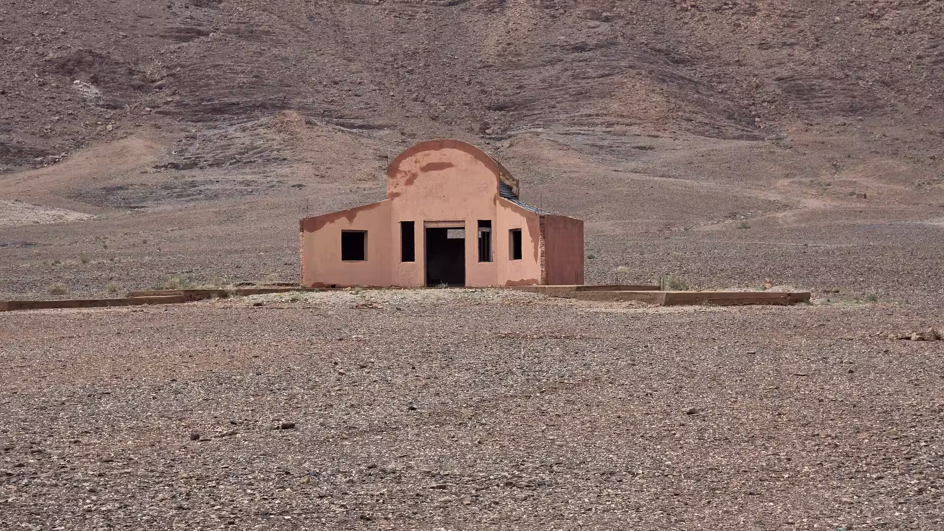
South of Tendrara, the route continued toward Bouarfa. This was one of the most impressive sections of the day. The road crossed higher terrain, and the track reached elevations close to 1,500 meters. The landscape became even more austere: dry hills, stony surfaces, sparse vegetation, and distant ridgelines. It was a landscape of silence and distance, far removed from Morocco’s better-known tourist routes.
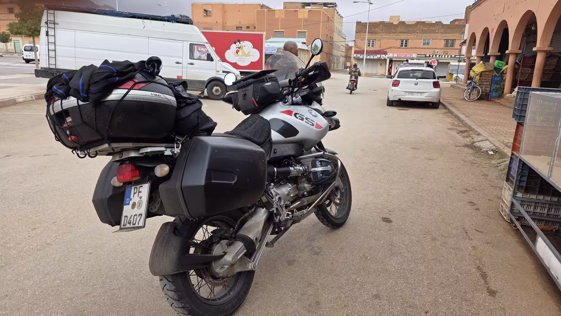
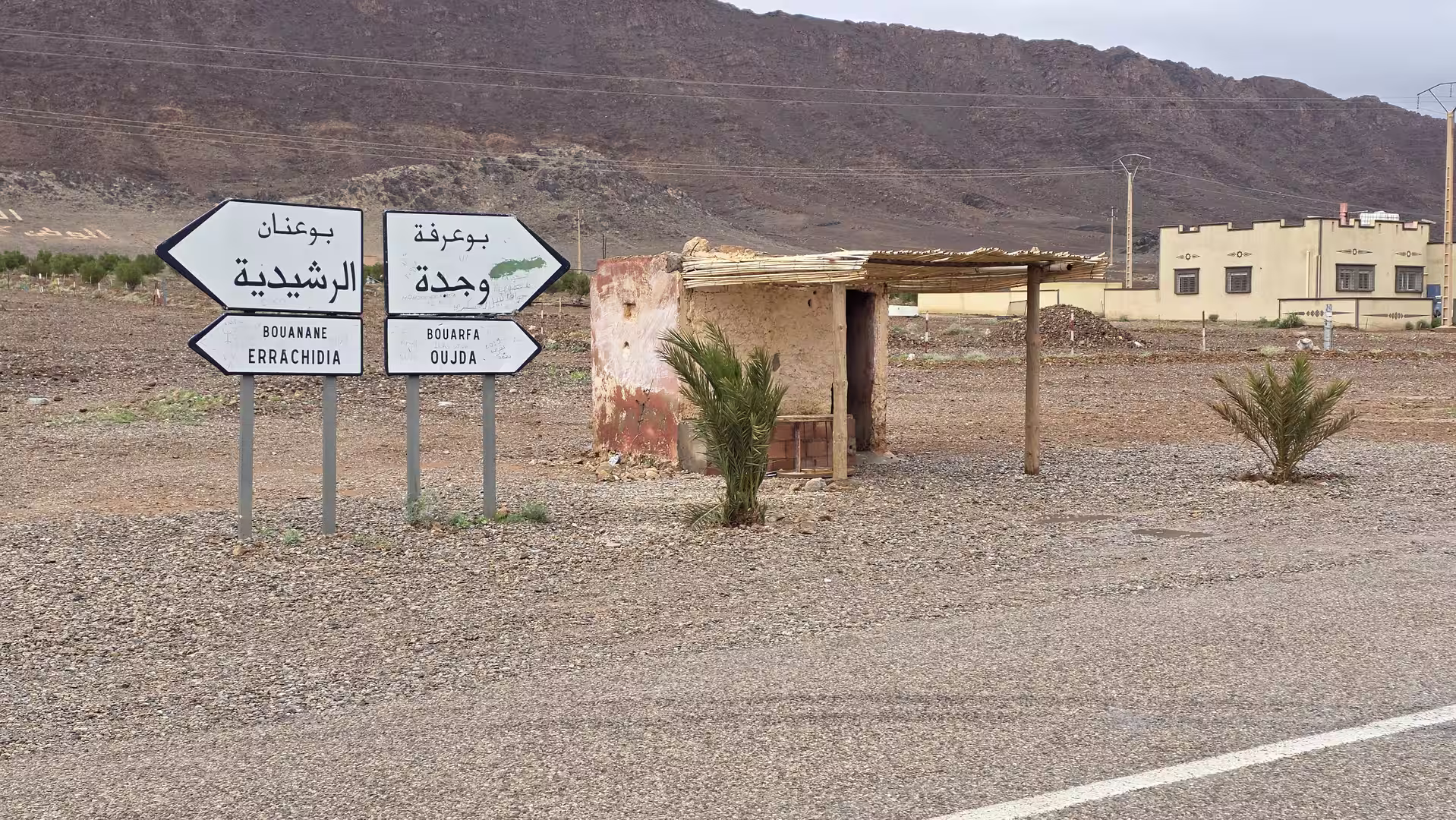
Bouarfa marked a major stage in the journey. It felt like a remote anchor point in a vast region. The town lies in Morocco’s eastern interior, surrounded by dry highland and desert-like scenery. After the long road from Oujda through Aïn Bni Mathar and Tendrara, arriving in Bouarfa gave the route a clear sense of progression. The journey had moved from a regional city into the high plateau and borderland landscapes of the east.

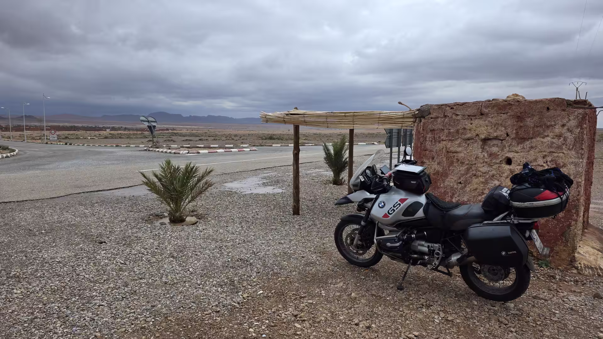
From Bouarfa, the plan was to continue farther west and southwest toward the more remote roads beyond the town, in the direction of Bouanane. This part of the route led into even quieter country. The road left behind the more direct north-south axis and entered a more isolated landscape of dry valleys, open plateau, and scattered settlements.
At first, this continuation felt like the natural next stage of the journey. The road moved deeper into the eastern Moroccan interior, away from larger towns and into a landscape where distance becomes the main impression. The surroundings were wide, dry, and exposed. It was exactly the kind of road that makes overland travel in Morocco so memorable: simple, remote, and strongly connected to the geography.
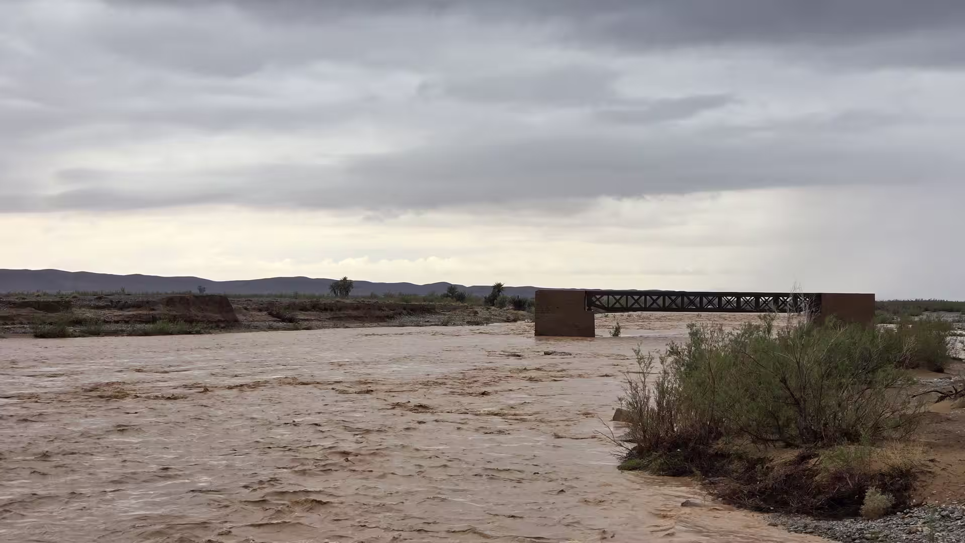
But the journey did not continue as planned.
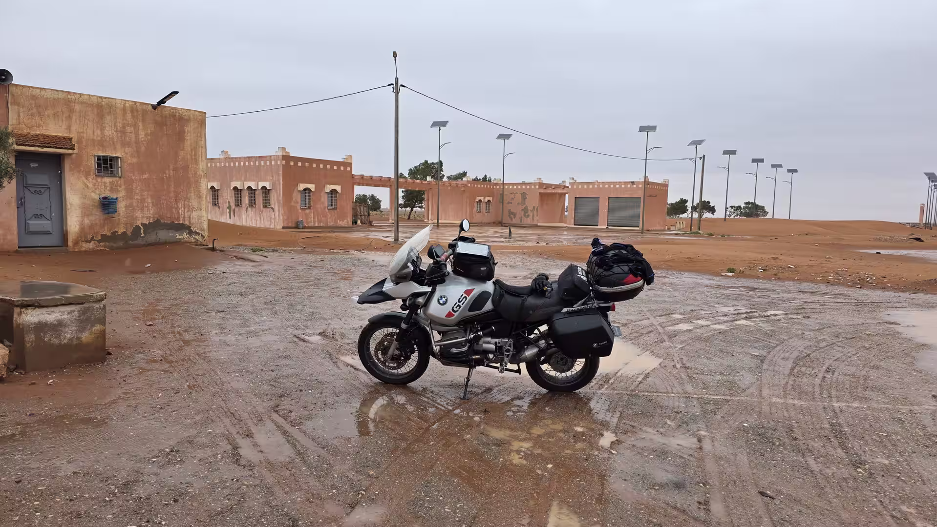
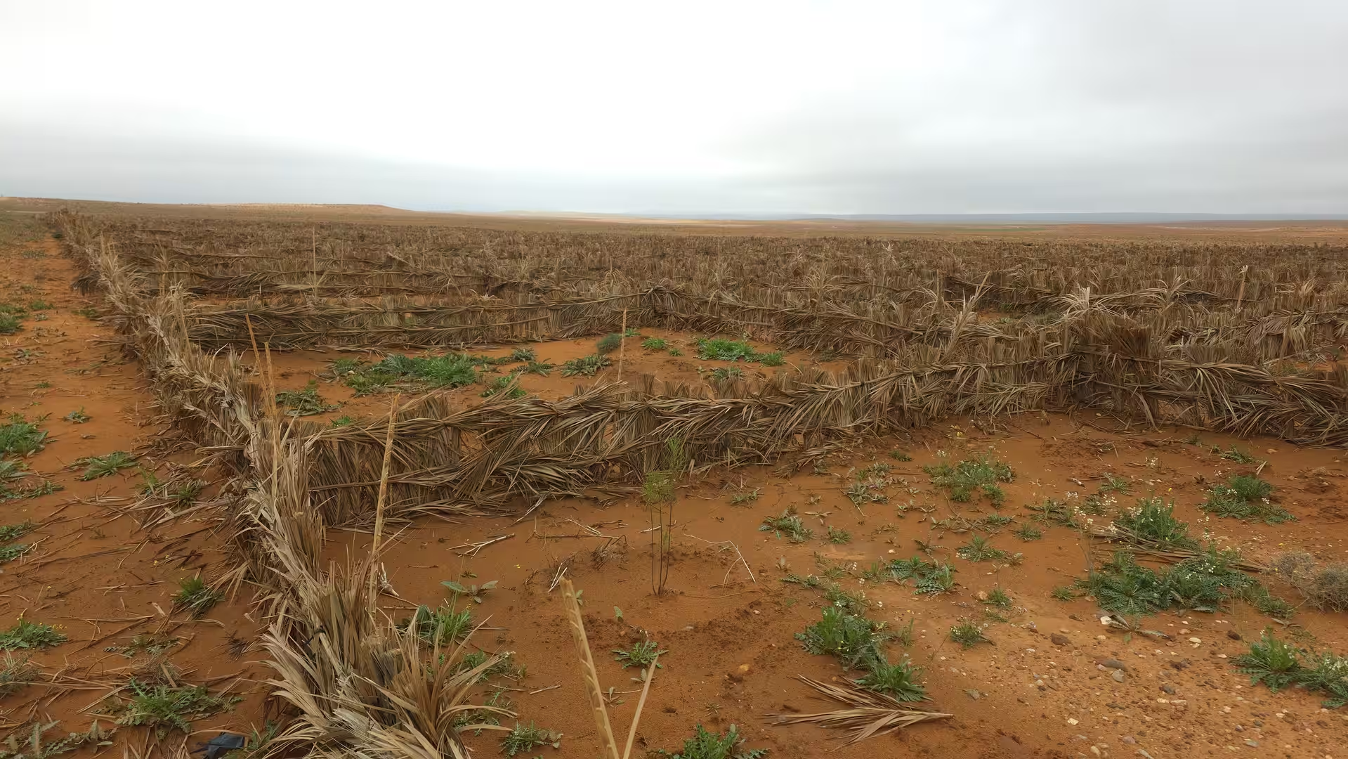
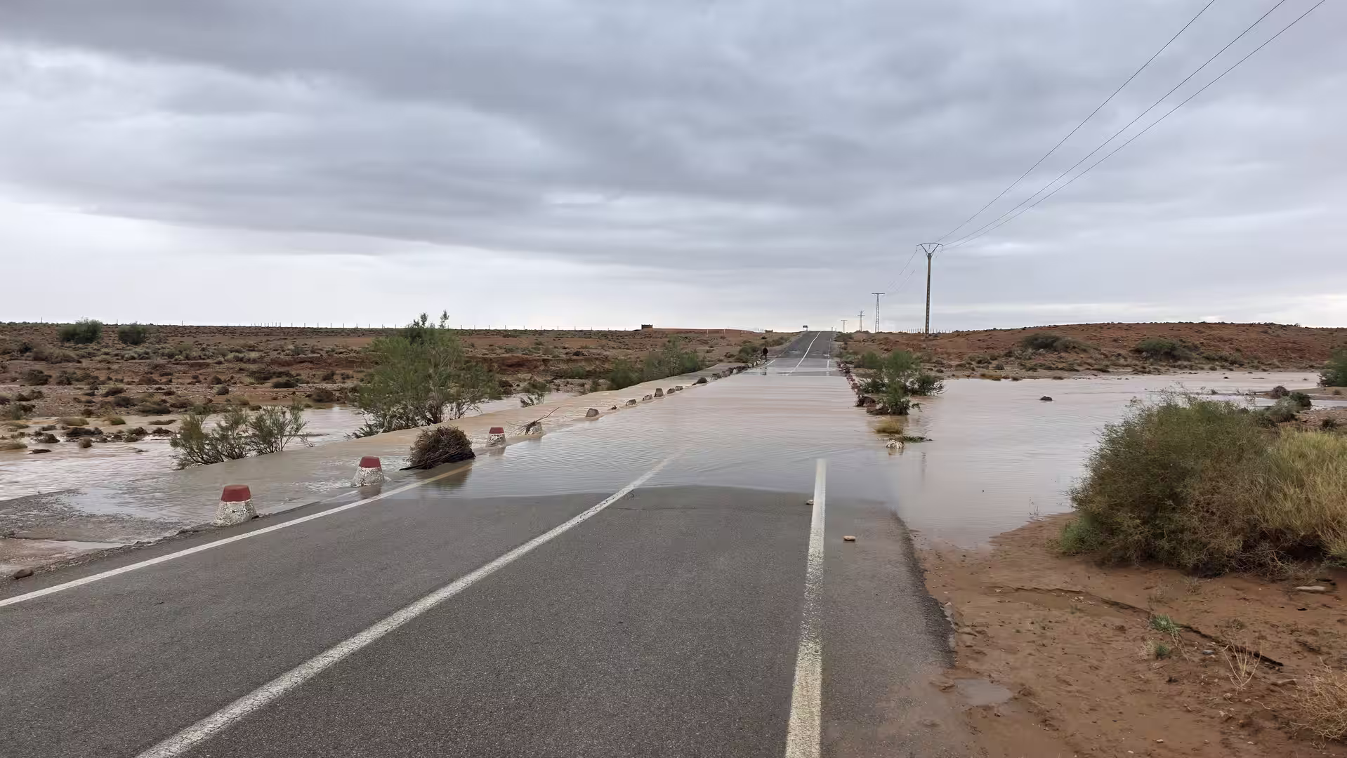
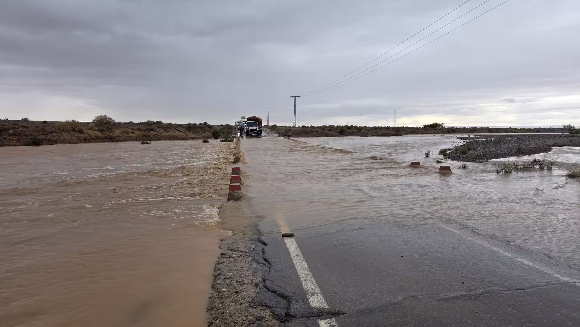
Flooding blocked the route and forced a return. In such a dry-looking landscape, water can be especially deceptive. Roads that cross wadis or low-lying sections may become impassable after rain, even when the surrounding country still appears arid. The problem is not always a permanent river, but sudden water across the road, damaged surfaces, mud, debris, or fast-flowing runoff in normally dry channels.
This changed the entire character of the day. What had started as a planned crossing farther into the remote interior became a route shaped by conditions on the ground. The track’s change of direction was not a sightseeing detour or a spontaneous loop. It was a necessary decision caused by flooding. The road ahead could not be safely continued, so the only reasonable option was to turn back.
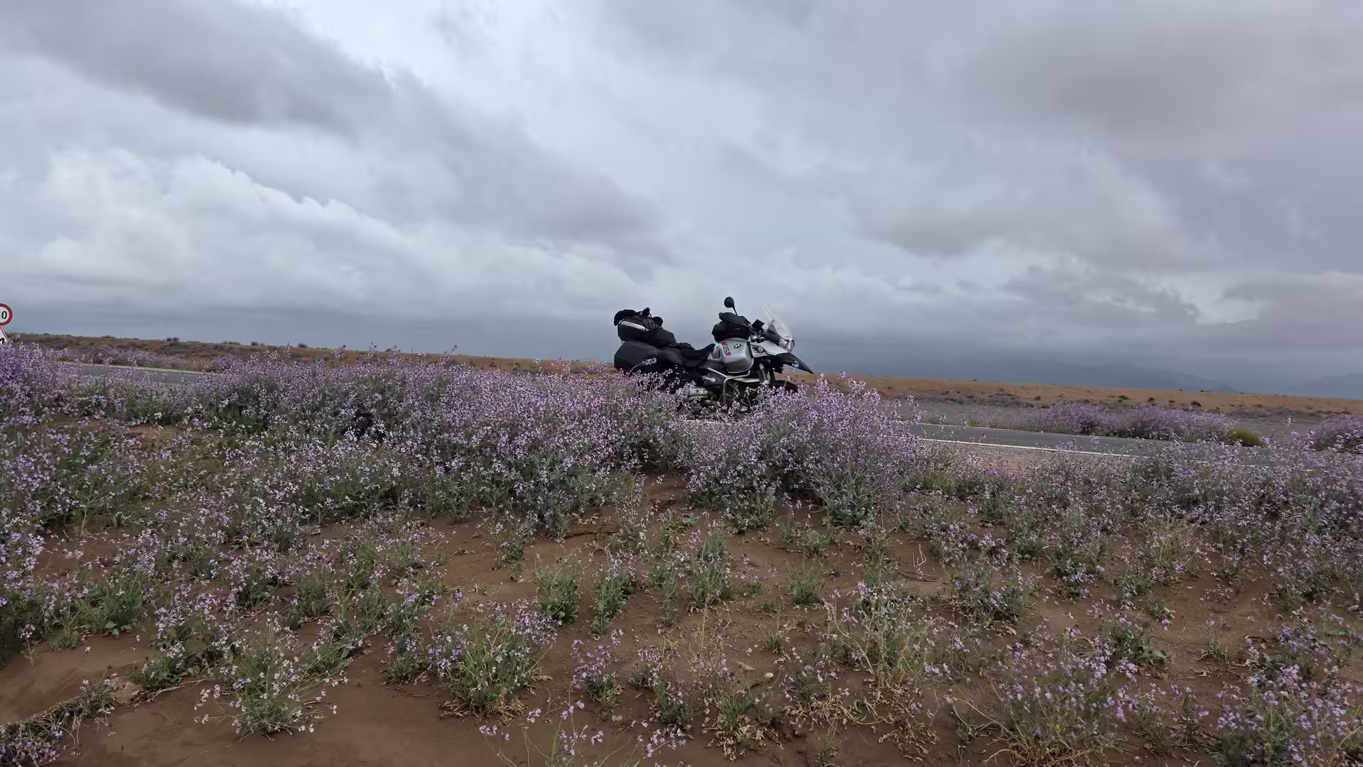
The return added a different kind of intensity to the journey. Instead of continuing westward, the route retraced part of the way through the same high, dry country. The landscape was familiar, but the mood had changed. On the outward drive, the open plateau felt like a space of movement and possibility. On the return, it felt more like a reminder of how quickly travel plans can change in remote regions.
This is one of the important lessons of driving through Morocco’s eastern interior. The landscape may appear dry, empty, and stable, but road conditions can change suddenly. Flooded crossings, damaged tracks, or water in wadis can interrupt a journey far from major towns. In such areas, turning back is not a failure of the route. It is part of responsible travel.
The return toward the Bouarfa side of the plateau gave the day an unusual structure. Instead of a clean point-to-point journey, the track became a record of an attempted crossing, an obstacle, and a retreat. That makes the route more interesting as a travel story. It shows not only the geography of the region, but also the reality of traveling through it.

By the end of the day, the journey had covered a long distance across eastern Morocco, even though the original route could not be completed. The track recorded almost 490 kilometers of travel through high plateau landscapes, remote roads, and desert-like scenery. It included the southbound route from Oujda through Aïn Bni Mathar, Tendrara and Bouarfa, the attempted continuation toward Bouanane, and the return after flooding made the road impassable.
The strongest impression of the day was the scale of the landscape. Eastern Morocco feels very different from the coast, the Rif Mountains, or the imperial cities. It is spacious, dry, elevated, and often quiet. Towns such as Aïn Bni Mathar, Tendrara, Bouarfa and Bouanane serve as important orientation points, but the real experience lies in the distances between them.
The flooding added another layer to the journey. It showed that even in an arid region, water can shape travel decisively. A dry plateau can suddenly become difficult to cross. A planned route can become impossible. A road trip can turn into a decision about safety, patience, and adaptation.
For travelers, this route is a reminder that Morocco’s remote eastern roads should be treated with respect. The distances are long, services are limited, and weather conditions can affect the road more strongly than expected. A route that looks straightforward on a map may become very different in reality.
Despite the forced return, the day remained memorable. Perhaps it became even more memorable because of it. The journey was not just a drive through remote Morocco; it became a real travel experience, with uncertainty, changing plans, and direct contact with the conditions of the landscape.
In the end, the route told a more honest story than a perfect itinerary would have done. It began in Oujda, crossed the high plateaus toward Tendrara and Bouarfa, pushed farther into the remote interior, met flooded roads, and turned back. It was a day of wide horizons, dry country, unexpected water, and the practical reality of road travel in eastern Morocco.
This was not the Morocco of polished tourist routes. It was the Morocco of open roads, weather, distance, and decisions. The flooding prevented the planned continuation, but it also revealed something essential about this region: in the eastern highlands, the landscape is always stronger than the itinerary.