2025 USA I - 2 - Tri Cities


Journal Notes
General
The Tri-Cities of south-eastern Washington are a metropolitan region of three adjoining cities, Kennewick, Pasco and Richland, which have grown together at the meeting of the Columbia, the Snake and the Yakima rivers. The region lies in the Columbia Basin of eastern Washington, a semi-arid country of basalt plains, sagebrush steppe and irrigated farmland on the inland side of the Cascade Range. The three cities form the core of the Kennewick-Richland metropolitan statistical area, which comprises Benton and Franklin counties and counted about 314,000 inhabitants in 2023, roughly a quarter more than in 2010, one of the fastest growth rates in the Pacific North-West.
Each of the three cities has kept its own character. Pasco, the county seat of Franklin County, stands on the east bank of the Columbia at the mouth of the Snake and grew out of the railway yards of the Northern Pacific; Kennewick, the largest of the three with some 84,000 inhabitants at the 2020 census, occupies the south-west bank below the confluence of the Yakima; and Richland, with about 61,000 inhabitants, lies at the mouth of the Yakima on the opposite shore and owes its growth to the atomic industry, which rebuilt it as a government town after 1943.
Although the three cities were incorporated separately between 1891 and 1910, they form a single conurbation and a single labour market. The economy rests on four pillars: the science and engineering complex of the Hanford Site, irrigated agriculture and food processing, the wine industry, and logistics on the rail and river corridors. The Pacific Northwest National Laboratory, one of the national laboratories of the Department of Energy, has its main campus in Richland, and the environmental clean-up of Hanford still provides much of the regional employment. Washington State University maintains a campus at Richland.
The climate is shaped by the Cascade Range, which cuts off most of the moisture of the Pacific: the Tri-Cities receive only about 200 millimetres of rain a year, enjoy more than 300 days of sunshine and have warm, dry summers and mild winters. The rivers and the irrigation water pumped from them make this dry country one of the most productive agricultural districts of the United States: orchards of apples and cherries, vineyards, hop fields and wheatlands surround the cities, and much of the harvest is processed locally before being shipped across the country.
The Tri-Cities are also the urban gateway to the wine country of the Columbia Valley. The Columbia Valley AVA, established in 1984, is among the largest wine appellations of the United States; within it lie the Red Mountain AVA of 2001, west of Richland, and the Horse Heaven Hills AVA of 2005 on the bluffs across the Columbia from Kennewick. Tasting rooms line the waterfronts of the three cities, and the vineyards of the surrounding hills are a short drive from any of them.
History
The confluence of the Columbia, the Snake and the Yakima has been a gathering place for people for thousands of years. The rivers carried salmon past permanent village sites, and the peoples of the plateau, among them the Wanapum, the Yakama, the Walla Walla and the Nez Perce, gathered here to fish and trade. The antiquity of this occupation became known to the wider world in 1996, when the skeleton of a man who had lived about 8,500 years ago was found on the bank of the Columbia near Kennewick. Among the oldest and most complete remains of their age found in the Americas, they set off a long dispute between scientists and the tribes; the United States Congress finally ordered their return, and they were reburied by a coalition of five Columbia Basin tribes in February 2017.
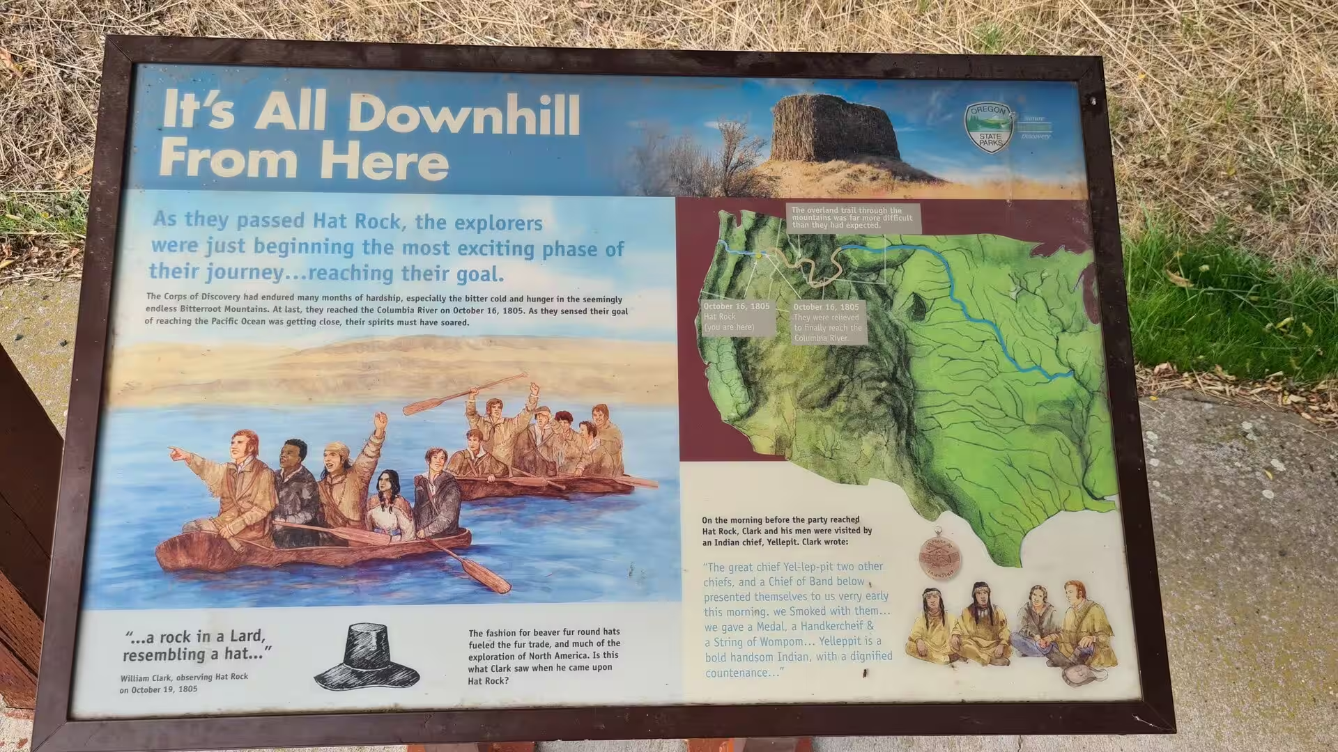
The Lewis and Clark Expedition passed through in October 1805. The Corps of Discovery camped at the mouth of the Snake, on the site of the present Sacajawea State Park, on 16 October, and William Clark explored upstream in a canoe the next day, reaching Bateman Island at the mouth of the Yakima, the farthest point of the expedition on the upper river; on 19 October the party named the basalt tower of Hat Rock below the modern McNary Dam. Fur traders soon followed: the North West Company built Fort Nez Perces at the mouth of the Walla Walla River in 1818, and the Hudson’s Bay Company maintained the post until it was abandoned in 1857.
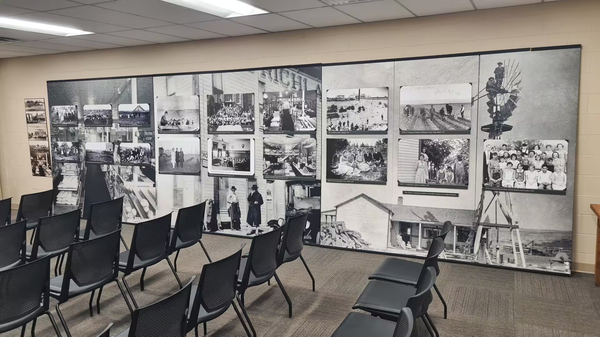
Settlement on the American pattern began in the later nineteenth century. A construction camp of the Northern Pacific Railway named Ainsworth grew up at the confluence in 1879 and briefly housed up to 1,500 men, and the arrival of the railway in the 1880s fixed the site of Pasco, incorporated in 1891 and named for the silver-mining town of Cerro de Pasco in Peru. Kennewick was incorporated in 1904, and Richland, founded in 1905 by the land developer William R. Amon and named for the legislator Nelson Rich, followed in 1910. Irrigation canals turned the sagebrush plains into orchards, and the farm towns of Hanford and White Bluffs on the upper river belonged to the same world of homesteads and river ferries.
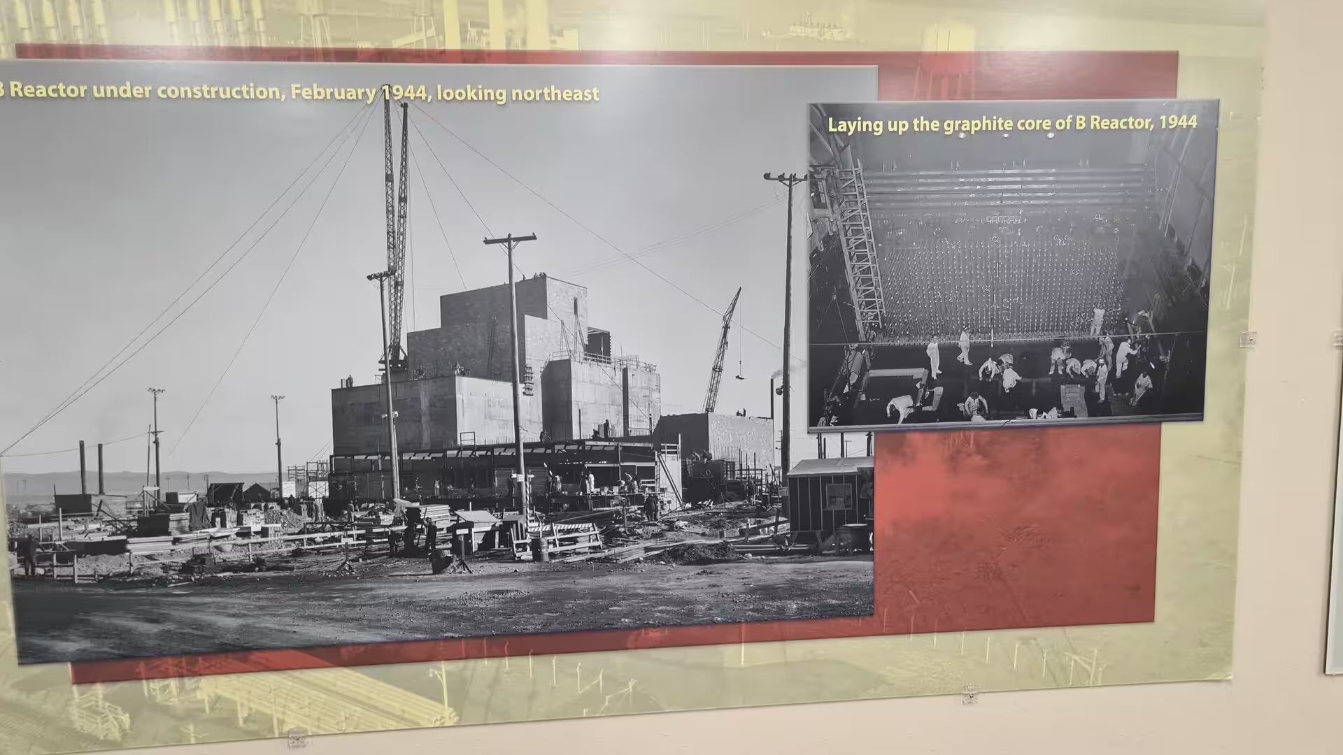
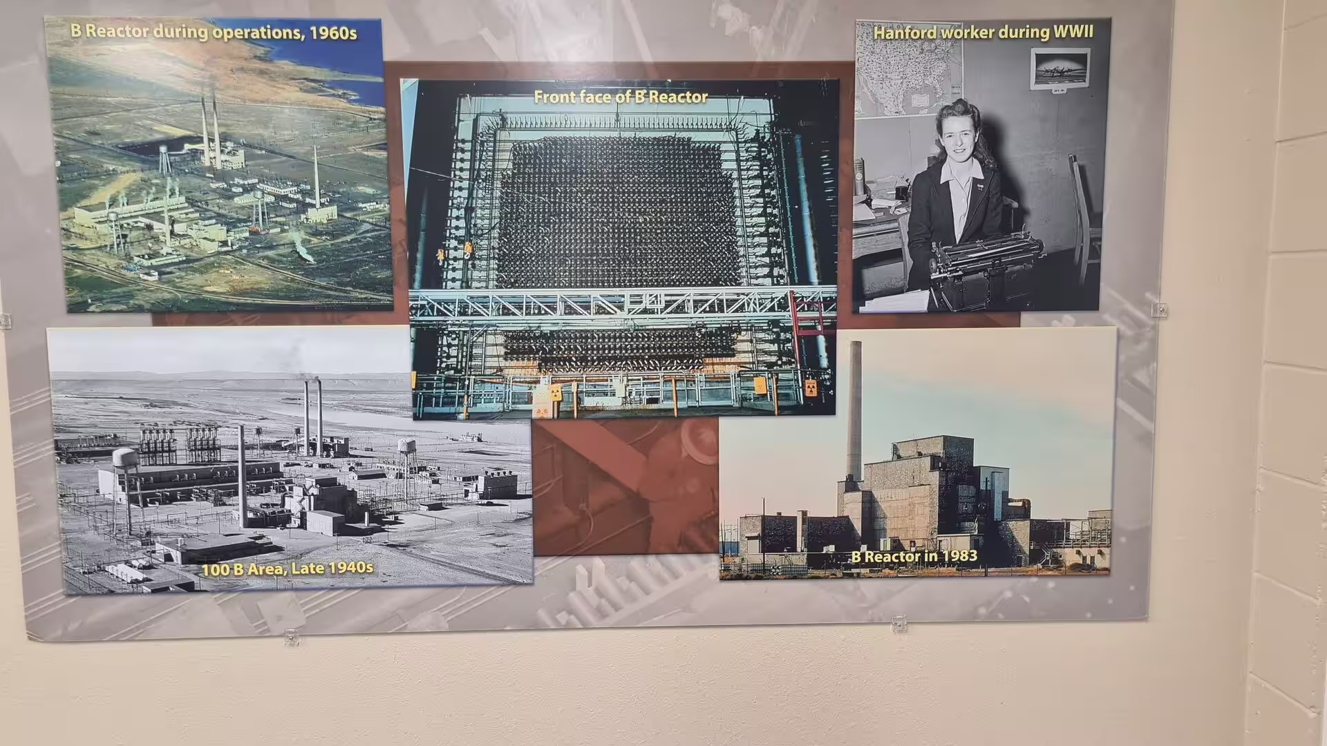
During the Second World War the region changed irrevocably. In 1943 the Army acquired 640 square miles of land along the Columbia for the Hanford Engineer Works of the Manhattan Project. Some 4,200 holdings were taken over, the towns of Hanford and White Bluffs were evacuated in March 1943, and Richland was rebuilt as a fenced government town whose population grew to about 25,000 within two years. The contractor DuPont built the B Reactor, the world’s first full-scale plutonium production reactor, which went critical on 26 September 1944; its plutonium fuelled the Trinity test of July 1945 and the bomb dropped on Nagasaki on 9 August 1945.
During the Cold War Hanford grew into a complex of nine production reactors and five chemical separation plants along the river, producing plutonium for a large part of the more than 60,000 weapons of the American nuclear arsenal. The reactors were shut down between 1964 and 1971, and in 1989 the federal government and the state of Washington signed the Tri-Party Agreement committing the site to the largest environmental clean-up in the United States; some 53 million gallons of high-level waste remain in 177 underground tanks.
The scientific infrastructure outlived the weapons programme. In 1965 the research laboratories of the site were organised as the Pacific Northwest Laboratory, operated by the Battelle Memorial Institute and renamed the Pacific Northwest National Laboratory in 1995. In 2000 President Clinton created the Hanford Reach National Monument from the untouched security buffer of the reservation, and in 2015 Hanford became one of the three units of the Manhattan Project National Historical Park, with Oak Ridge and Los Alamos.
Geology
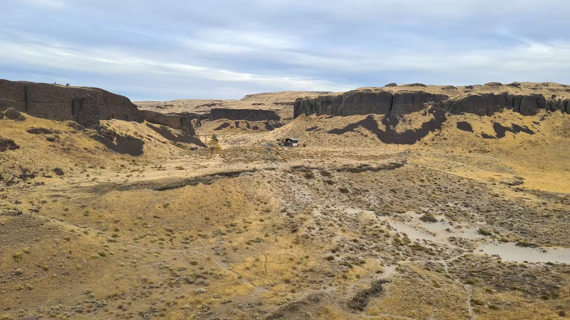
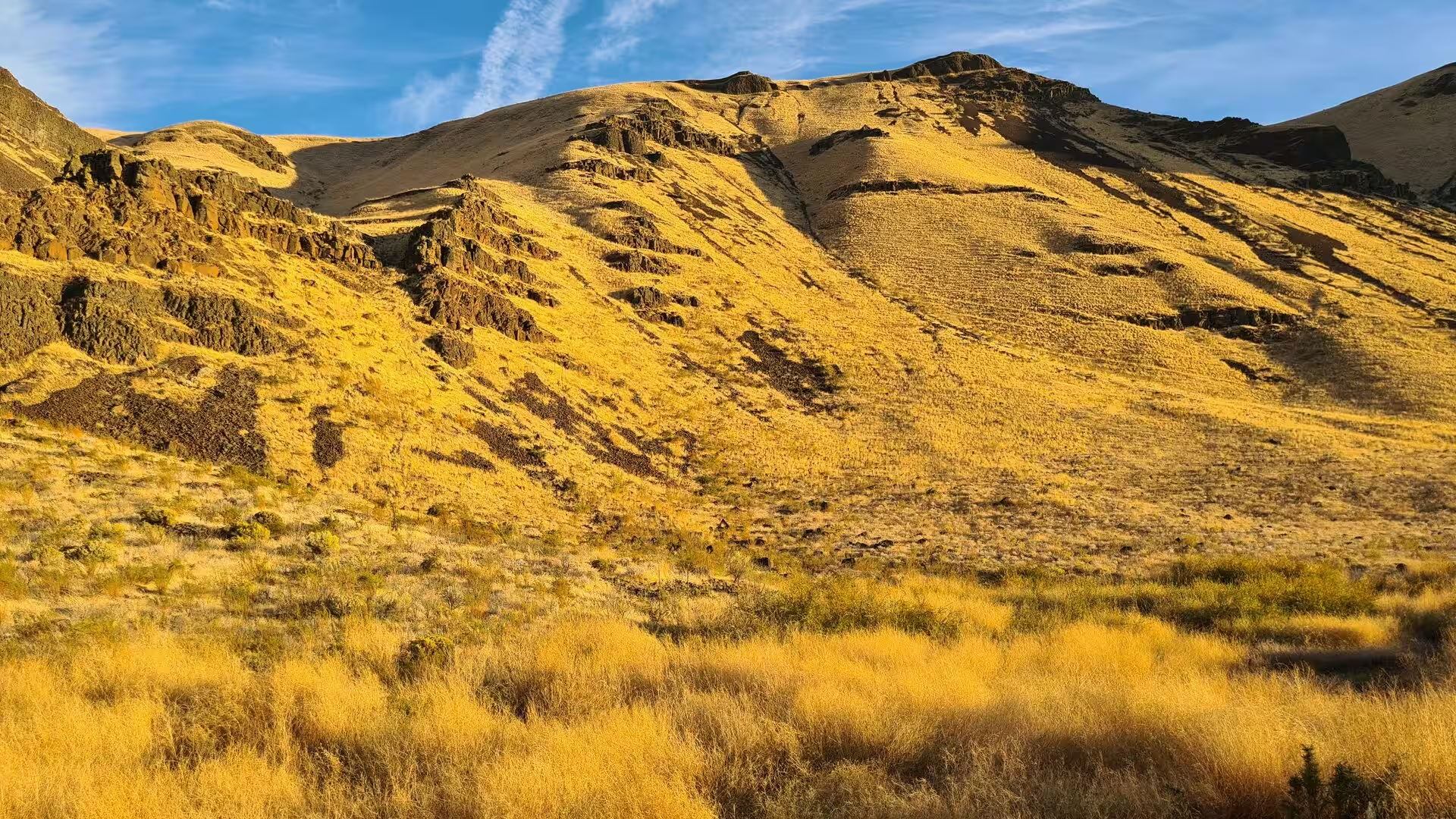
The geology of the Tri-Cities region is written large in the surrounding landscape. The Columbia Basin of south-eastern Washington is part of the Columbia Plateau, one of the great flood basalt provinces of the Earth, whose flat-topped ridges, columnar cliffs and dry canyons record two episodes of catastrophic violence: the outpouring of the lavas and, fourteen million years later, the floods of the last Ice Age.
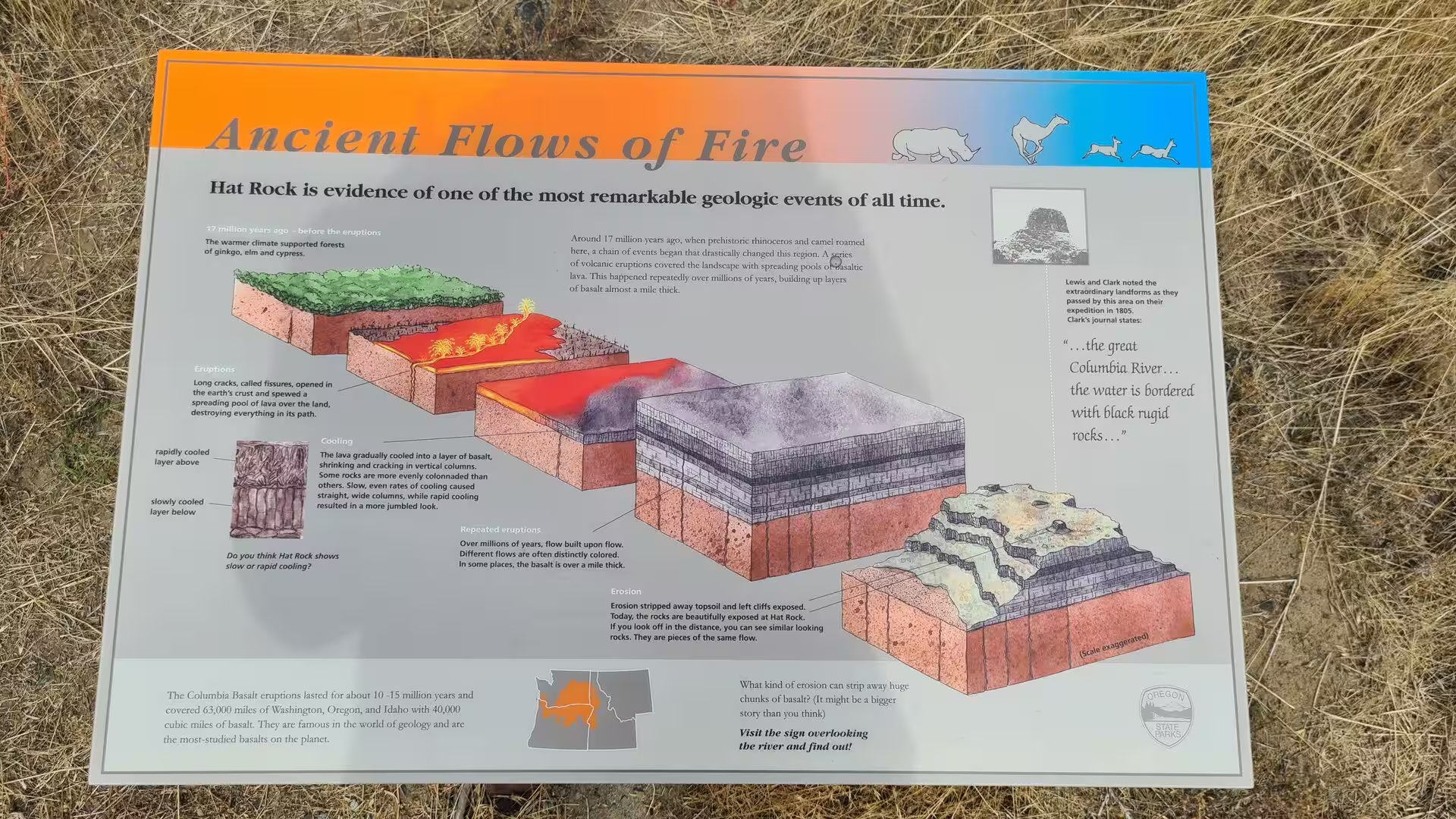
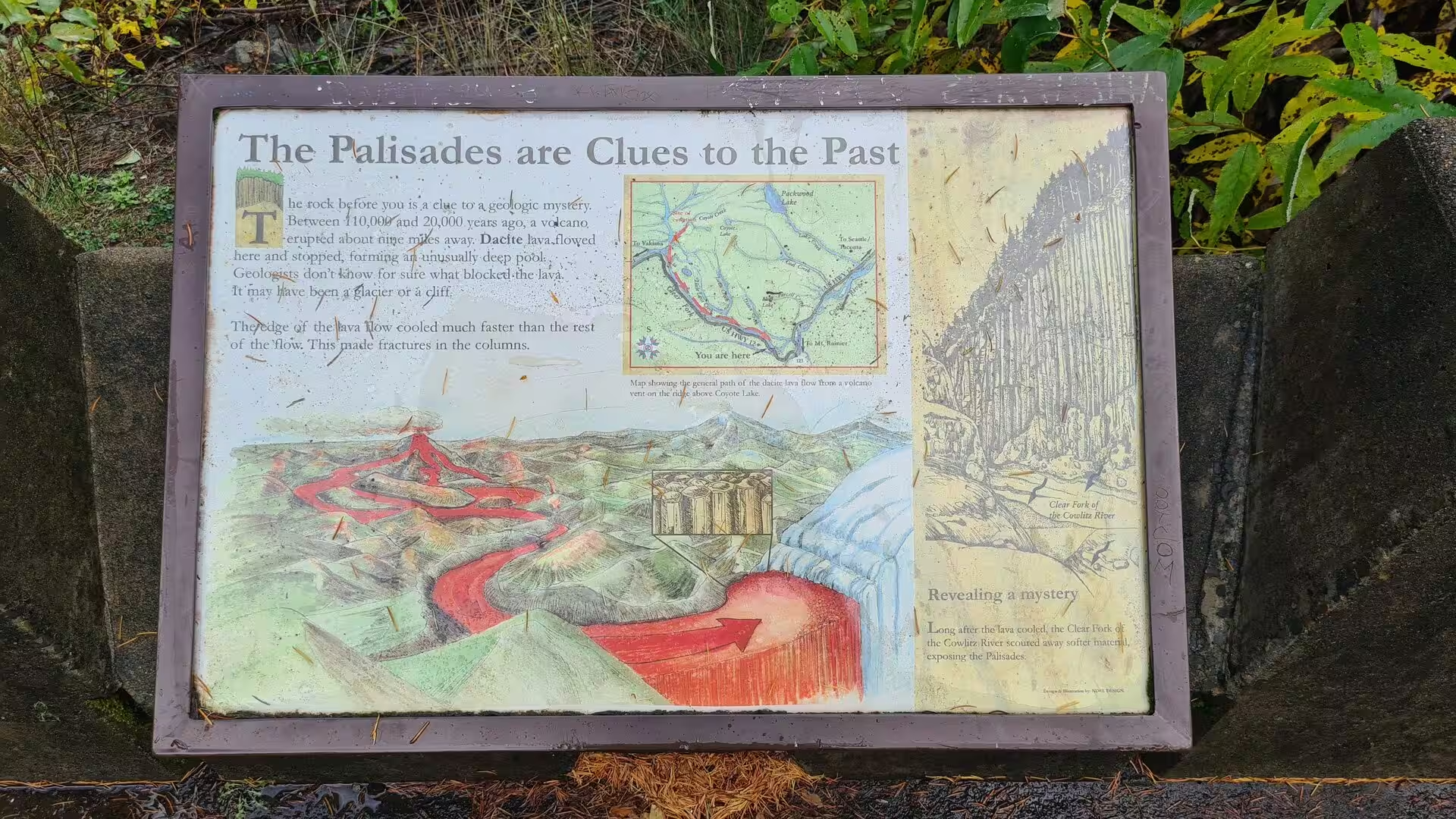
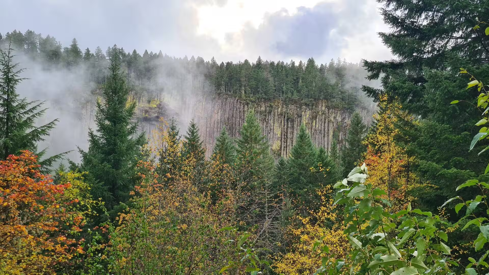
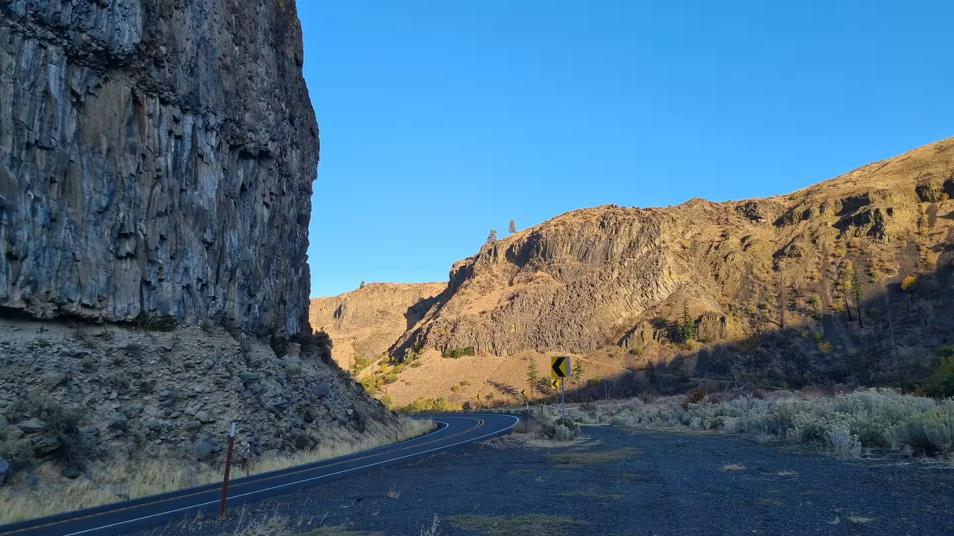
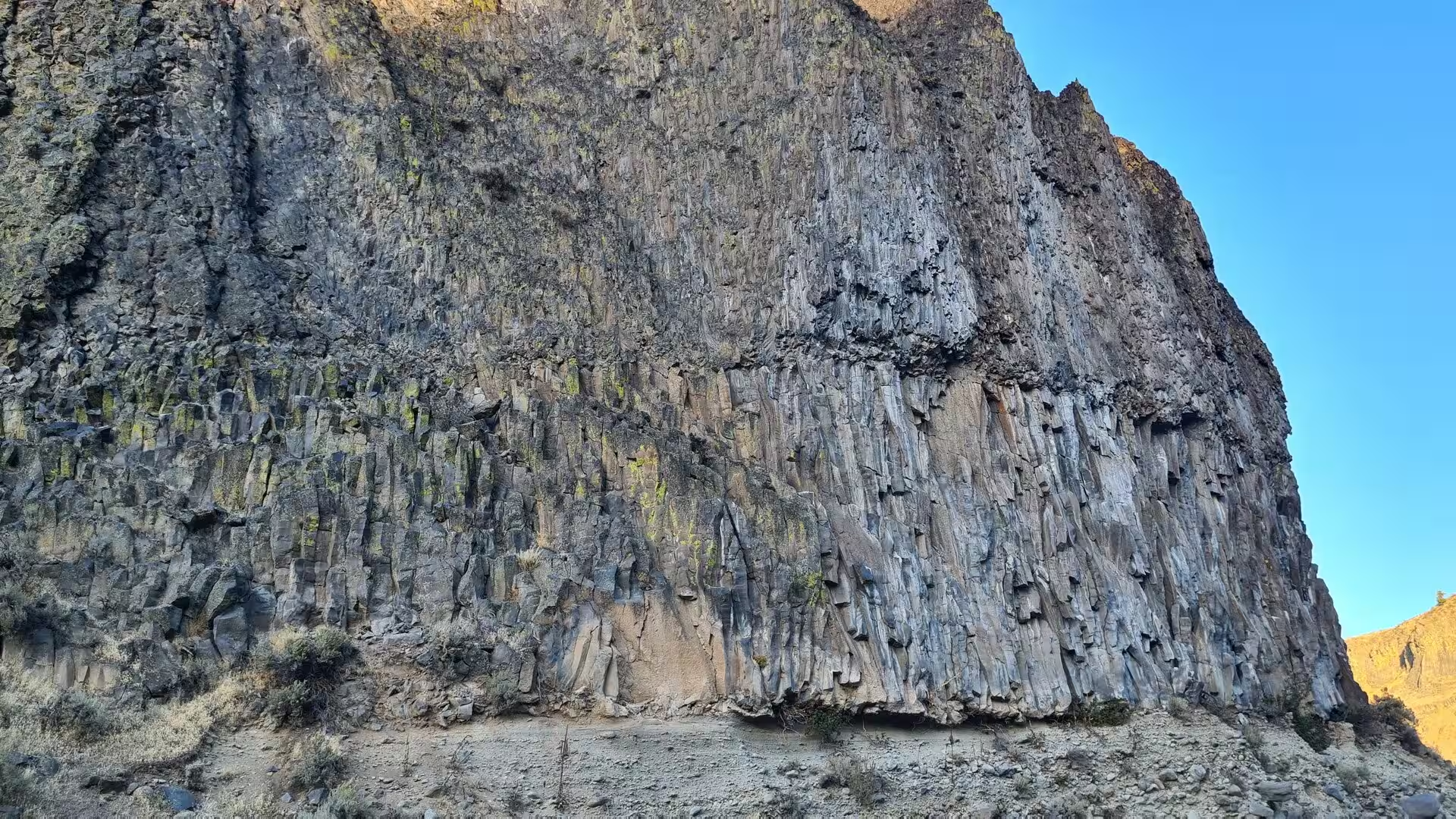
The basalt began to pour out about 17 million years ago in the Miocene epoch, when long fissure eruptions released unusually fluid lava across eastern Washington, Oregon and Idaho. Most of the lava was released between about 17 and 14 million years ago; the province covers some 163,700 square kilometres and holds an estimated 174,300 cubic kilometres of rock. Where the flows accumulated in the subsiding basin beneath the modern Tri-Cities they built up a stack more than two kilometres thick. As the lava cooled it contracted into the columns that stand in the cliffs along the river, and the individual flows form the layered walls of the canyons.
After the volcanism the landscape was gently folded into the long ridges of the Yakima Fold Belt, among them the Horse Heaven Hills south of the Columbia and Rattlesnake Mountain north-west of Richland. The ancestral Columbia laid down river and lake sediments, the Ringold Formation, up to 300 metres thick and dating from the late Miocene and Pliocene; its pale cliffs, the White Bluffs, still rise above the Hanford Reach. In the same period the river cut its passage through the rising folds at Wallula Gap, a water gap two kilometres wide that later played a decisive part in the flood history of the region.
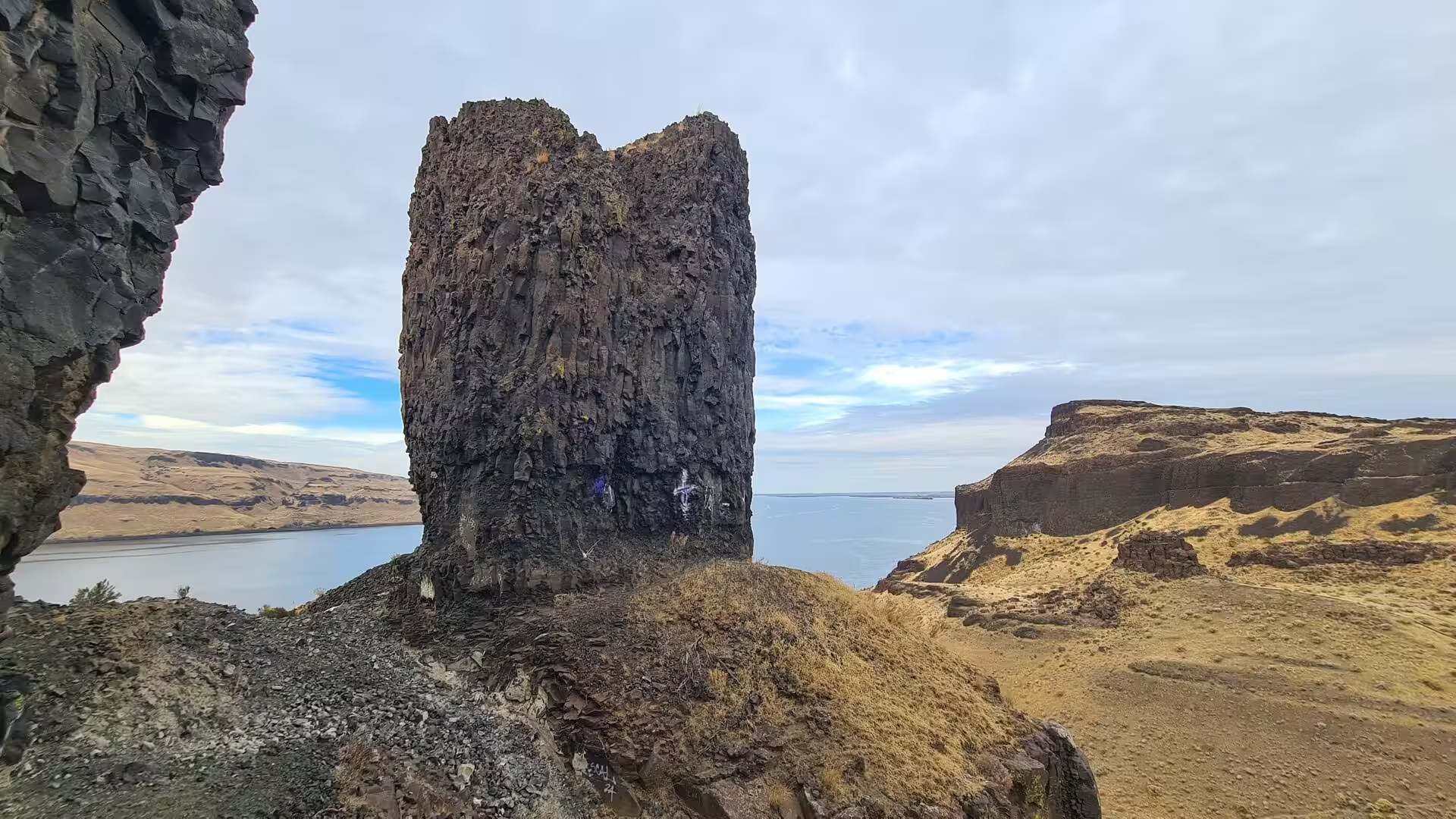
Between about 15,000 and 13,000 years ago, at the end of the last Ice Age, a glacier dammed the Clark Fork in western Montana and created glacial Lake Missoula. The ice dam burst repeatedly, and dozens of catastrophic floods swept across eastern Washington; the largest released an estimated 2.7 million cubic metres of water per second, some thirteen times the flow of the Amazon. At Wallula Gap the floodwaters met a narrow outlet, backed up across the Pasco Basin and drowned the site of the Tri-Cities beneath glacial Lake Lewis, whose waters reached about 380 metres above sea level. The floods stripped the soil from the basalt, carved the scablands of eastern Washington and left the flood-scoured towers and cliffs that line the Columbia below the three cities.
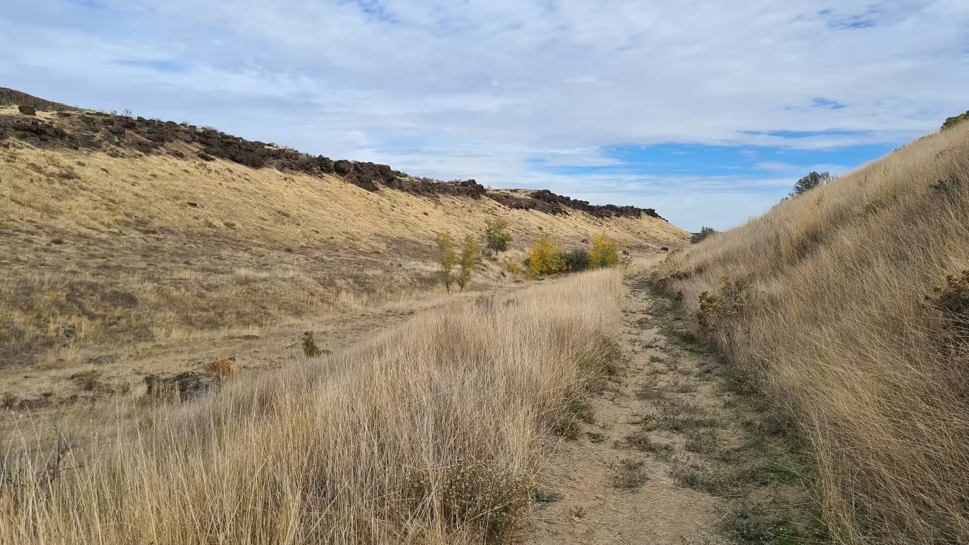
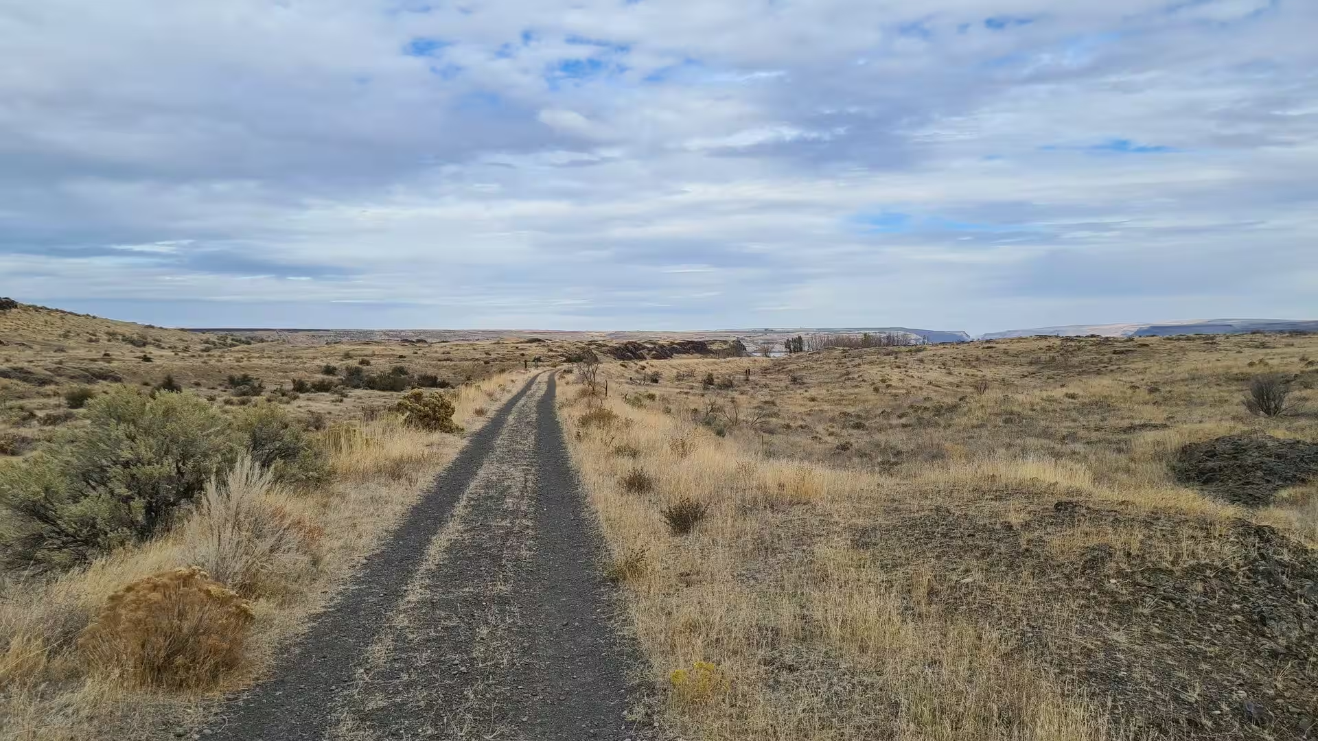
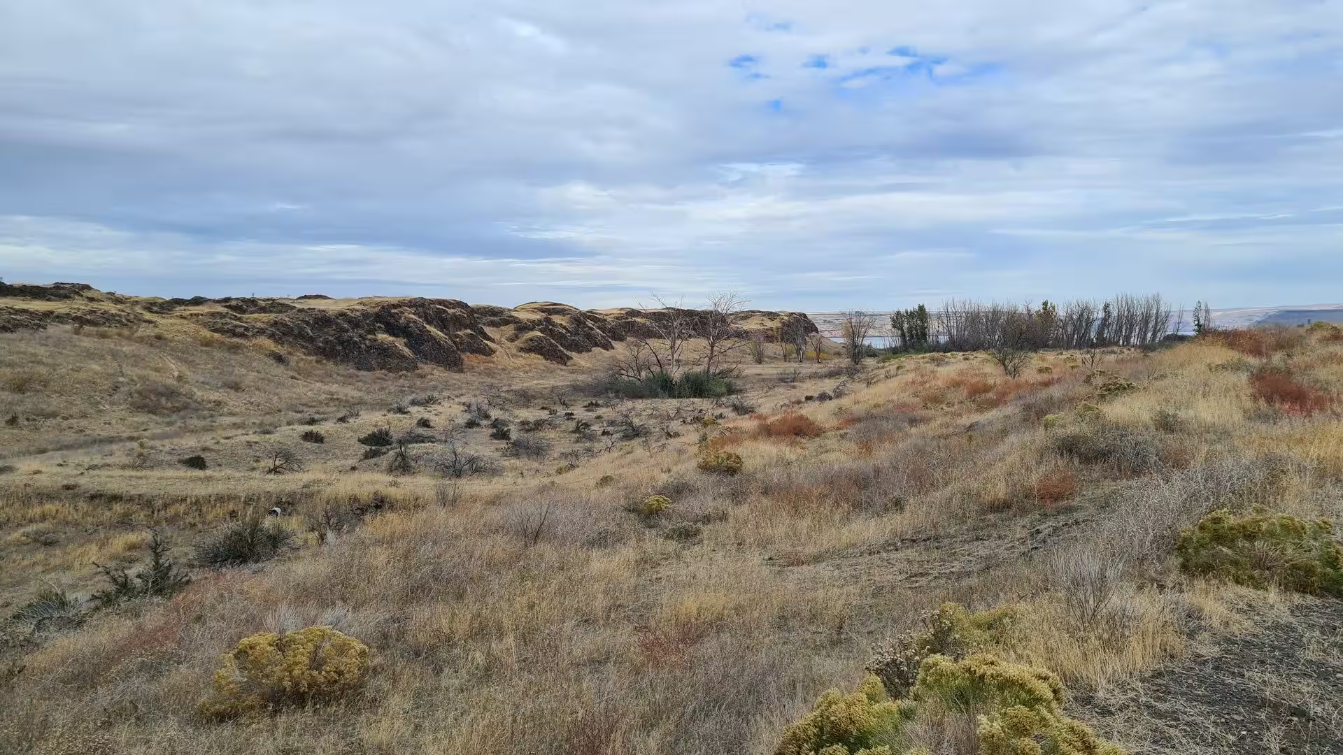
The modern landscape is the work of the rivers and the climate. The Cascade Range robs the Pacific winds of their moisture, leaving about 200 millimetres of rain a year and a natural vegetation of sagebrush, bunchgrass and drought-tolerant shrubs. The Columbia, now a stairway of reservoirs controlled by great dams, carries the irrigation water that has turned the floodplain into farmland, and the fertile silts of the valley floor support the orchards and vineyards around the cities. Above Richland the river still runs free in the Hanford Reach, the last undammed stretch of the Columbia in the United States.
Things to See
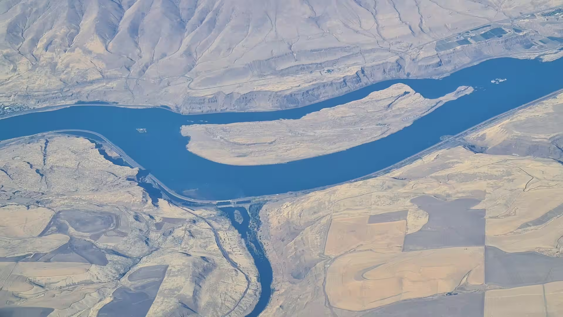
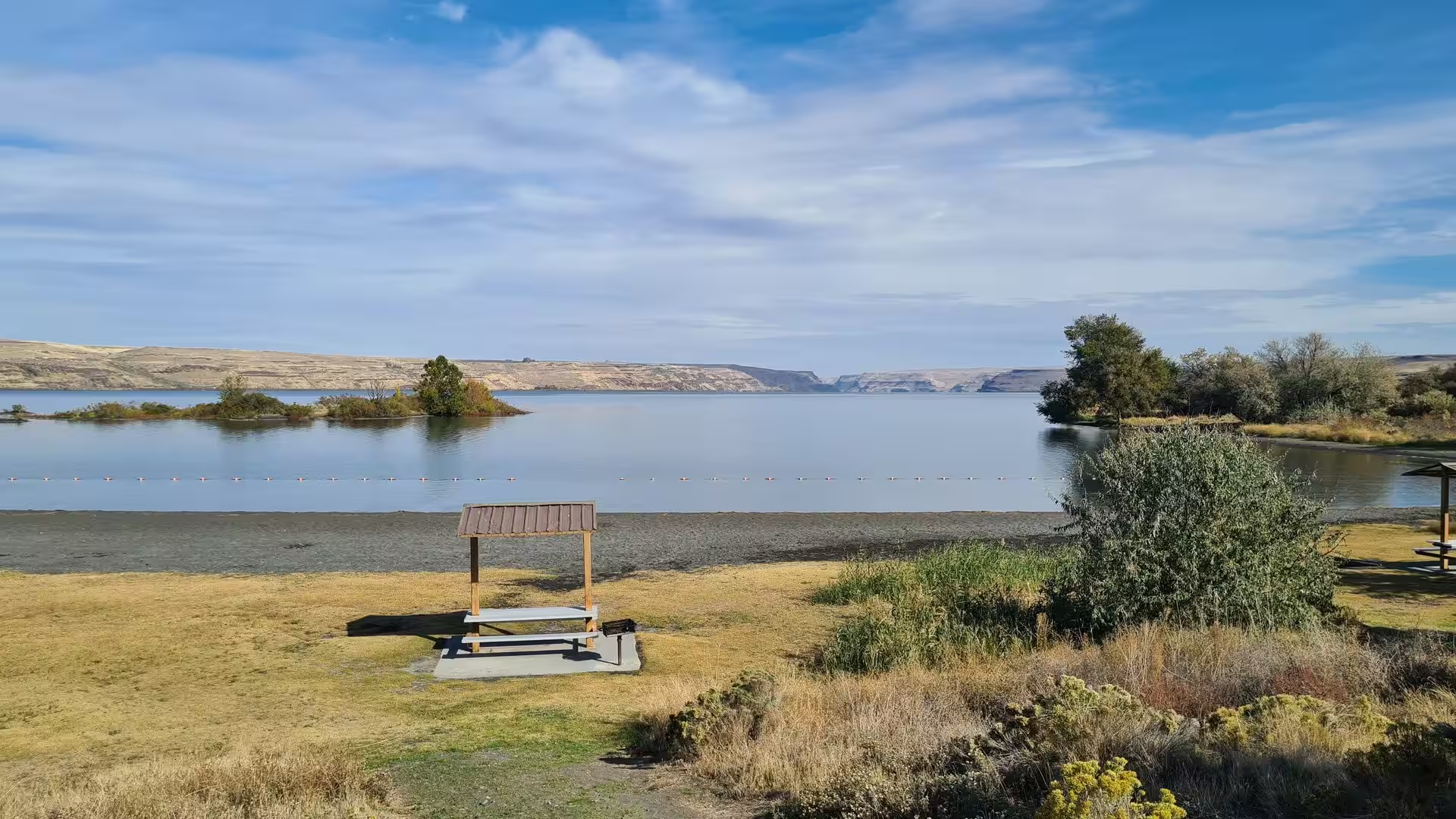
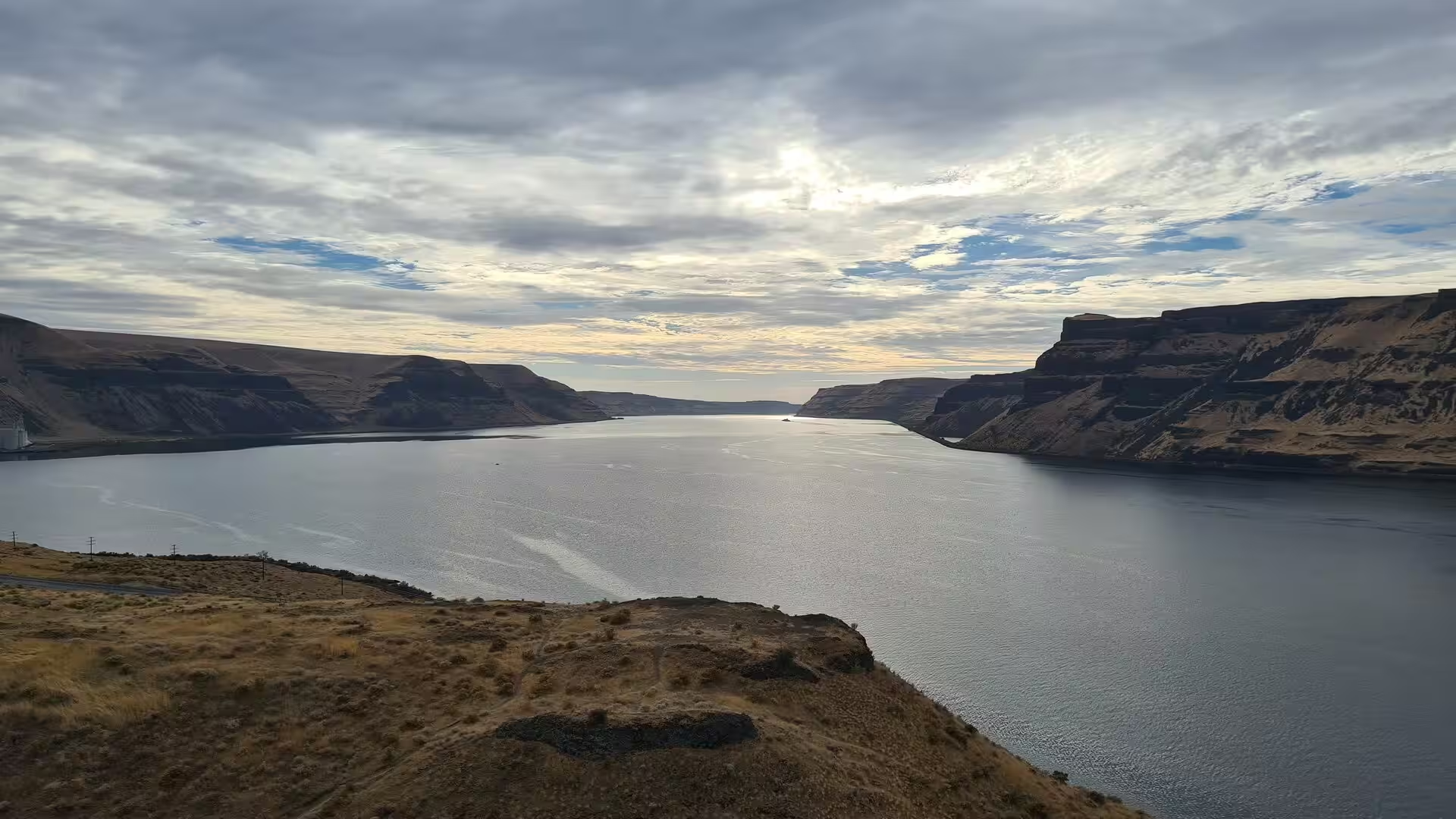
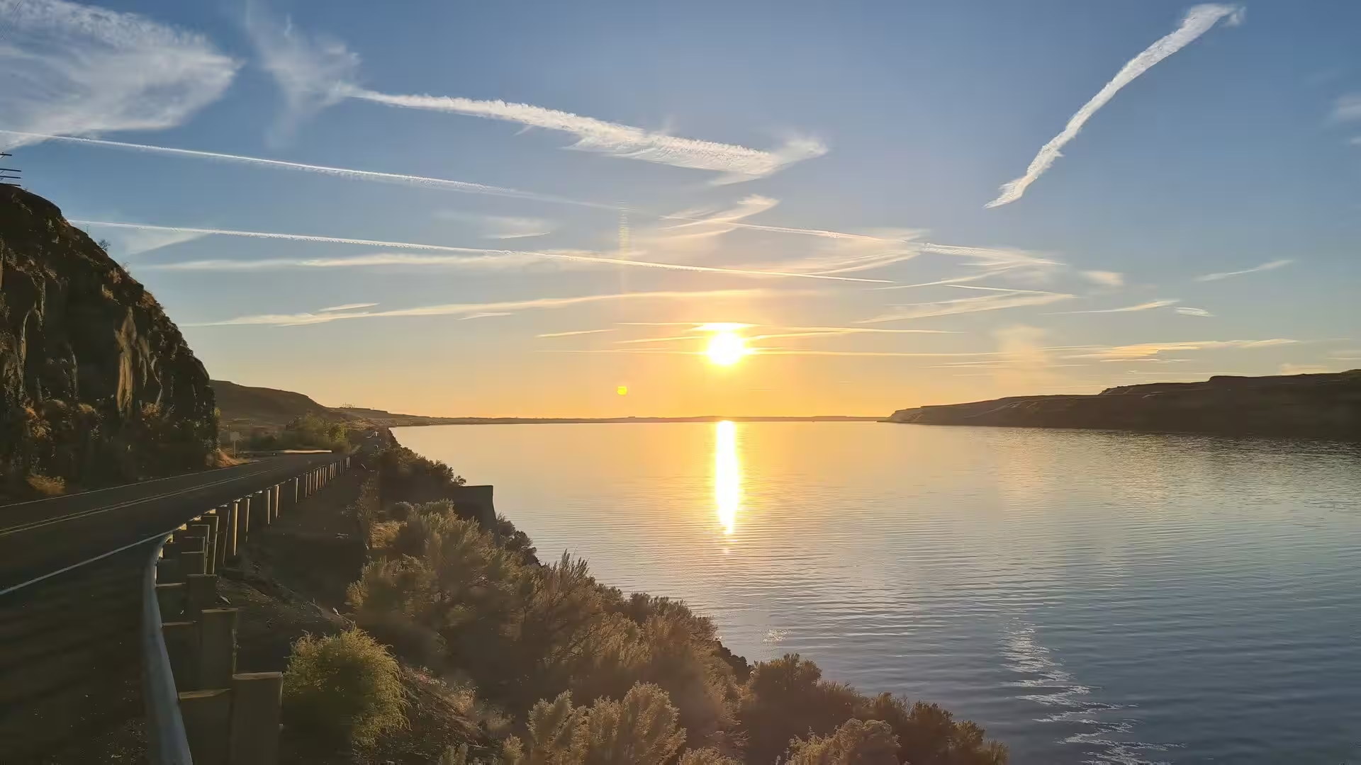
The Tri-Cities are best seen from the water, because the region is defined by its rivers: the Columbia from the north, the Snake joining it at Pasco, and the Yakima between Richland and Kennewick. The broad river that flows past the three cities is the reservoir of McNary Dam, and its shores are lined with marinas, boat ramps and parks. Kayakers and paddleboarders share the water with pleasure boats, anglers fish for salmon and steelhead in season, and riverside paths connect the whole waterfront.
The Sacagawea Heritage Trail is the spine of that waterfront: a paved path of 23 miles that loops around the three cities along the Columbia, counting its miles from Sacajawea State Park at the mouth of the Snake. It links the parks of the riverbanks, among them Columbia Park and Howard Amon Park in Richland, Chiawana Park in Pasco and the marina on Clover Island at Kennewick. Near its western end the Yakima enters the Columbia through a delta of islands and sloughs; Bateman Island, a low island of some 160 acres at the river mouth, and the surrounding marshland are among the best birdwatching grounds of the region.
Sacajawea State Park occupies the point at Pasco where the Snake flows into the Columbia. The 267-acre park preserves the camp site of the Lewis and Clark Expedition of October 1805, and its interpretative centre, built by the Works Progress Administration in 1938, tells the story of the expedition, of the peoples of the river and of Sacagawea, after whom the park and the trail are named.
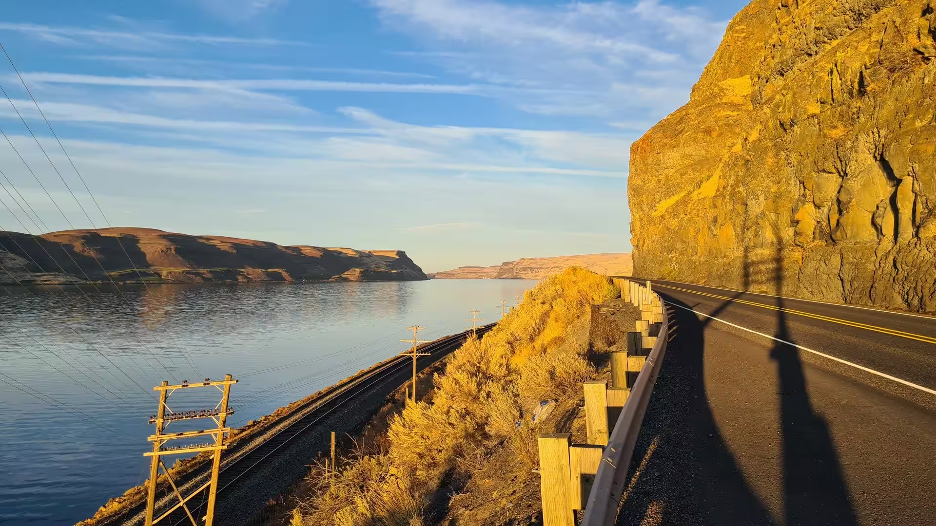
Below the Tri-Cities the Columbia passes through Wallula Gap, the narrow water gap where the river cuts the folded basalt of the Horse Heaven Hills. The gap, a National Natural Landmark, is the classic place to read the flood history of the region: its walls of lava were scoured and enlarged by the Missoula floods, and the flood-carved towers known as the Twin Sisters stand beside the channel. Roads follow the river through the canyon on both banks, and in the evening the basalt walls turn gold in the low sun.
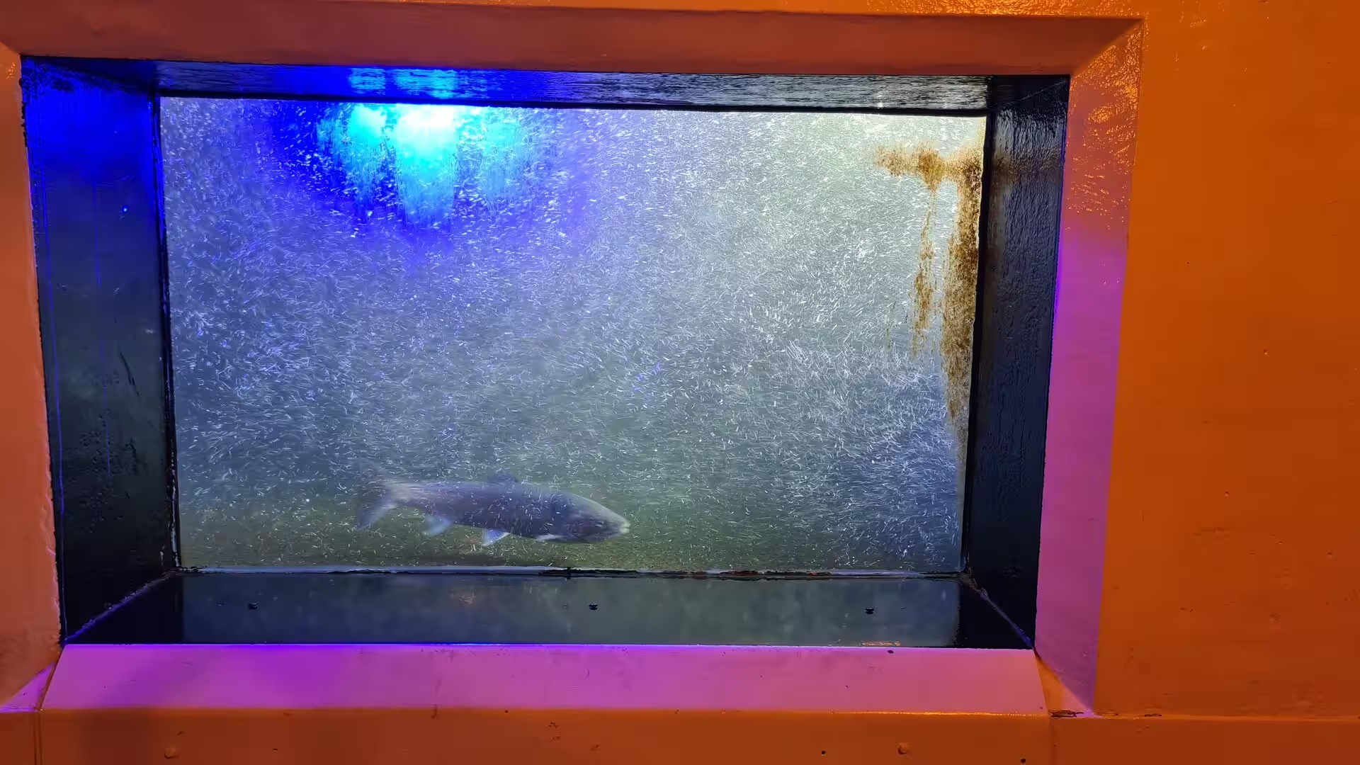
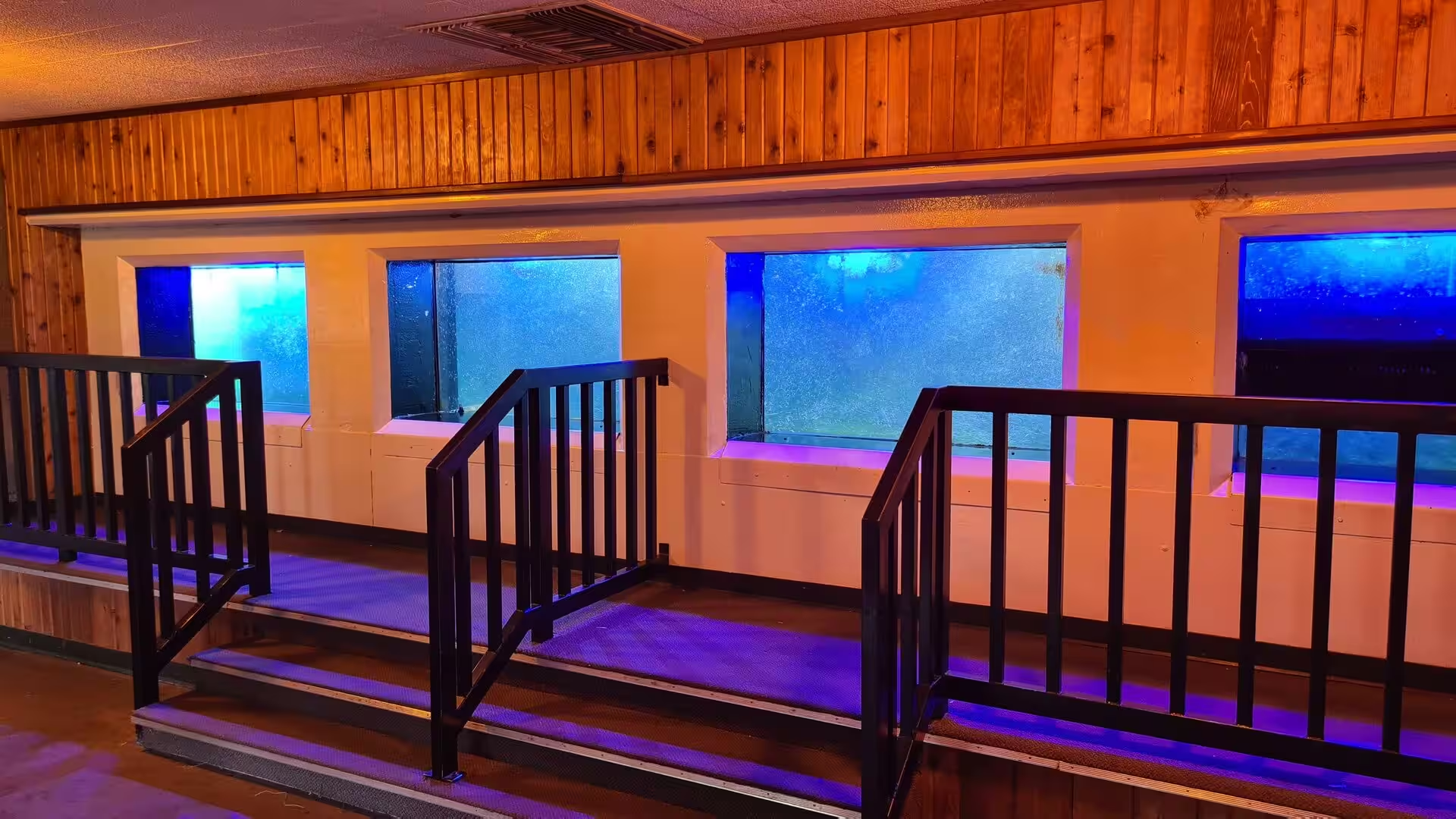
About an hour downstream, at Umatilla in Oregon, McNary Dam spans the Columbia. Completed by the Army Corps of Engineers in 1954, it is the nearest of the great mainstem dams below the Tri-Cities, and its Pacific Salmon Visitor Information Centre includes a fish-viewing room whose windows look into the fish ladder, where migrating salmon and steelhead pass. Upstream of the dam, the McNary National Wildlife Refuge protects the sloughs and islands between the mouths of the Snake and the Walla Walla; the refuge is an important wintering ground of the waterfowl of the Pacific flyway.
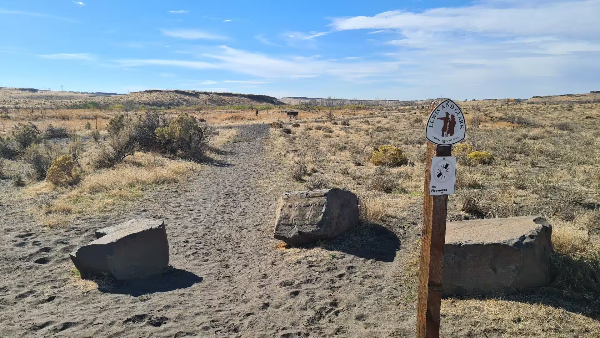
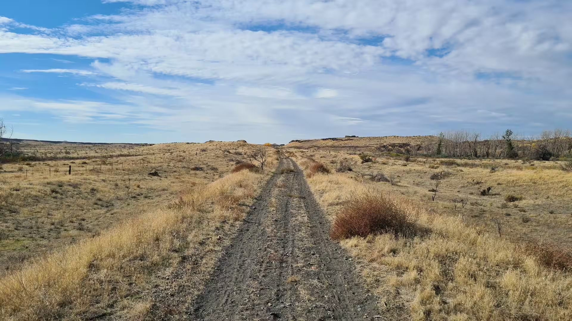
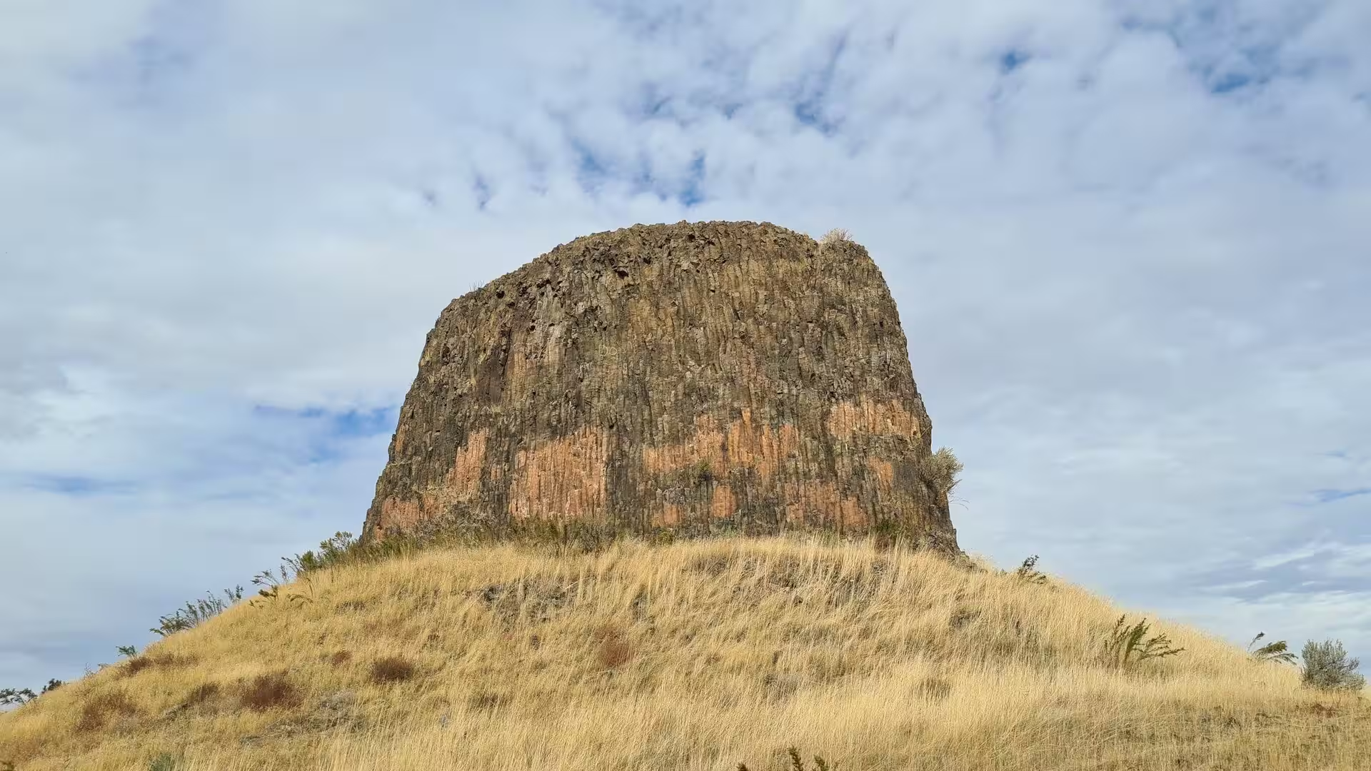
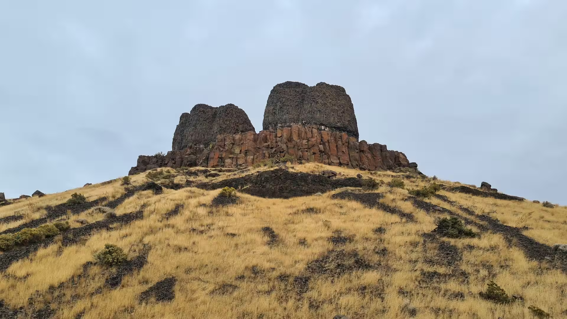
Hat Rock State Park lies on the Oregon shore of Lake Wallula, the reservoir behind McNary Dam. The park takes its name from Hat Rock, a 70-foot basalt monolith on the shore; William Clark noted on 19 October 1805 that it resembled a hat, and it is one of the few landmarks of the lower river never submerged by the reservoirs. The rock is a remnant of a basalt flow some 12 million years old, left standing when the Ice Age floods stripped the softer rock away, and interpretative panels at the trailhead explain the lava flows. Trails cross the dry grasslands, and the Lewis and Clark National Historic Trail runs through the surrounding shrub-steppe.
The military and scientific history of the region is interpreted in the museums of Richland. The REACH Museum tells the natural and human history of the mid-Columbia from the Ice Age to the Atomic Age, with galleries on the geology and wildlife of the basin, on agriculture and on the Manhattan Project, including displays on the construction and operation of the B Reactor. The Hanford Visitor Center presents the exhibits and films of the site and starts the Department of Energy tours of Hanford; when the B Reactor, a National Historic Landmark since 2008, is not closed for preservation work, the tours take visitors to the world’s first full-scale plutonium production reactor. North of Richland the Hanford Reach National Monument protects the last free-flowing stretch of the Columbia in the United States, some 51 miles of river where fall chinook salmon still spawn and the white bluffs rise above the water.
References
- Gerber, M. S. (1992). Legend and Legacy: Fifty Years of Defense Production at the Hanford Site. Richland, WA: Westinghouse Hanford Company.
- Allen, J. E., Burns, M. and Burns, S. (2009). Cataclysms on the Columbia: The Great Missoula Floods. Revised edition. Portland, OR: Ooligan Press.
- REACH Museum (2026). The REACH Museum, Richland, Washington. visitthereach.us/
- National Park Service (2026). Manhattan Project National Historical Park, Hanford Unit. www.nps.gov/mapr/index.htm
- Washington State Parks (2026). Sacajawea Historical State Park, Pasco. parks.wa.gov/find-parks/state-parks/sacajawea-historical-state-park
- Wikipedia contributors (2026). Hanford Site (English). en.wikipedia.org/wiki/Hanford_Site
- Wikipedia contributors (2026). B Reactor (English). en.wikipedia.org/wiki/B_Reactor
- Wikipedia contributors (2026). Hanford Reach National Monument (English). en.wikipedia.org/wiki/Hanford_Reach_National_Monument
- Wikipedia contributors (2026). Manhattan Project National Historical Park (English). en.wikipedia.org/wiki/Manhattan_Project_National_Historical_Park
- Wikipedia contributors (2026). Kennewick Man (English). en.wikipedia.org/wiki/Kennewick_Man
- Wikipedia contributors (2026). Hat Rock State Park (English). en.wikipedia.org/wiki/Hat_Rock_State_Park
- Wikipedia contributors (2026). Wallula Gap (English). en.wikipedia.org/wiki/Wallula_Gap
- Wikipedia contributors (2026). Columbia River Basalt Group (English). en.wikipedia.org/wiki/Columbia_River_Basalt_Group
- Wikipedia contributors (2026). Missoula Floods (English). en.wikipedia.org/wiki/Missoula_Floods
- Wikipedia contributors (2026). Sacagawea Heritage Trail (English). en.wikipedia.org/wiki/Sacagawea_Heritage_Trail