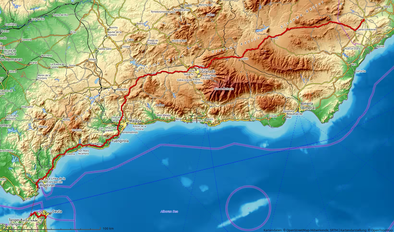
A long travel day from Lorca in southeastern Spain to Fnideq in northern Morocco. The route crosses the dry interior of southern Spain, passes the high landscapes of Andalusia, descends toward the Costa del Sol, reaches the ferry port of Algeciras, crosses the Strait of Gibraltar to Ceuta, and ends on the Moroccan side near Fnideq. It is a journey of changing landscapes, long roads, port waiting, and the memorable transition from Europe to Africa.
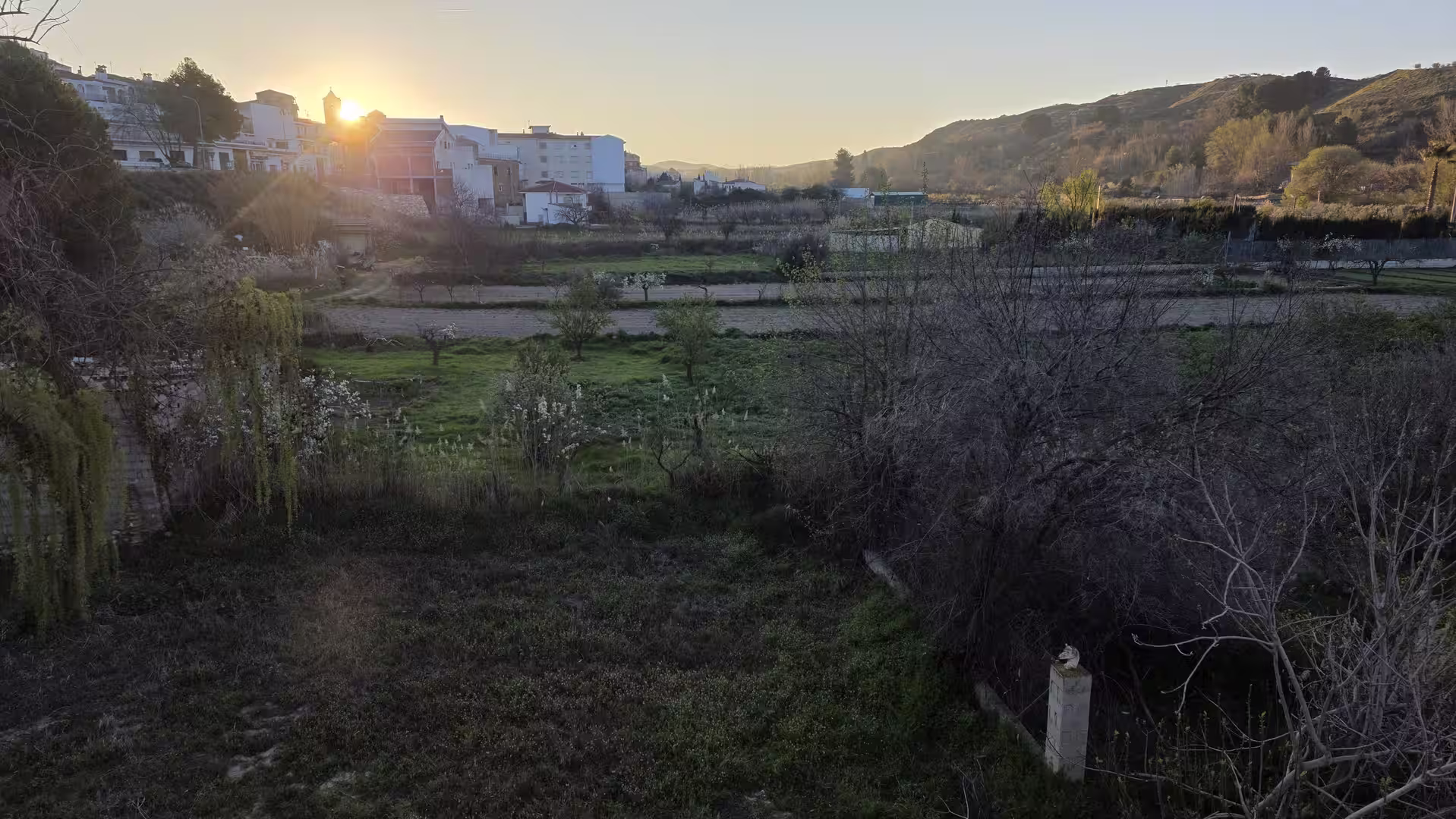
The journey began early in the morning near Lorca, in southeastern Spain. The first light of the day found the route already pointing west, away from the dry landscapes of the Region of Murcia and toward the long crossing of Andalusia. It was the start of a demanding but fascinating travel day: more than 500 kilometers by road and ferry, from inland southeastern Spain to the northern edge of Morocco.
At the beginning, the landscape was still typically Murcian. The road passed through a dry, open environment of hills, cultivated valleys, pale earth, and wide views. This part of Spain has a sparse and almost austere beauty. The terrain is not empty, but it feels spacious. Towns and villages appear at intervals, while the road moves between agricultural land, low mountains, and dry riverbeds.
Leaving the Lorca area behind, the route continued westward into increasingly higher terrain. The GPS track shows a clear rise in elevation during the early part of the journey. The road climbed through inland landscapes, moving away from the Mediterranean coastal plain and into the higher interior of southeastern Spain. This gave the first part of the day a distinctly upland character.
The morning drive crossed a long section of southern Spain that feels remote compared with the coastal resorts further south. The road passed through wide inland spaces, dry hills, and elevated plateaus. Around the first major part of the journey, the elevation increased considerably, reaching more than 1,000 meters above sea level. This made the route feel less like a coastal transfer and more like a crossing of the interior.
The first short pauses came during this early stage. One stop occurred shortly after departure, still close to the starting area, and another longer pause took place later in the morning in the higher inland landscape. These breaks gave the journey a natural rhythm: an early start, a steady westbound drive, a climb into higher terrain, and short moments of rest before continuing across Andalusia.
As the route moved farther west, the landscape changed again. The road approached the area around Guadix and Granada, where the scenery becomes broader and more mountainous. This is one of the most impressive transitions of the day. The dry southeastern landscapes gradually give way to the high interior of Andalusia, with distant mountain ranges, wide valleys, and the sense of crossing a large geographic threshold.
The route reached its highest part during this inland section, with the GPS track recording elevations of more than 1,300 meters. This was the highest point of the entire day. From here, the journey began to feel like a passage through the backbone of southern Spain. The road was fast in parts, but the changing elevation and the surrounding mountains made the drive visually rich.
The area around Granada marked another important stage. Even without entering the city center, the route passed through a region strongly shaped by the mountains and the high plains of Andalusia. The landscape here is more dramatic than the lowlands near the coast. There are broad views, ridges in the distance, and a sense of moving through one of Spain’s great interior corridors.
After this highland section, the route gradually began to descend. The road turned southwest, leaving the higher interior behind and moving toward the Mediterranean side of Andalusia. This descent changed the atmosphere of the journey. The dry uplands gave way to lower, warmer landscapes, and the road began to lead toward the Costa del Sol.
By late morning, the route reached the wider Málaga and Costa del Sol region. The landscape became more urbanized and more coastal. After hours of interior driving, this change was immediately noticeable. The road was no longer crossing open highlands. It now moved through one of the busiest coastal corridors in southern Spain, with towns, traffic, infrastructure, and the Mediterranean atmosphere returning strongly.
A longer stop took place in this coastal region, shortly before the route continued farther west. This was a sensible moment for a break. The journey had already covered a large distance from Lorca across the interior of Andalusia, and the next section would continue along or near the southern Spanish coast toward the Strait of Gibraltar.
The drive west from the Málaga region toward Algeciras had a different character from the earlier inland sections. The route followed the general direction of the Costa del Sol, passing through a landscape shaped by tourism, coastal development, hills, and the Mediterranean Sea. The road here was more connected to towns and infrastructure, but the mountains were still present in the background.
As the route continued toward the southwest, it approached Marbella and then the western Costa del Sol. This part of the journey felt more densely settled and more international than the morning’s interior landscapes. Resorts, urban areas, coastal roads, and hillside developments created a strong contrast with the quiet, dry uplands crossed earlier in the day.
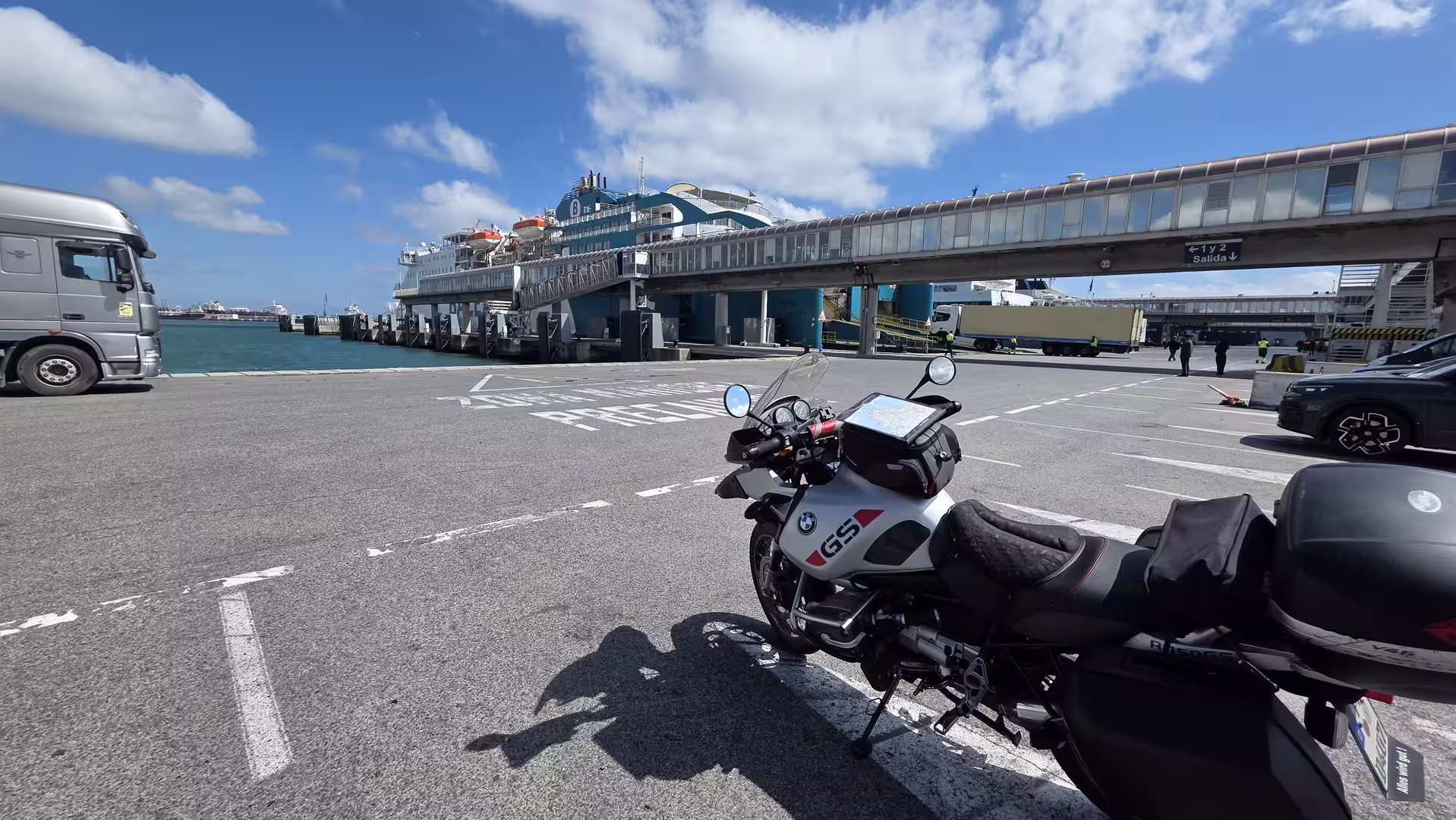
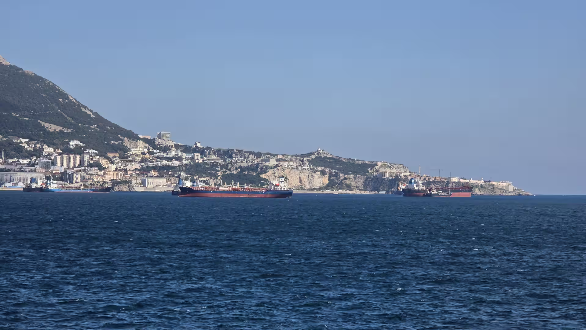
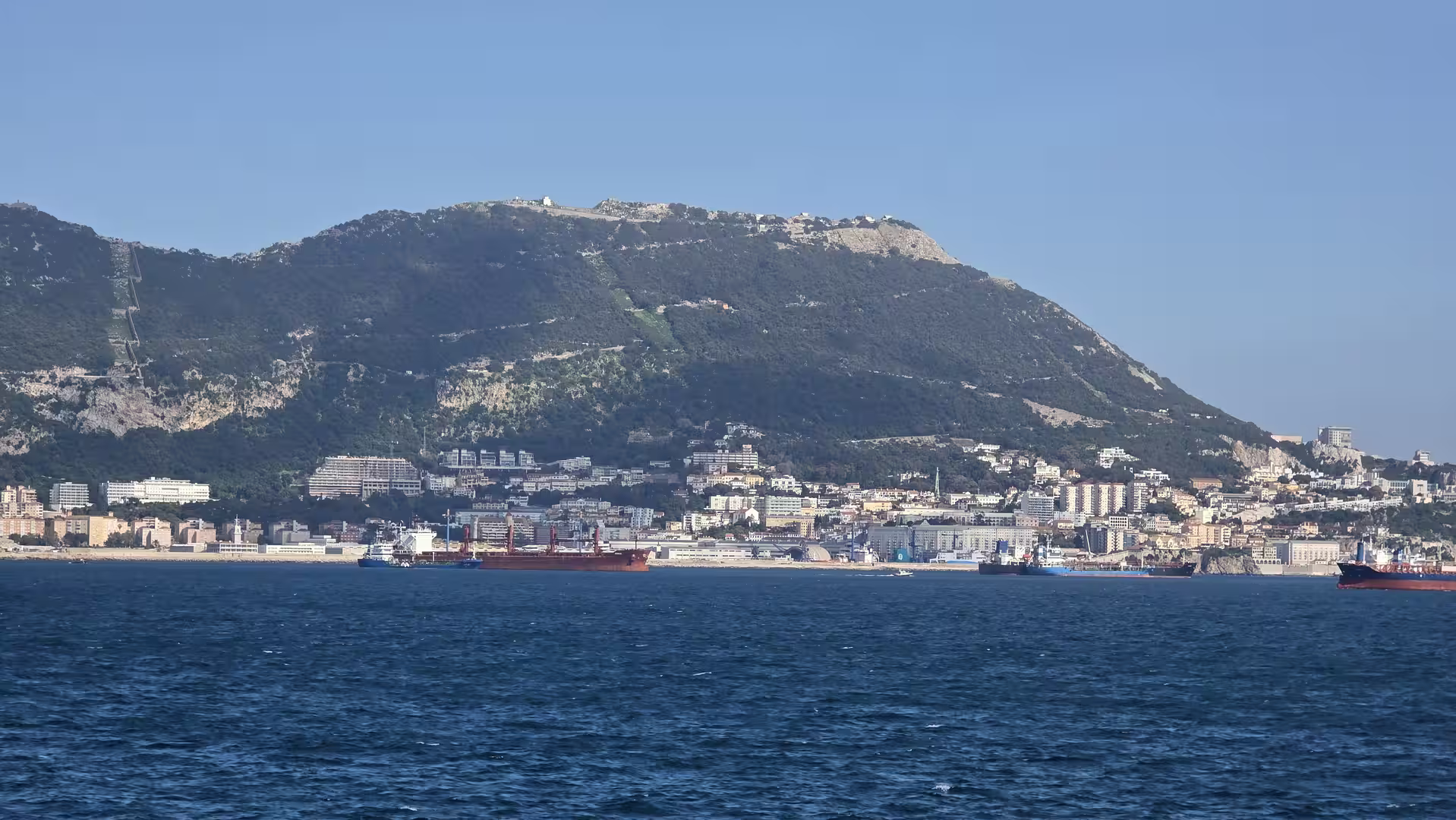
Beyond the Costa del Sol, the route moved toward the Strait of Gibraltar. This final Spanish road section had a clear sense of destination. The landscape began to point toward the meeting place of Europe and Africa. The road approached Algeciras, one of the most important ferry ports in southern Spain and a gateway to Morocco.
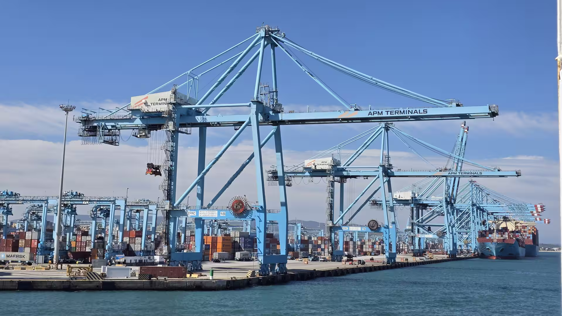
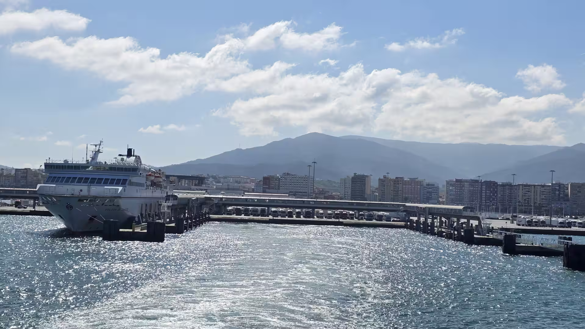
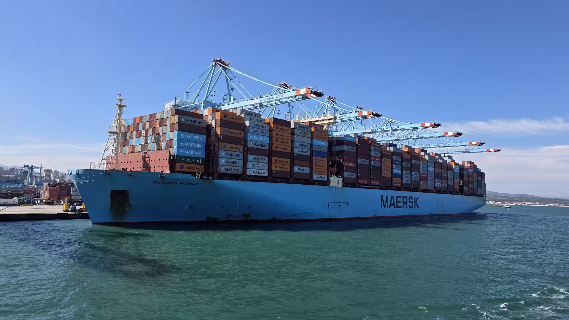
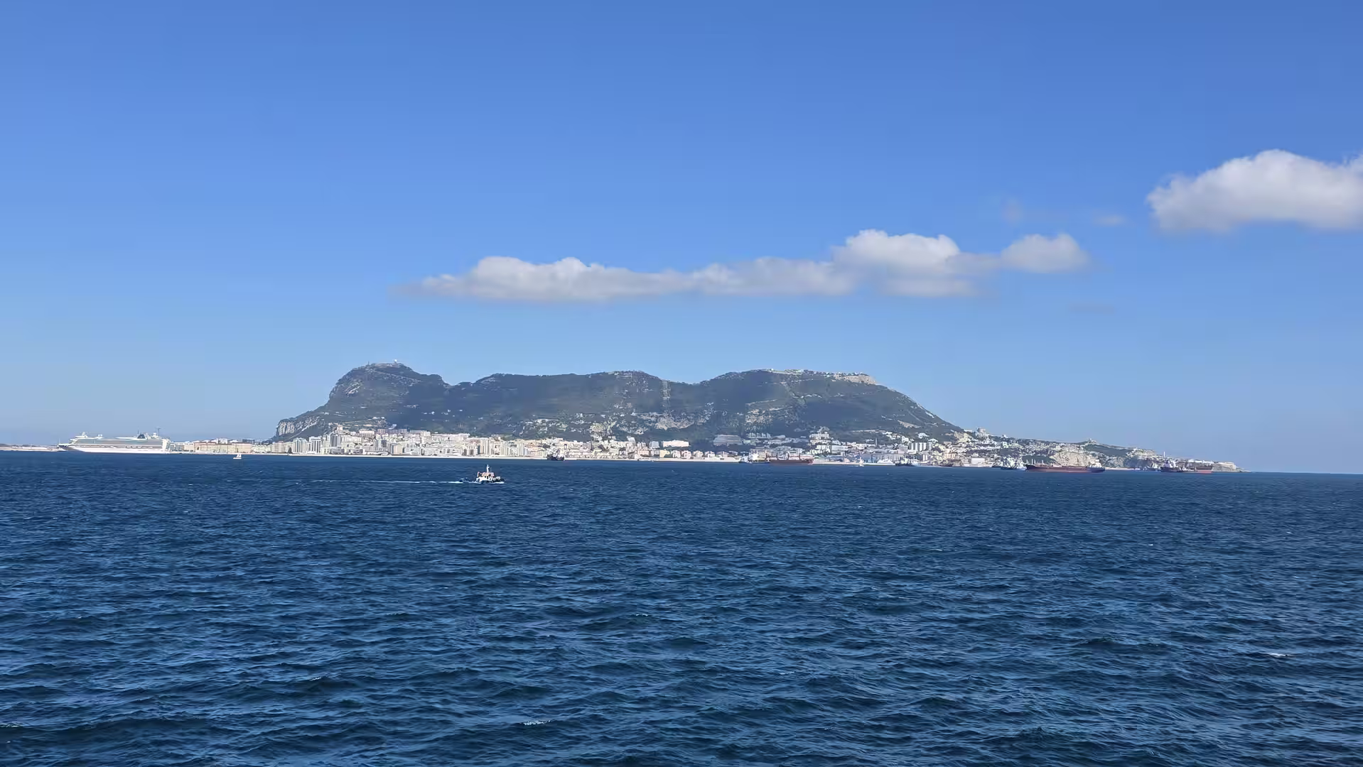
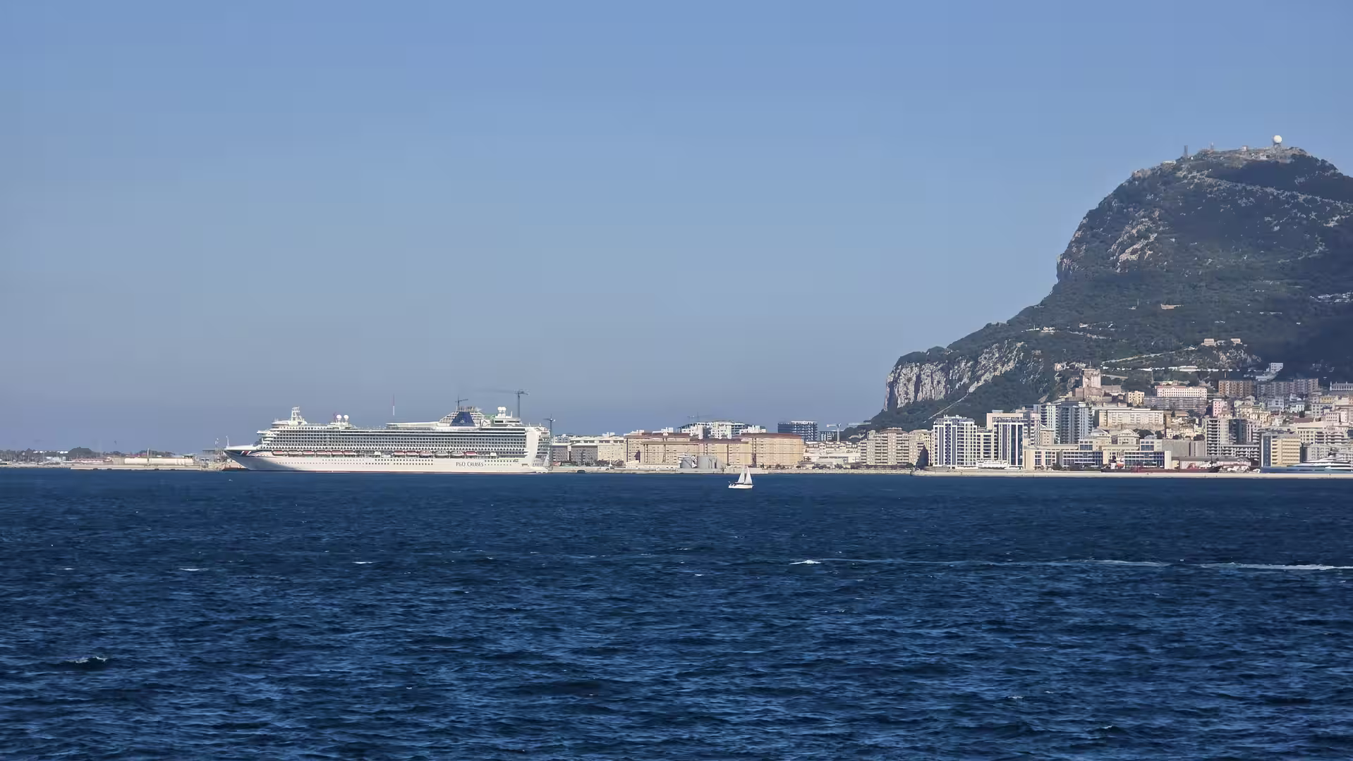
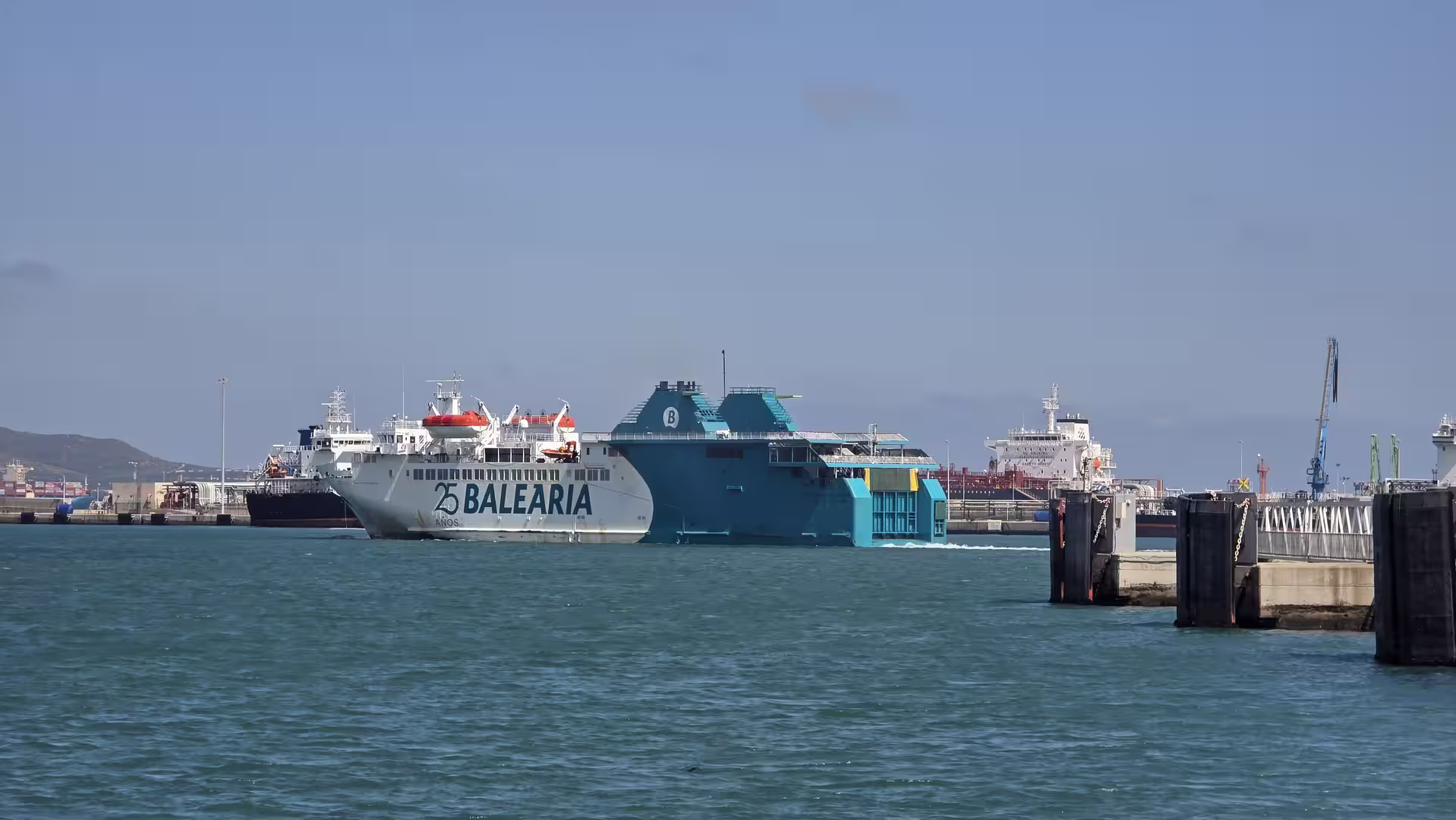
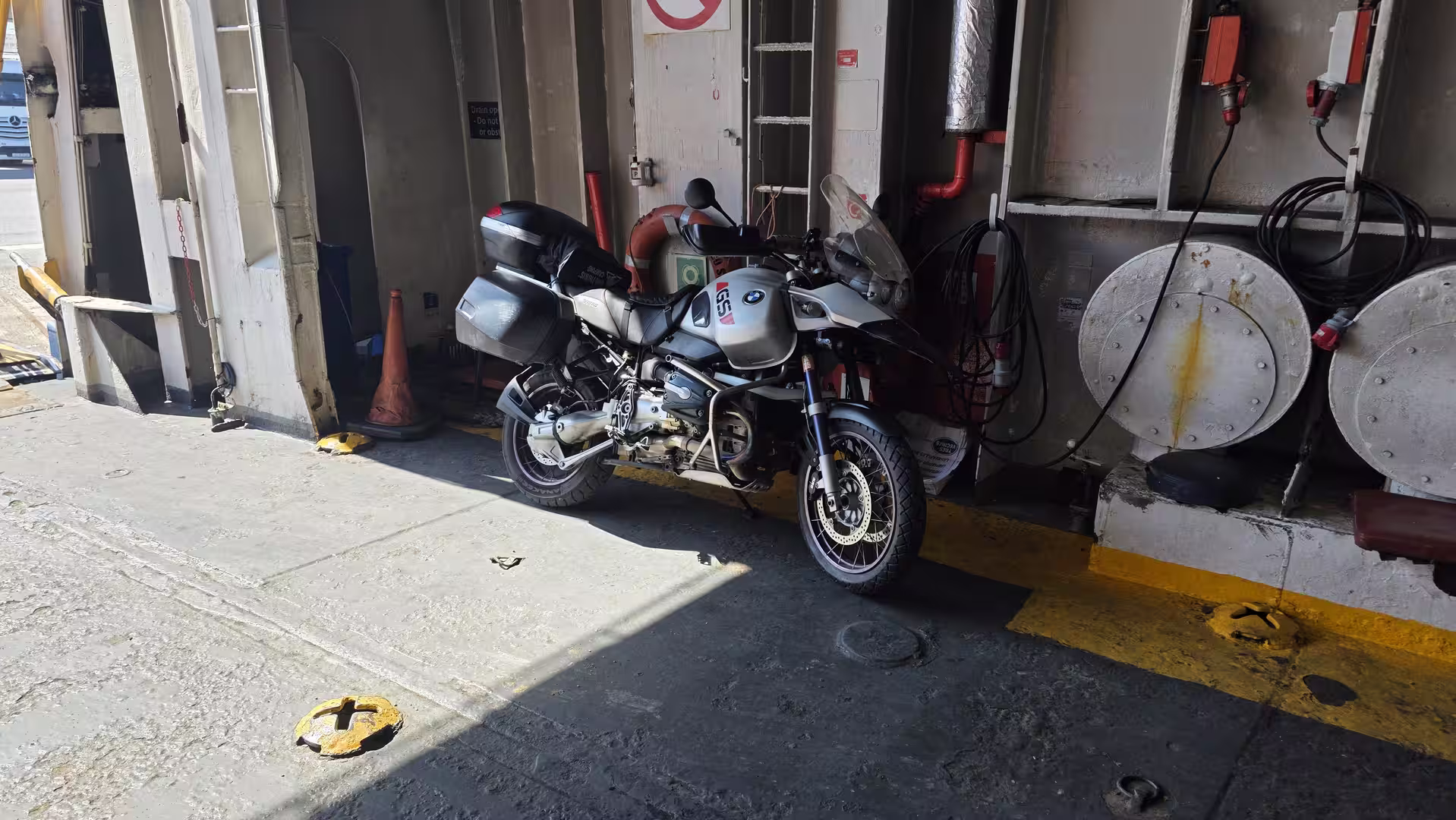
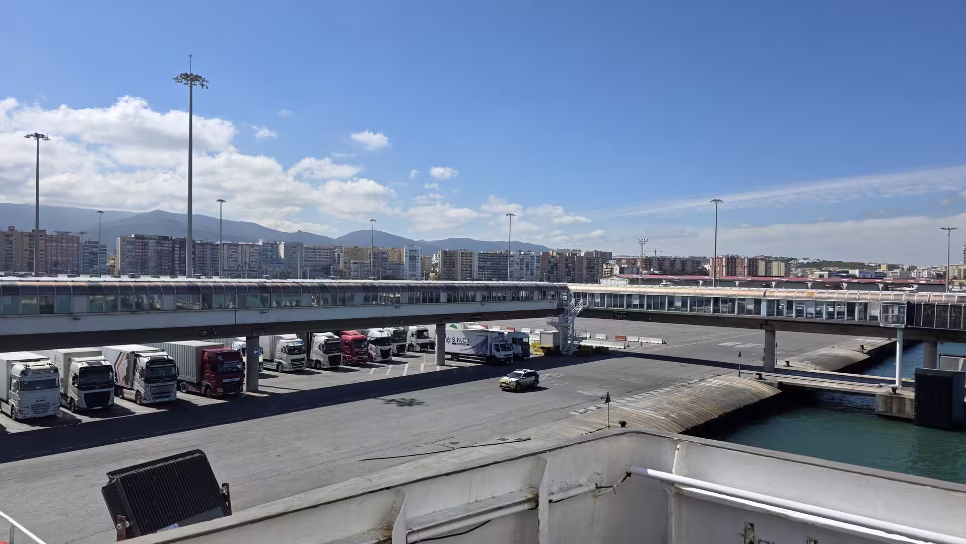
Around midday, the GPS track reached the port area of Algeciras. Here, the land journey paused for a longer period. The data shows a significant stop and then a large time gap before movement resumed on the African side. This corresponds to the ferry crossing and the associated waiting time at the port. For a traveler, this is not just a technical interruption. It is one of the most important moments of the route.
The port of Algeciras marks a clear change in the journey. Until this point, the route had crossed southern Spain by road: from the dry inland region of Murcia, through the highlands of Andalusia, down toward the Costa del Sol, and finally to the edge of the Strait. From here, the journey shifted from driving to crossing the water.
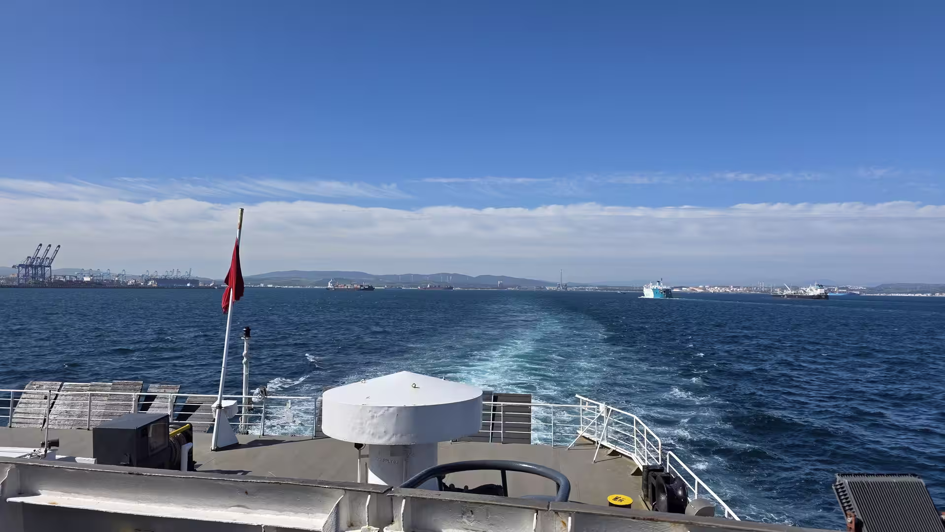
The ferry stage transformed the trip from a road journey across Spain into an intercontinental crossing. The Strait of Gibraltar is narrow, but it carries enormous symbolic weight. Europe lies on one side, Africa on the other. The crossing is short compared with the day’s total distance, but it changes everything: the language, the road signs, the atmosphere, and the feeling of the journey.
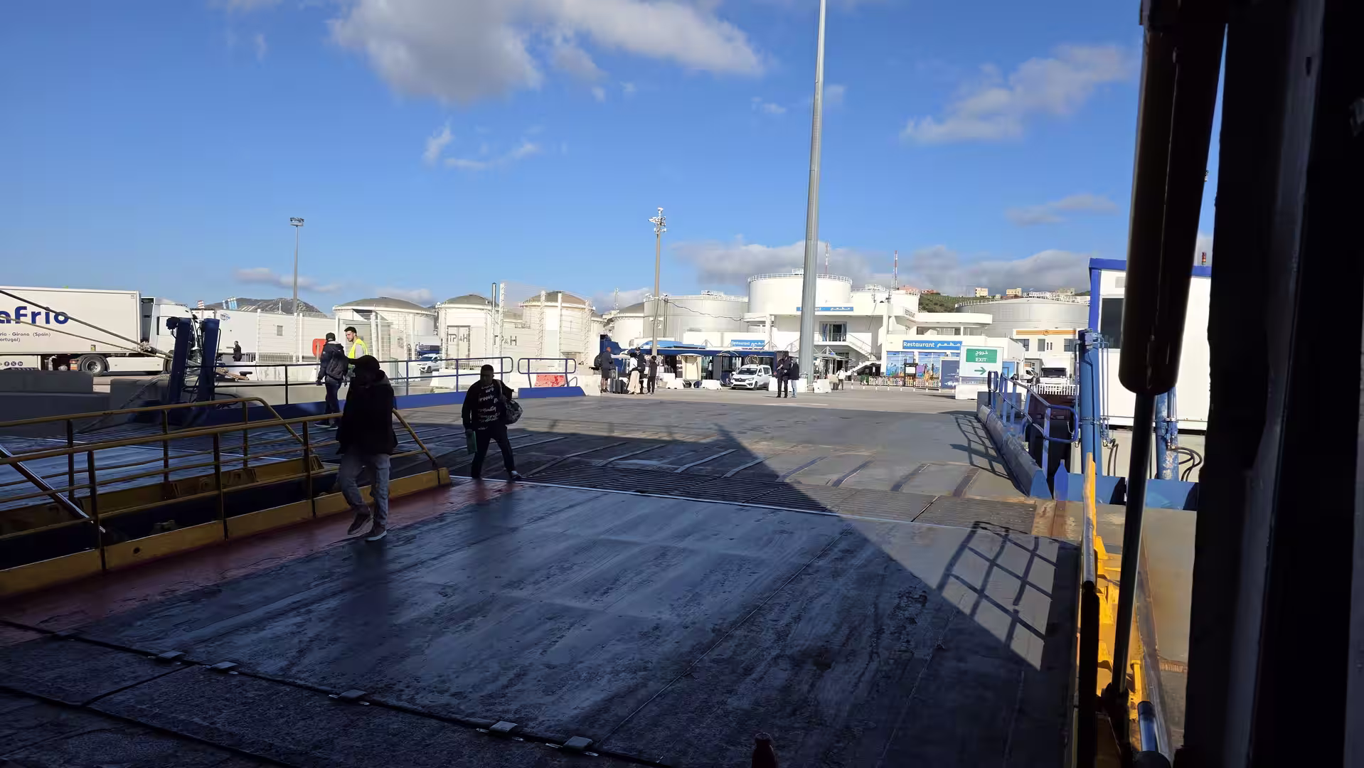
After the ferry crossing, the GPS track resumed near Ceuta. The arrival on the African side gave the route a completely different character. The road no longer belonged to southern Spain, but to the northern edge of Morocco. The first movement after the ferry was short and local compared with the earlier Spanish sections, but it marked a major geographic transition.
From Ceuta, the route continued south toward Fnideq. This final section was much shorter than the long drive across Spain, but it completed the day’s journey. The road followed the northern Moroccan coastal area, close to the Mediterranean and near the border region. Compared with the long inland crossing of the morning, the final kilometers felt compressed and urban. The sea, the hills, the border zone, and the towns of northern Morocco all came together in a relatively small area.
The GPS track shows a few short stops after arrival on the African side, which fits the character of this part of the journey. Border areas, port exits, local traffic, and the transition into Morocco can all slow the pace. After the long ferry break and the formal crossing between continents, the final road section was less about distance and more about arrival.
The journey ended in Fnideq in the early evening. By then, the route had covered approximately 530 kilometers in total, including the road sections and the ferry connection. The full recorded travel day lasted more than twelve hours, although a large part of that time was connected with the ferry crossing and waiting period between Algeciras and Ceuta.
What made this journey memorable was the sequence of strong geographic contrasts. It began in the dry inland landscapes near Lorca, crossed the high interior of southern Spain, descended toward the Costa del Sol, reached the ferry port at Algeciras, crossed the Strait of Gibraltar, arrived in Ceuta, and ended in Fnideq on the Moroccan side.
Few travel days contain such a clear progression. The route moved from southeastern Spain to Andalusia, from inland plateaus to coastal highways, from Europe to Africa, and from a Spanish road network into northern Morocco. The distance itself was long, but the real story was the transition.
The morning was defined by elevation and inland scenery. The road rose into the high landscapes of southern Spain, passing through dry uplands and mountain-influenced terrain. The middle of the day was shaped by the descent toward the coast and the approach to Algeciras. The afternoon was dominated by the ferry crossing, the pause at the Strait, and the change from Spain to Morocco. The evening brought the final arrival near Fnideq, with the Mediterranean still close but the travel atmosphere completely transformed.
This route is especially interesting for travelers who enjoy long overland journeys. It is not just a drive to a ferry. It is a full travel narrative: departure from the Spanish southeast, crossing of Andalusia, arrival at the Strait of Gibraltar, ferry to North Africa, and entry into Morocco. The journey shows how travel by road and ferry can make geography tangible. Each stage feels different, and each transition is visible in the landscape.
For a travel website, this route is well suited as a story about movement between continents. It combines practical travel elements with strong scenic impressions. The dry landscapes of Murcia, the highlands near Granada, the busy Costa del Sol, the port of Algeciras, the Strait of Gibraltar, Ceuta, and Fnideq all form part of one continuous travel day.
By the time the journey ended, the day had connected two countries and two continents. It began in Spain and ended in Morocco. It crossed mountains, motorways, coastal corridors, a major ferry port, and one of the most famous maritime passages in the world. More than anything, it was a reminder that the shortest distance between Europe and Africa can still feel like a remarkable journey.